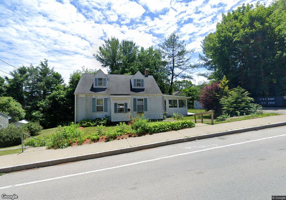
118 Blithewood Ave Worcester, MA 01604
Broadmeadow Brook NeighborhoodEstimated Value: $376,000 - $441,000
3
Beds
1
Bath
1,000
Sq Ft
$403/Sq Ft
Est. Value
About This Home
This home is located at 118 Blithewood Ave, Worcester, MA 01604 and is currently estimated at $402,622, approximately $402 per square foot. 118 Blithewood Ave is a home located in Worcester County with nearby schools including Jacob Hiatt Magnet School, Chandler Magnet, and Rice Square Elementary School.
Ownership History
Date
Name
Owned For
Owner Type
Purchase Details
Closed on
Feb 24, 2010
Sold by
Clay Marilyn E and Clay David L
Bought by
Brown Amy L
Current Estimated Value
Home Financials for this Owner
Home Financials are based on the most recent Mortgage that was taken out on this home.
Original Mortgage
$127,500
Outstanding Balance
$85,051
Interest Rate
5.11%
Mortgage Type
Purchase Money Mortgage
Estimated Equity
$317,571
Purchase Details
Closed on
Jun 4, 2004
Sold by
Clay Marilyn E and Morrow Marilyn E
Bought by
Clay David L and Clay Marilyn E
Create a Home Valuation Report for This Property
The Home Valuation Report is an in-depth analysis detailing your home's value as well as a comparison with similar homes in the area
Home Values in the Area
Average Home Value in this Area
Purchase History
| Date | Buyer | Sale Price | Title Company |
|---|---|---|---|
| Brown Amy L | $172,500 | -- | |
| Clay Marilyn E | -- | -- | |
| Clay David L | -- | -- |
Source: Public Records
Mortgage History
| Date | Status | Borrower | Loan Amount |
|---|---|---|---|
| Open | Brown Amy L | $127,500 |
Source: Public Records
Tax History
| Year | Tax Paid | Tax Assessment Tax Assessment Total Assessment is a certain percentage of the fair market value that is determined by local assessors to be the total taxable value of land and additions on the property. | Land | Improvement |
|---|---|---|---|---|
| 2025 | $4,539 | $344,100 | $118,700 | $225,400 |
| 2024 | $4,459 | $324,300 | $118,700 | $205,600 |
| 2023 | $4,262 | $297,200 | $103,200 | $194,000 |
| 2022 | $3,889 | $255,700 | $82,600 | $173,100 |
| 2021 | $3,705 | $227,600 | $66,100 | $161,500 |
| 2020 | $3,616 | $212,700 | $66,100 | $146,600 |
| 2019 | $3,436 | $190,900 | $59,500 | $131,400 |
| 2018 | $3,449 | $182,400 | $59,500 | $122,900 |
| 2017 | $3,308 | $172,100 | $59,500 | $112,600 |
| 2016 | $3,223 | $156,400 | $43,800 | $112,600 |
| 2015 | $3,139 | $156,400 | $43,800 | $112,600 |
| 2014 | $3,056 | $156,400 | $43,800 | $112,600 |
Source: Public Records
Map
Nearby Homes
- 9 Marissa Cir
- 7 Clarissa St
- 6 Nathaniel St
- 1195 Grafton St Unit 29
- 1195 Grafton St Unit 39
- 7 Barbara St
- 1459 Grafton Rd
- 11 Maplewood Rd
- 8 Nightview Place
- 266 Massasoit Rd
- 3 Julien Ave
- 25 Stoneham Rd
- 259 Massasoit Rd
- 12 Irene Ct
- 256 Massasoit Rd
- 2 Salisbury St
- 300 Millbury Ave
- 53 Denver Terrace
- 2 Diane St
- 63 Progressive St
- 120 Blithewood Ave
- 120 Blithewood Ave Unit B
- 115 Blithewood Ave
- 117 Blithewood Ave
- 107 Blithewood Ave
- 110 Blithewood Ave
- 119 Blithewood Ave
- 102 Blithewood Ave
- 127 Blithewood Ave
- 132 Blithewood Ave Unit 2
- 132 Blithewood Ave Unit B
- 132 Blithewood Ave Unit 1
- 130 Blithewood Ave
- 130 Blithewood Ave Unit L
- 98 Blithewood Ave
- 14 Weatherstone Dr
- 244 Weatherstone Dr
- 243 Weatherstone Dr
- 242 Weatherstone Dr
- 241 Weatherstone Dr
Your Personal Tour Guide
Ask me questions while you tour the home.