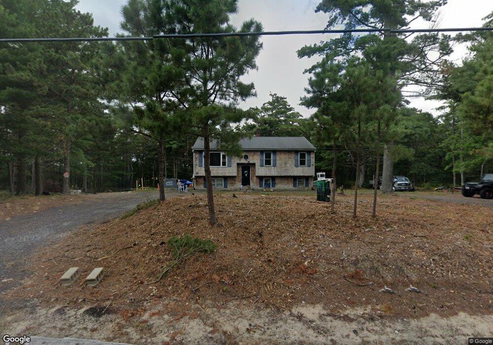
118 Charge Pond Rd Wareham, MA 02571
Estimated Value: $405,000 - $627,000
3
Beds
1
Bath
1,028
Sq Ft
$511/Sq Ft
Est. Value
About This Home
This home is located at 118 Charge Pond Rd, Wareham, MA 02571 and is currently estimated at $524,799, approximately $510 per square foot. 118 Charge Pond Rd is a home located in Plymouth County.
Ownership History
Date
Name
Owned For
Owner Type
Purchase Details
Closed on
Aug 23, 2018
Sold by
Oconnor Janice L
Bought by
Charge Pond Llc
Current Estimated Value
Purchase Details
Closed on
Apr 8, 1994
Sold by
Bulman Michael P
Bought by
Hemland Rt and Striar
Purchase Details
Closed on
May 31, 1990
Sold by
Bardan Rt
Bought by
Bulman Michael P
Home Financials for this Owner
Home Financials are based on the most recent Mortgage that was taken out on this home.
Original Mortgage
$62,450
Interest Rate
10.25%
Mortgage Type
Purchase Money Mortgage
Create a Home Valuation Report for This Property
The Home Valuation Report is an in-depth analysis detailing your home's value as well as a comparison with similar homes in the area
Purchase History
| Date | Buyer | Sale Price | Title Company |
|---|---|---|---|
| Charge Pond Llc | -- | -- | |
| Charge Pond Llc | -- | -- | |
| Hemland Rt | $35,000 | -- | |
| Bulman Michael P | $62,450 | -- |
Source: Public Records
Mortgage History
| Date | Status | Borrower | Loan Amount |
|---|---|---|---|
| Previous Owner | Bulman Michael P | $62,450 |
Source: Public Records
Tax History
| Year | Tax Paid | Tax Assessment Tax Assessment Total Assessment is a certain percentage of the fair market value that is determined by local assessors to be the total taxable value of land and additions on the property. | Land | Improvement |
|---|---|---|---|---|
| 2025 | $3,920 | $376,200 | $128,000 | $248,200 |
| 2024 | $4,037 | $359,500 | $102,700 | $256,800 |
| 2023 | $3,592 | $317,800 | $93,500 | $224,300 |
| 2022 | $3,592 | $272,500 | $93,500 | $179,000 |
| 2021 | $3,455 | $256,900 | $93,500 | $163,400 |
| 2020 | $3,406 | $256,900 | $93,500 | $163,400 |
| 2019 | $3,283 | $247,000 | $98,800 | $148,200 |
| 2018 | $3,270 | $239,900 | $98,800 | $141,100 |
| 2017 | $2,995 | $222,700 | $98,800 | $123,900 |
| 2016 | $2,962 | $218,900 | $103,600 | $115,300 |
| 2015 | $2,598 | $198,800 | $103,600 | $95,200 |
| 2014 | $2,755 | $214,400 | $98,600 | $115,800 |
Source: Public Records
Map
Nearby Homes
- 0 Charge Pond Rd
- 2711 Cranberry Hwy
- 223 Charge Pond Rd
- 2697 Cranberry Hwy Unit 21
- 2645 Cranberry Hwy Unit A
- 2743 Cranberry Hwy Unit 5D
- 18 Red Pine Ln
- 102 Maple Springs Rd
- 156 Sandwich Rd
- 110 Mayflower Ridge Dr
- 91 Agawam Lake Shore Dr
- 12 Linwood Ave
- 12 Oakdale St
- 7 Crane Landing Rd
- 2838 Cranberry Hwy
- 437 Main St
- 3 Michael Dr
- 9 Old Glen Charlie Rd
- 7 Knowles Ave
- 10 Oak St
- 122 Charge Pond Rd
- 124 Charge Pond Rd
- 112 Charge Pond Rd
- 126 Charge Pond Rd
- 128 Charge Pond Rd
- 108 Charge Pond Rd
- 130 Charge Pond Rd
- 104 Charge Pond Rd
- 132 Charge Pond Rd
- 136 Charge Pond Rd
- 140 Charge Pond Rd
- 10 Charge Pond Rd
- 146 Charge Pond Rd
- 7 Hector St
- 26 Lakeside
- Rte 28 Wareham
- 18 Hector St
- 49&51 Leisure Ln
- 0 Brittany Dr Unit 70840595
- Lot 12 Ridge Rd
Your Personal Tour Guide
Ask me questions while you tour the home.