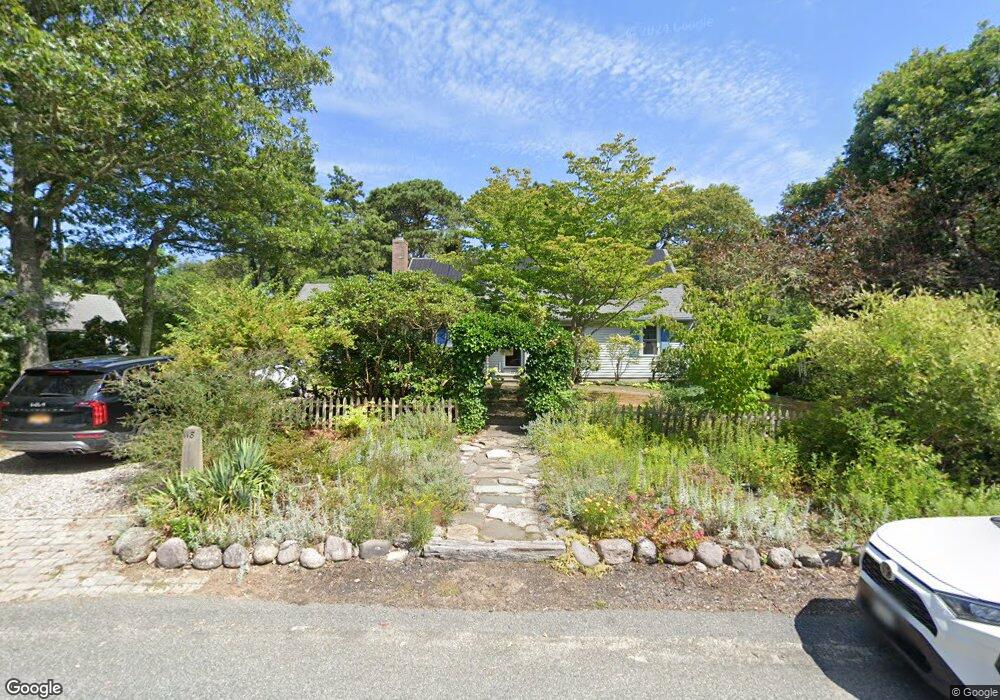
118 Donahue Rd Brewster, MA 02631
Estimated Value: $818,000 - $913,000
3
Beds
2
Baths
1,501
Sq Ft
$569/Sq Ft
Est. Value
About This Home
This home is located at 118 Donahue Rd, Brewster, MA 02631 and is currently estimated at $853,857, approximately $568 per square foot. 118 Donahue Rd is a home located in Barnstable County with nearby schools including Stony Brook Elementary School, Eddy Elementary School, and Nauset Regional Middle School.
Ownership History
Date
Name
Owned For
Owner Type
Purchase Details
Closed on
Oct 21, 2021
Sold by
Komosa Ft
Bought by
Komosa Family Irt
Current Estimated Value
Purchase Details
Closed on
Jan 25, 2013
Sold by
Komosa Donald J and Komosa Joan M
Bought by
Komosa Ft
Purchase Details
Closed on
Aug 28, 1997
Sold by
Marcus Myles J
Bought by
Komosa Donald J and Komosa Joan M
Home Financials for this Owner
Home Financials are based on the most recent Mortgage that was taken out on this home.
Original Mortgage
$124,800
Interest Rate
7.41%
Mortgage Type
Purchase Money Mortgage
Create a Home Valuation Report for This Property
The Home Valuation Report is an in-depth analysis detailing your home's value as well as a comparison with similar homes in the area
Home Values in the Area
Average Home Value in this Area
Purchase History
| Date | Buyer | Sale Price | Title Company |
|---|---|---|---|
| Komosa Family Irt | -- | None Available | |
| Komosa Ft | -- | -- | |
| Komosa Donald J | $156,000 | -- |
Source: Public Records
Mortgage History
| Date | Status | Borrower | Loan Amount |
|---|---|---|---|
| Previous Owner | Komosa Donald J | $124,800 |
Source: Public Records
Tax History Compared to Growth
Tax History
| Year | Tax Paid | Tax Assessment Tax Assessment Total Assessment is a certain percentage of the fair market value that is determined by local assessors to be the total taxable value of land and additions on the property. | Land | Improvement |
|---|---|---|---|---|
| 2025 | $4,835 | $702,700 | $271,700 | $431,000 |
| 2024 | $4,671 | $685,900 | $278,600 | $407,300 |
| 2023 | $4,321 | $618,100 | $248,700 | $369,400 |
| 2022 | $4,058 | $517,000 | $207,200 | $309,800 |
| 2021 | $3,853 | $449,100 | $180,200 | $268,900 |
| 2020 | $3,640 | $422,300 | $165,700 | $256,600 |
| 2019 | $3,459 | $403,200 | $152,500 | $250,700 |
| 2018 | $3,254 | $394,000 | $152,500 | $241,500 |
| 2017 | $3,212 | $382,800 | $152,500 | $230,300 |
| 2016 | $2,962 | $351,400 | $135,900 | $215,500 |
| 2015 | $2,859 | $346,100 | $133,200 | $212,900 |
Source: Public Records
Map
Nearby Homes
- 728 Great Fields Rd
- 30 Fox Crossing Rd
- 120 Red Maple Rd
- 602 Tubman Rd
- 41 Great Oak Rd
- 9 Park Ln
- 70 Run Hill Rd
- 1424 Main St
- 55 Carlton Cir
- 663 Crowells Bog Rd
- 1580 Main St
- 132 Leland Rd
- 242 Sheep Pond Dr
- 272 Sheep Pond Dr
- 0 Canoe Pond Dr
- 14 2nd St
- 1861 Main St
- 33 Captain William Arthur Rd
- 26 Newport Rd
- 0 Ridgewood Dr