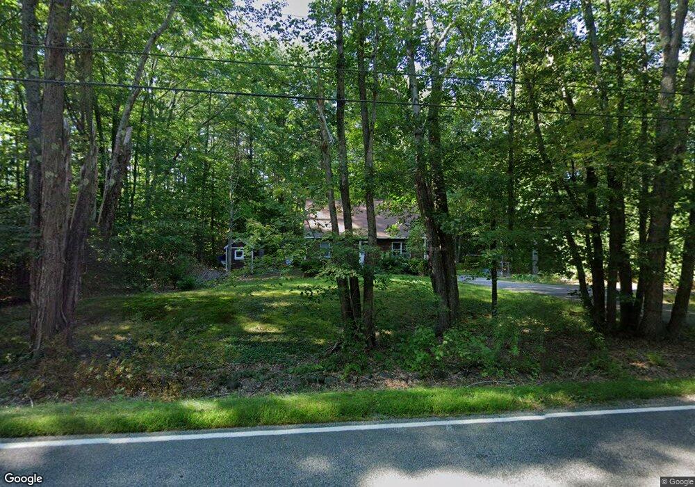
118 Grant Rd Saco, ME 04072
North Saco NeighborhoodEstimated Value: $436,000 - $492,000
3
Beds
2
Baths
1,152
Sq Ft
$404/Sq Ft
Est. Value
About This Home
This home is located at 118 Grant Rd, Saco, ME 04072 and is currently estimated at $465,257, approximately $403 per square foot. 118 Grant Rd is a home located in York County with nearby schools including C K Burns School and Saco Middle School.
Ownership History
Date
Name
Owned For
Owner Type
Purchase Details
Closed on
Aug 29, 2011
Sold by
Tate Sharon J
Bought by
Biette Ashleigh E and Biette Dennis Andrew
Current Estimated Value
Home Financials for this Owner
Home Financials are based on the most recent Mortgage that was taken out on this home.
Original Mortgage
$180,310
Outstanding Balance
$125,056
Interest Rate
4.53%
Mortgage Type
Purchase Money Mortgage
Estimated Equity
$340,201
Create a Home Valuation Report for This Property
The Home Valuation Report is an in-depth analysis detailing your home's value as well as a comparison with similar homes in the area
Home Values in the Area
Average Home Value in this Area
Purchase History
| Date | Buyer | Sale Price | Title Company |
|---|---|---|---|
| Biette Ashleigh E | $174,000 | -- |
Source: Public Records
Mortgage History
| Date | Status | Borrower | Loan Amount |
|---|---|---|---|
| Open | Biette Ashleigh E | $180,310 |
Source: Public Records
Tax History
| Year | Tax Paid | Tax Assessment Tax Assessment Total Assessment is a certain percentage of the fair market value that is determined by local assessors to be the total taxable value of land and additions on the property. | Land | Improvement |
|---|---|---|---|---|
| 2024 | $4,832 | $343,900 | $147,200 | $196,700 |
| 2023 | $5,073 | $343,900 | $147,200 | $196,700 |
| 2022 | $4,579 | $249,800 | $112,100 | $137,700 |
| 2021 | $4,391 | $232,600 | $100,800 | $131,800 |
| 2020 | $4,105 | $208,700 | $88,700 | $120,000 |
| 2019 | $4,045 | $208,700 | $88,700 | $120,000 |
| 2018 | $3,888 | $200,600 | $80,600 | $120,000 |
| 2017 | $3,579 | $184,700 | $73,600 | $111,100 |
| 2016 | $3,309 | $170,400 | $59,300 | $111,100 |
| 2015 | $3,210 | $167,000 | $57,300 | $109,700 |
| 2014 | $3,110 | $167,000 | $57,300 | $109,700 |
| 2013 | $3,103 | $167,000 | $57,300 | $109,700 |
Source: Public Records
Map
Nearby Homes
- 153 Mckenney Rd
- 181 Watson Mill Rd
- 130 Heath Rd
- 00 Miso Way
- 3 Trapper John Rd
- 70 Beech Plains Rd
- 0 Beech Plains Rd
- 158 Lord Rd
- Lot 1 & 2 Memory Ln
- 0 Simpson Rd
- 48 Tickle Way
- 69 Old Orchard Rd
- 281 Narragansett Trail
- 4 Primrose Ln
- 4 Lebanon Rd
- 430 Narragansett Trail
- 18 Eaton Dr
- 17 Johnson Farm Rd
- 9 Johnson Farm Rd
- 30 Joy Valley Rd
- 114 Grant Rd
- 119 Grant Rd
- 122 Grant Rd
- 115 Grant Rd
- 123 Grant Rd
- 110 Grant Rd
- 111 Grant Rd
- 126 Grant Rd
- 104 Grant Rd
- 3 Frances Libby Way
- 4 Frances Libby Way
- 2 Frances Libby Way
- 4 Boynton Brook Rd
- 103 Grant Rd
- 6 Boynton Brook Rd
- 15 Good Day Way
- 5 Frances Libby Way
- 100 Grant Rd
- 8 Frances Libby Way
- 9 Frances Libby Way
Your Personal Tour Guide
Ask me questions while you tour the home.