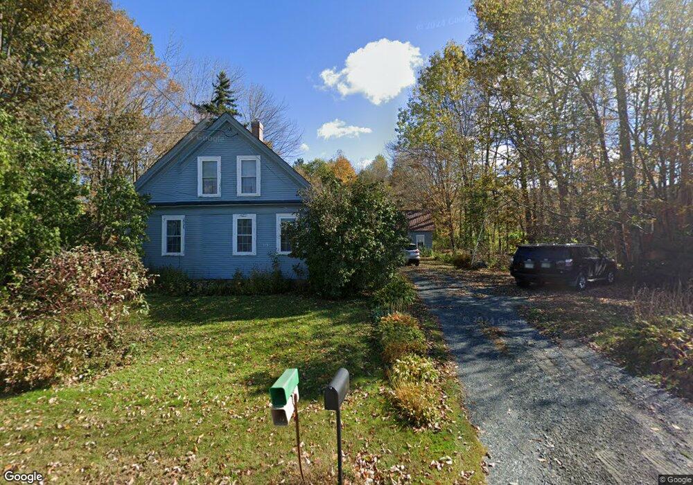
118 Lempster St Lempster, NH 03605
Estimated Value: $288,658 - $422,000
3
Beds
1
Bath
1,893
Sq Ft
$180/Sq Ft
Est. Value
About This Home
This home is located at 118 Lempster St, Lempster, NH 03605 and is currently estimated at $340,415, approximately $179 per square foot. 118 Lempster St is a home located in Sullivan County.
Ownership History
Date
Name
Owned For
Owner Type
Purchase Details
Closed on
Jun 14, 2002
Sold by
John E Terrell T
Bought by
Mccabe Patricia E
Current Estimated Value
Home Financials for this Owner
Home Financials are based on the most recent Mortgage that was taken out on this home.
Original Mortgage
$70,000
Interest Rate
6.8%
Create a Home Valuation Report for This Property
The Home Valuation Report is an in-depth analysis detailing your home's value as well as a comparison with similar homes in the area
Home Values in the Area
Average Home Value in this Area
Purchase History
| Date | Buyer | Sale Price | Title Company |
|---|---|---|---|
| Mccabe Patricia E | $100,000 | -- |
Source: Public Records
Mortgage History
| Date | Status | Borrower | Loan Amount |
|---|---|---|---|
| Open | Mccabe Patricia E | $94,000 | |
| Closed | Mccabe Patricia E | $5,000 | |
| Closed | Mccabe Patricia E | $70,000 |
Source: Public Records
Tax History Compared to Growth
Tax History
| Year | Tax Paid | Tax Assessment Tax Assessment Total Assessment is a certain percentage of the fair market value that is determined by local assessors to be the total taxable value of land and additions on the property. | Land | Improvement |
|---|---|---|---|---|
| 2024 | $4,794 | $166,100 | $30,600 | $135,500 |
| 2023 | $4,503 | $166,100 | $30,600 | $135,500 |
| 2022 | $3,928 | $166,100 | $30,600 | $135,500 |
| 2021 | $4,032 | $169,700 | $30,600 | $139,100 |
| 2020 | $4,215 | $169,700 | $30,600 | $139,100 |
| 2019 | $4,200 | $153,800 | $28,600 | $125,200 |
| 2018 | $4,499 | $153,800 | $28,600 | $125,200 |
| 2017 | $3,887 | $153,800 | $28,600 | $125,200 |
| 2016 | $3,793 | $153,800 | $28,600 | $125,200 |
| 2015 | $3,579 | $153,800 | $28,600 | $125,200 |
| 2014 | $3,395 | $169,900 | $41,900 | $128,000 |
| 2013 | $3,205 | $157,200 | $41,900 | $115,300 |
Source: Public Records
Map
Nearby Homes
- Lot 21 Dodge Pond Ln
- 0 Allen Rd
- 6 Benway Hill Rd
- 144 Keyes Hollow Rd
- 17 S Hill Dr
- 315 Gove Rd
- 8 Hillside Dr
- 133 Earl Ln
- 219 Crescent Lake Rd
- 0 Olds Rd
- 264 Olds Rd
- 189 S Hedgehog Hill Rd
- 94 Cold Pond Rd
- 444 Potato Hill Rd
- 23 Potato Hill Rd
- Lot 11-5 Ball Park Rd
- Lot 11-2 Ball Park Rd
- 17 Meadow Rd
- 24 Ball Park Rd
- 33 Four Corners Rd
- 116 Lempster St
- 124 Lempster St
- 117 Lempster St
- 127 Lempster St
- 0 Pitkin Rd
- 111 Lempster St
- 130 Lempster St
- 106 Lempster St
- 133 Lempster St
- 0 N Pitkin Rd
- 140 Lempster St
- 143 Lempster St
- 491 Pitkin Rd
- 491 Pitkin Rd
- 559 Lovejoy Rd
- 150 Lempster St
- 154 Lempster St
- 157 Lempster St
- 72 Lempster St
- 71 Lempster St