118 Long Fence Irvine, CA 92602
Orchard Hills NeighborhoodEstimated Value: $2,980,797 - $3,361,000
4
Beds
5
Baths
3,324
Sq Ft
$954/Sq Ft
Est. Value
About This Home
This home is located at 118 Long Fence, Irvine, CA 92602 and is currently estimated at $3,170,199, approximately $953 per square foot. 118 Long Fence is a home with nearby schools including Orchard Hills School, Arnold O. Beckman High School, and Northwood Montessori Of Irvine.
Ownership History
Date
Name
Owned For
Owner Type
Purchase Details
Closed on
Feb 22, 2019
Sold by
Gurney Paul Thomas and Allen Jennette Lynn
Bought by
Gurney Paul Thomas and Allen Jennette Lynn
Current Estimated Value
Purchase Details
Closed on
May 22, 2015
Sold by
Taylor Morrison Of California Llc
Bought by
Gurney Paul Thomas and Allen Jennette Lynn
Home Financials for this Owner
Home Financials are based on the most recent Mortgage that was taken out on this home.
Original Mortgage
$1,297,992
Outstanding Balance
$965,085
Interest Rate
2.75%
Mortgage Type
Adjustable Rate Mortgage/ARM
Estimated Equity
$2,205,114
Create a Home Valuation Report for This Property
The Home Valuation Report is an in-depth analysis detailing your home's value as well as a comparison with similar homes in the area
Home Values in the Area
Average Home Value in this Area
Purchase History
| Date | Buyer | Sale Price | Title Company |
|---|---|---|---|
| Gurney Paul Thomas | -- | None Available | |
| Gurney Paul Thomas | $1,622,500 | First American Title Company |
Source: Public Records
Mortgage History
| Date | Status | Borrower | Loan Amount |
|---|---|---|---|
| Open | Gurney Paul Thomas | $1,297,992 |
Source: Public Records
Tax History Compared to Growth
Tax History
| Year | Tax Paid | Tax Assessment Tax Assessment Total Assessment is a certain percentage of the fair market value that is determined by local assessors to be the total taxable value of land and additions on the property. | Land | Improvement |
|---|---|---|---|---|
| 2025 | $19,021 | $1,862,864 | $1,123,732 | $739,132 |
| 2024 | $19,021 | $1,826,338 | $1,101,698 | $724,640 |
| 2023 | $18,582 | $1,790,528 | $1,080,096 | $710,432 |
| 2022 | $18,208 | $1,755,420 | $1,058,918 | $696,502 |
| 2021 | $17,845 | $1,721,000 | $1,038,154 | $682,846 |
| 2020 | $17,662 | $1,703,354 | $1,027,509 | $675,845 |
| 2019 | $17,505 | $1,669,955 | $1,007,361 | $662,594 |
| 2018 | $17,986 | $1,713,779 | $1,073,988 | $639,791 |
| 2017 | $20,378 | $1,680,176 | $1,052,929 | $627,247 |
| 2016 | $22,074 | $1,647,232 | $1,032,283 | $614,949 |
| 2015 | $4,487 | $18,133 | $18,133 | $0 |
| 2014 | -- | $17,778 | $17,778 | $0 |
Source: Public Records
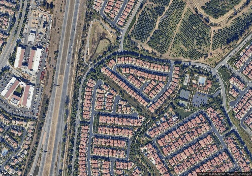
Map
Nearby Homes
- 114 Bridle Path
- 135 Bridle Path
- 46 Shadybend
- 9 Spanish Moss
- 65 Glacier Valley
- 101 Homecoming
- 10 Shadybend
- 90 Rockinghorse
- 65 English Saddle
- 218 Coal Mine
- 61 English Saddle
- 52 Pedigree
- 17 Lowland
- 49 Sunset Cove
- 55 Suede
- 15 Ardmore Unit 117
- 77 Sunset Cove
- 2646 Dunstan Dr
- 2753 Dietrich Dr
- 33 Winterfield Rd