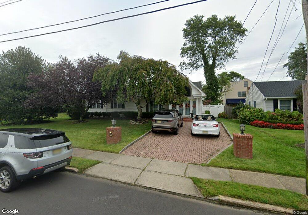
118 Meadowbrook Rd Spring Lake, NJ 07762
Estimated Value: $1,112,000 - $1,453,000
3
Beds
1
Bath
2,007
Sq Ft
$638/Sq Ft
Est. Value
About This Home
This home is located at 118 Meadowbrook Rd, Spring Lake, NJ 07762 and is currently estimated at $1,279,614, approximately $637 per square foot. 118 Meadowbrook Rd is a home located in Monmouth County with nearby schools including Spring Lake Heights Elementary School, St. Catharine School, and The Brookside School.
Ownership History
Date
Name
Owned For
Owner Type
Purchase Details
Closed on
Jan 3, 2011
Sold by
Bartley Charles J and Bartley Dell A
Bought by
Pope Patricia A
Current Estimated Value
Home Financials for this Owner
Home Financials are based on the most recent Mortgage that was taken out on this home.
Original Mortgage
$330,000
Outstanding Balance
$218,130
Interest Rate
4.46%
Mortgage Type
New Conventional
Estimated Equity
$1,061,484
Create a Home Valuation Report for This Property
The Home Valuation Report is an in-depth analysis detailing your home's value as well as a comparison with similar homes in the area
Home Values in the Area
Average Home Value in this Area
Purchase History
| Date | Buyer | Sale Price | Title Company |
|---|---|---|---|
| Pope Patricia A | $420,000 | First American Title Ins Co |
Source: Public Records
Mortgage History
| Date | Status | Borrower | Loan Amount |
|---|---|---|---|
| Open | Pope Patricia A | $330,000 |
Source: Public Records
Tax History
| Year | Tax Paid | Tax Assessment Tax Assessment Total Assessment is a certain percentage of the fair market value that is determined by local assessors to be the total taxable value of land and additions on the property. | Land | Improvement |
|---|---|---|---|---|
| 2025 | $9,598 | $979,700 | $602,400 | $377,300 |
| 2024 | $9,139 | $911,500 | $541,100 | $370,400 |
| 2023 | $9,139 | $816,000 | $461,300 | $354,700 |
| 2022 | $8,038 | $668,000 | $315,000 | $353,000 |
| 2021 | $8,038 | $595,400 | $274,500 | $320,900 |
| 2020 | $7,684 | $565,800 | $274,500 | $291,300 |
| 2019 | $7,649 | $557,500 | $274,500 | $283,000 |
| 2018 | $7,559 | $536,100 | $274,500 | $261,600 |
| 2017 | $7,031 | $517,000 | $274,500 | $242,500 |
| 2016 | $6,973 | $506,400 | $274,500 | $231,900 |
| 2015 | $6,685 | $486,900 | $261,000 | $225,900 |
| 2014 | $6,950 | $517,500 | $297,000 | $220,500 |
Source: Public Records
Map
Nearby Homes
- 909 Jersey Ave
- 2127 Locust Rd
- 574 Central Ave
- 607 Central Ave
- 570 Central Ave
- 27 Apple Dr
- 604 Monmouth Ave
- 304 8th Ave
- 2005 Nassau Dr
- 708 New York Blvd
- 1304 W Magnolia Ave
- 612 Brooklyn Blvd
- 510 Beacon Blvd
- 2077 Benjamin Cir
- 513 Mercer Ave
- 722 Boston Blvd
- 43 Old Squan Rd
- 16 Cherry Ct
- 23 Locust Way
- 703 Sea Girt Ave
- 116 Meadowbrook Rd
- 120 Meadowbrook Rd
- 1007 Ocean Rd
- 127 10th Ave
- 114 Meadowbrook Rd
- 121 Meadowbrook Rd
- 127 1/2 10th Ave
- 119 Meadowbrook Rd
- 123 Meadowbrook Rd
- 1005 Ocean Rd
- 117 Meadowbrook Rd
- 1006 Ocean Rd
- 1012 Ocean Rd
- 112 Meadowbrook Rd
- 129 10th Ave
- 125 10th Ave
- 1008 Ocean Rd
- 1001 Ocean Rd
- 115 Meadowbrook Rd
- 1002 Ocean Rd
Your Personal Tour Guide
Ask me questions while you tour the home.