Estimated Value: $296,000 - $334,000
2
Beds
1
Bath
800
Sq Ft
$393/Sq Ft
Est. Value
About This Home
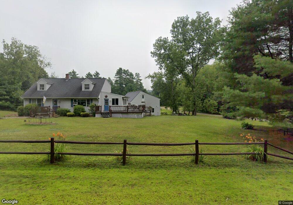
This home is located at 118 Monson Turnpike Rd, Ware, MA 01082 and is currently estimated at $314,530, approximately $393 per square foot. 118 Monson Turnpike Rd is a home located in Hampshire County with nearby schools including Stanley M. Koziol Elementary School, Ware Middle School, and Ware Junior/Senior High School.
Ownership History
Date
Name
Owned For
Owner Type
Purchase Details
Closed on
Feb 8, 1995
Sold by
Bowler Jean and Burke Audrey
Bought by
Mcmanus Roger Lee
Current Estimated Value
Home Financials for this Owner
Home Financials are based on the most recent Mortgage that was taken out on this home.
Original Mortgage
$25,000
Interest Rate
9.18%
Mortgage Type
Purchase Money Mortgage
Create a Home Valuation Report for This Property
The Home Valuation Report is an in-depth analysis detailing your home's value as well as a comparison with similar homes in the area
Home Values in the Area
Average Home Value in this Area
Purchase History
| Date | Buyer | Sale Price | Title Company |
|---|---|---|---|
| Mcmanus Roger Lee | $25,000 | -- | |
| Mcmanus Roger Lee | $25,000 | -- |
Source: Public Records
Mortgage History
| Date | Status | Borrower | Loan Amount |
|---|---|---|---|
| Closed | Mcmanus Roger Lee | $25,000 |
Source: Public Records
Tax History Compared to Growth
Tax History
| Year | Tax Paid | Tax Assessment Tax Assessment Total Assessment is a certain percentage of the fair market value that is determined by local assessors to be the total taxable value of land and additions on the property. | Land | Improvement |
|---|---|---|---|---|
| 2025 | $3,940 | $261,600 | $57,100 | $204,500 |
| 2024 | $3,802 | $232,800 | $54,000 | $178,800 |
| 2023 | $3,799 | $220,100 | $53,300 | $166,800 |
| 2022 | $3,721 | $192,400 | $49,400 | $143,000 |
| 2021 | $3,608 | $178,800 | $49,400 | $129,400 |
| 2020 | $3,513 | $170,300 | $49,400 | $120,900 |
| 2019 | $3,442 | $170,300 | $49,400 | $120,900 |
| 2018 | $3,185 | $153,800 | $41,200 | $112,600 |
| 2017 | $2,829 | $136,200 | $34,500 | $101,700 |
| 2016 | $2,753 | $136,200 | $34,500 | $101,700 |
| 2015 | $2,676 | $136,200 | $34,500 | $101,700 |
| 2014 | $2,790 | $152,400 | $44,100 | $108,300 |
Source: Public Records
Map
Nearby Homes
- 24 Monson Turnpike Rd
- Lot 7 Monson Turnpike Rd
- Lot 1 Monson Turnpike Rd
- 46 Horseshoe Cir
- 20 Indian Hill Rd
- 0 Beach Rd
- 248 Monson Turnpike Rd
- 32 Coffey Hill Rd
- 9 Sczygiel Rd
- Lot 16 Coldbrook Dr
- Lot 20 Coldbrook Dr
- Lot 22 Coldbrook Dr
- Lot 13 Coldbrook Dr
- Lot 25 Coldbrook Dr
- Lot 23 Coldbrook Dr
- 67 Babcock Tavern Rd
- LOT D Aldrich St
- 57 Babcock Tavern Rd
- 49 Babcock Tavern Rd
- 113 Greenwich Plains Rd
- 124 Monson Turnpike Rd
- 120 Monson Turnpike Rd
- 116 Monson Turnpike Rd
- 112 Monson Turnpike Rd
- 110 Monson Turnpike Rd
- 111 Monson Turnpike Rd
- 1 Big Tree Dr
- 108 Monson Turnpike Rd
- 5 Big Tree Dr
- 105 Monson Turnpike Rd
- 104 Monson Turnpike Rd
- 166 Monson Turnpike Rd
- 101 Monson Turnpike Rd
- 7 Big Tree Dr
- 102 Monson Turnpike Rd
- 2 Big Tree Dr
- 2 Big Tree Dr
- 2 Big Tree Dr
- 4 Big Tree Dr
- 6 Big Tree Dr