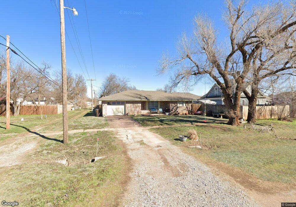
118 S Grove St Apache, OK 73006
Estimated Value: $69,000 - $107,000
2
Beds
1
Bath
1,194
Sq Ft
$69/Sq Ft
Est. Value
About This Home
This home is located at 118 S Grove St, Apache, OK 73006 and is currently estimated at $82,036, approximately $68 per square foot. 118 S Grove St is a home with nearby schools including Apache Elementary School, Apache Middle School, and Apache High School.
Ownership History
Date
Name
Owned For
Owner Type
Purchase Details
Closed on
Aug 10, 2018
Sold by
Morales Carletta and Morales Israel
Bought by
Denny Ladora
Current Estimated Value
Purchase Details
Closed on
Aug 19, 2015
Bought by
Denneyladora Trustee Of
Purchase Details
Closed on
Jun 25, 2013
Sold by
Irwin Marsha J and Crane Elaine C
Bought by
Denney Ladora W
Home Financials for this Owner
Home Financials are based on the most recent Mortgage that was taken out on this home.
Original Mortgage
$48,650
Interest Rate
3.83%
Mortgage Type
New Conventional
Purchase Details
Closed on
Sep 11, 2006
Purchase Details
Closed on
Jun 1, 1987
Create a Home Valuation Report for This Property
The Home Valuation Report is an in-depth analysis detailing your home's value as well as a comparison with similar homes in the area
Purchase History
| Date | Buyer | Sale Price | Title Company |
|---|---|---|---|
| Denny Ladora | -- | None Available | |
| Denneyladora Trustee Of | -- | -- | |
| Denney Ladora W | -- | -- | |
| -- | -- | -- | |
| -- | $35,000 | -- |
Source: Public Records
Mortgage History
| Date | Status | Borrower | Loan Amount |
|---|---|---|---|
| Previous Owner | Denney Ladora W | $48,650 |
Source: Public Records
Tax History
| Year | Tax Paid | Tax Assessment Tax Assessment Total Assessment is a certain percentage of the fair market value that is determined by local assessors to be the total taxable value of land and additions on the property. | Land | Improvement |
|---|---|---|---|---|
| 2025 | $320 | $5,377 | $360 | $5,017 |
| 2024 | $321 | $5,221 | $350 | $4,871 |
| 2023 | $314 | $5,069 | $347 | $4,722 |
| 2022 | $268 | $4,922 | $347 | $4,575 |
| 2021 | $321 | $4,778 | $347 | $4,431 |
| 2020 | $265 | $4,639 | $347 | $4,292 |
| 2019 | $256 | $4,504 | $347 | $4,157 |
| 2018 | $276 | $4,504 | $347 | $4,157 |
| 2017 | $266 | $4,538 | $346 | $4,192 |
| 2016 | $602 | $7,645 | $346 | $7,298 |
| 2015 | $607 | $7,644 | $346 | $7,298 |
| 2014 | $631 | $7,644 | $346 | $7,298 |
Source: Public Records
Map
Nearby Homes
- 223 Oak St
- 105 London Dr
- TBD Highway 281
- TBD U S Highway 62
- 301 E Mckinley Ave
- TBD 2580
- TBD NE King Rd
- 1100 NE King Rd
- 207 N Hillside Rd
- 124 Ellsworth Dr
- 116 N Lakeside Dr
- 115 N Brookdale
- TBD Hilltop Rd
- 120 NE Kiowa Rd
- 13145 NE Clearwater Cir
- 21168 County Road 1480
- 7655 Northgate Dr
- 40001 U S 281
- 108 London Dr
- 104 London Dr
- 511 E Floyd Ave
- 501 E Floyd Ave
- 508 W Evans Ave
- 510 E Floyd
- 517 E Floyd Ave
- 423 E Floyd Ave
- 516 W Evans Ave
- 119 S Elm St
- 428 E Evans Ave
- 416 E Evans Ave
- 113 N Grove St
- 502 W Evans Ave
- 421 E Floyd Ave
- 207 S Grove St
- 418 E Floyd Ave
- 521 W Evans Ave
- 515 W Evans Ave
- 511 W Evans Ave
- 408 E Evans Ave
- 501 W Evans Ave
Your Personal Tour Guide
Ask me questions while you tour the home.