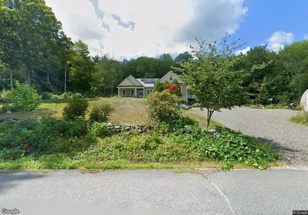
118 Whitaker Rd New Salem, MA 01355
New Salem NeighborhoodEstimated Value: $471,000 - $557,097
3
Beds
2
Baths
2,725
Sq Ft
$194/Sq Ft
Est. Value
About This Home
This home is located at 118 Whitaker Rd, New Salem, MA 01355 and is currently estimated at $529,524, approximately $194 per square foot. 118 Whitaker Rd is a home located in Franklin County with nearby schools including Swift River School and Ralph C Mahar Regional School.
Ownership History
Date
Name
Owned For
Owner Type
Purchase Details
Closed on
May 8, 2013
Sold by
Doherty Garrick P and Doherty Margaret A
Bought by
Doherty Garrick P and Doherty Margaret A
Current Estimated Value
Home Financials for this Owner
Home Financials are based on the most recent Mortgage that was taken out on this home.
Original Mortgage
$185,000
Outstanding Balance
$42,772
Interest Rate
3.51%
Estimated Equity
$486,752
Purchase Details
Closed on
Jan 6, 2011
Sold by
Eaton Lawrence P
Bought by
Doherty Garrick and Doherty Margaret
Purchase Details
Closed on
Oct 12, 2004
Sold by
Haney Stella E and Adams Marilyn A
Bought by
Doherty Garrick P and Doherty Margaret A
Create a Home Valuation Report for This Property
The Home Valuation Report is an in-depth analysis detailing your home's value as well as a comparison with similar homes in the area
Home Values in the Area
Average Home Value in this Area
Purchase History
| Date | Buyer | Sale Price | Title Company |
|---|---|---|---|
| Doherty Garrick P | -- | -- | |
| Doherty Garrick | $150,000 | -- | |
| Doherty Garrick P | $35,000 | -- |
Source: Public Records
Mortgage History
| Date | Status | Borrower | Loan Amount |
|---|---|---|---|
| Open | Doherty Garrick P | $185,000 |
Source: Public Records
Tax History Compared to Growth
Tax History
| Year | Tax Paid | Tax Assessment Tax Assessment Total Assessment is a certain percentage of the fair market value that is determined by local assessors to be the total taxable value of land and additions on the property. | Land | Improvement |
|---|---|---|---|---|
| 2025 | $6,403 | $471,500 | $56,700 | $414,800 |
| 2024 | $6,244 | $434,500 | $56,700 | $377,800 |
| 2023 | $6,634 | $432,200 | $57,300 | $374,900 |
| 2022 | $6,790 | $358,900 | $57,300 | $301,600 |
| 2021 | $562 | $328,700 | $52,800 | $275,900 |
| 2020 | $563 | $328,700 | $52,800 | $275,900 |
| 2019 | $5,297 | $301,500 | $52,800 | $248,700 |
| 2018 | $555 | $300,900 | $51,300 | $249,600 |
| 2017 | $5,999 | $334,600 | $48,900 | $285,700 |
| 2016 | $5,107 | $296,400 | $46,800 | $249,600 |
| 2015 | $4,741 | $287,700 | $50,800 | $236,900 |
Source: Public Records
Map
Nearby Homes
- 63 Cooleyville Rd
- 0 Cooleyville Rd
- 70 N Main St
- 72 N Main St
- 0 Wendell Rd
- Lot 55 Wendell Rd
- Lot 31 Wendell Rd
- 23 Pelham Hill Rd
- 207 Leverett Rd
- 359 Montague Rd
- 85 Lake Dr
- 84 Lake Dr
- 0 Shore Dr
- 36 Merrill Dr
- 4 West St
- 133 Lakeview Rd
- 2 Fay Rd
- Back Lot 0 Petersham Rd
- 28 Morse Village Rd
- 0 Dudleyville Rd
- Lot A Shutesbury Rd
- 35 Shutesbury Rd
- 102 Whitaker Rd
- 2 Shutesbury Rd
- 40 Shutesbury Rd
- 1 Shutesbury Rd
- Lot 0 Daniel Shays Hwy
- 681 Daniel Shays Hwy
- Lot A Cooleyville Rd
- 39 Shutesbury Rd
- 90 Whitaker Rd
- 59 Shutesbury Rd
- 75 Whitaker Rd
- 67 Shutesbury Rd
- Lot C Cooeyville Rd
- Lot BC Cooleyville Rd
- 16 Cooleyville Rd
- 0 Freeman Rd
- 29 N Prescott Rd
- 73 Whitaker Rd