
Seller's Agent in 2025
Chuck Hanna
Piche & Associates Real Estate
(651) 340-5027
1 in this area
1 Total Sale
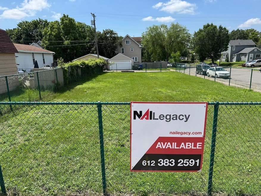
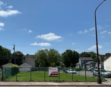
Great opportunity to develop a Commercial Corner lot on a a major corridor in St Paul. The property is currently fenced in with a 6' chain link fence. 7th Street East is currently having major development activity in light industrial and housing over the past ten years. Zoned T2.
Easy to get too, two blocks west of Johnson Parkway or ten minutes east of downtown St Paul.
| Date | Type | Sale Price | Title Company |
|---|---|---|---|
| Warranty Deed | $70,000 | Cambria Title | |
| Commissioners Deed | -- | -- | |
| Warranty Deed | $22,000 | None Available |
| Date | Event | Price | List to Sale | Price per Sq Ft |
|---|---|---|---|---|
| 09/10/2025 09/10/25 | Sold | $70,000 | 0.0% | -- |
| 08/26/2025 08/26/25 | Pending | -- | -- | -- |
| 06/14/2025 06/14/25 | For Sale | $70,000 | -- | -- |
| Year | Tax Paid | Tax Assessment Tax Assessment Total Assessment is a certain percentage of the fair market value that is determined by local assessors to be the total taxable value of land and additions on the property. | Land | Improvement |
|---|---|---|---|---|
| 2025 | $1,244 | $58,500 | $58,500 | -- |
| 2023 | $1,244 | $58,500 | $58,500 | -- |
| 2022 | $1,322 | $58,500 | $58,500 | $0 |
| 2021 | $1,308 | $58,500 | $58,500 | $0 |
| 2020 | $1,638 | $58,500 | $58,500 | $0 |
| 2019 | $1,634 | $58,500 | $58,500 | $0 |
| 2018 | $1,858 | $58,500 | $58,500 | $0 |
| 2017 | $3,278 | $58,500 | $58,500 | $0 |
| 2016 | $3,300 | $0 | $0 | $0 |
| 2015 | $2,388 | $58,500 | $58,500 | $0 |
| 2014 | -- | $0 | $0 | $0 |
Seller's Agent in 2025
Chuck Hanna
Piche & Associates Real Estate
(651) 340-5027
1 in this area
1 Total Sale
Source: NorthstarMLS
MLS Number: 6739726
APN: 28-29-22-44-0218
Disclaimer: Certain information contained herein is derived from information provided by parties other than Homes.com. All information provided is deemed reliable, but is not guaranteed to be accurate and should be independently verified.
![]() Based on information submitted to the MLS GRID. All data is obtained from various sources and may not have been verified by broker or MLS GRID. Supplied Open House Information is subject to change without notice. All information should be independently reviewed and verified for accuracy. Properties may or may not be listed by the office/agent presenting the information. Some IDX listings have been excluded from this website.
Based on information submitted to the MLS GRID. All data is obtained from various sources and may not have been verified by broker or MLS GRID. Supplied Open House Information is subject to change without notice. All information should be independently reviewed and verified for accuracy. Properties may or may not be listed by the office/agent presenting the information. Some IDX listings have been excluded from this website.
Based on information submitted to the MLS GRID
Ask me questions while you tour the home.