1181 Webster Ln Dillon, MT 59725
Estimated Value: $396,301 - $458,000
3
Beds
1
Bath
1,560
Sq Ft
$278/Sq Ft
Est. Value
About This Home
This home is located at 1181 Webster Ln, Dillon, MT 59725 and is currently estimated at $433,325, approximately $277 per square foot. 1181 Webster Ln is a home located in Beaverhead County with nearby schools including Parkview School, Dillon Middle School, and Beaverhead Co High School.
Ownership History
Date
Name
Owned For
Owner Type
Purchase Details
Closed on
Aug 31, 2015
Sold by
Monarch Limited Llc
Bought by
Westerbuhr Matt Daniel and Westerbuhr Elizabeth Inger
Current Estimated Value
Home Financials for this Owner
Home Financials are based on the most recent Mortgage that was taken out on this home.
Original Mortgage
$191,836
Outstanding Balance
$150,569
Interest Rate
4.05%
Mortgage Type
New Conventional
Estimated Equity
$282,756
Purchase Details
Closed on
Aug 24, 2006
Sold by
Probst Joan S
Bought by
Probst Michael E
Purchase Details
Closed on
Jun 26, 2006
Sold by
Probst Michael E
Bought by
Probst Joan S
Purchase Details
Closed on
May 30, 2006
Sold by
Arrow Land & Livestock Inc
Bought by
Probst Michael E and Probst Joan S
Create a Home Valuation Report for This Property
The Home Valuation Report is an in-depth analysis detailing your home's value as well as a comparison with similar homes in the area
Purchase History
| Date | Buyer | Sale Price | Title Company |
|---|---|---|---|
| Westerbuhr Matt Daniel | -- | First American Title Company | |
| Probst Michael E | -- | None Available | |
| Probst Joan S | -- | None Available | |
| Probst Michael E | -- | Southern Montana Abstract | |
| Probst Michael E | -- | Southern Montana Abstract |
Source: Public Records
Mortgage History
| Date | Status | Borrower | Loan Amount |
|---|---|---|---|
| Open | Westerbuhr Matt Daniel | $191,836 |
Source: Public Records
Tax History
| Year | Tax Paid | Tax Assessment Tax Assessment Total Assessment is a certain percentage of the fair market value that is determined by local assessors to be the total taxable value of land and additions on the property. | Land | Improvement |
|---|---|---|---|---|
| 2025 | $1,556 | $363,300 | $0 | $0 |
| 2024 | $2,083 | $313,400 | $0 | $0 |
| 2023 | $2,100 | $313,400 | $0 | $0 |
| 2022 | $1,790 | $214,300 | $0 | $0 |
| 2021 | $1,719 | $214,300 | $0 | $0 |
| 2020 | $1,671 | $195,600 | $0 | $0 |
| 2019 | $1,651 | $195,600 | $0 | $0 |
| 2018 | $1,562 | $187,700 | $0 | $0 |
| 2017 | -- | $187,700 | $0 | $0 |
| 2016 | -- | $168,500 | $0 | $0 |
| 2015 | -- | $168,500 | $0 | $0 |
| 2014 | -- | $99,852 | $0 | $0 |
Source: Public Records
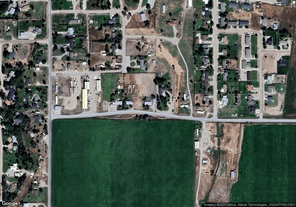
Map
Nearby Homes
- 15 Wendy Ln
- 1335 Cattle Dr
- 355 Buffalo Dr
- 1390 Cattle Dr
- 500 Arrigoni Ln
- 250 Pioneer Dr
- 467 Taylor Dr
- 650 Frying Pan Rd
- 335 Expedition Dr
- 190 Tenderfoot Trail
- 710 Gamblers Run
- 23 Sunrise St
- 355 Meriwether Ln
- 9 Skihi St
- 43 Tobacco Root Rd
- 31 Tobacco Root Rd
- 343 N Montana St
- 1325 Lovers Leap Rd
- 130 Thomas Way
- 92 Thomas Way
Your Personal Tour Guide
Ask me questions while you tour the home.