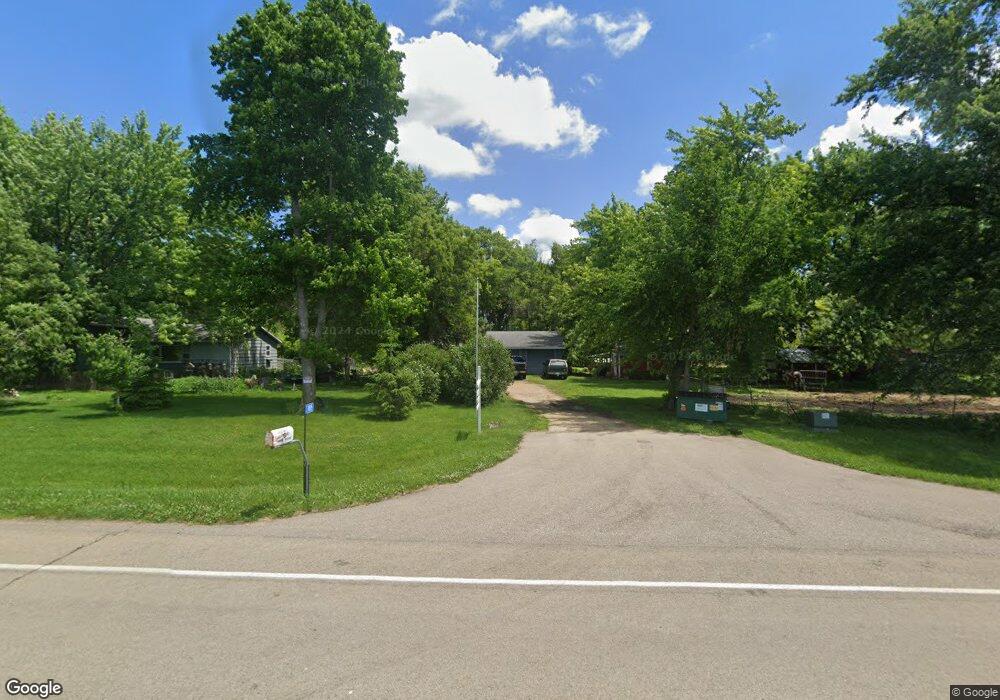
11815 550th Ave Mapleton, MN 56065
Estimated Value: $263,000 - $344,000
4
Beds
2
Baths
1,218
Sq Ft
$258/Sq Ft
Est. Value
About This Home
This home is located at 11815 550th Ave, Mapleton, MN 56065 and is currently estimated at $314,398, approximately $258 per square foot. 11815 550th Ave is a home located in Blue Earth County with nearby schools including Maple River Secondary School.
Ownership History
Date
Name
Owned For
Owner Type
Purchase Details
Closed on
Nov 6, 2014
Sold by
Jackson Hazel D and Jackson Allen
Bought by
Blue Earth County
Current Estimated Value
Purchase Details
Closed on
Oct 21, 2011
Sold by
Smith Beverly A
Bought by
Turner Lana L and Jackson Hazel D
Home Financials for this Owner
Home Financials are based on the most recent Mortgage that was taken out on this home.
Original Mortgage
$150,160
Interest Rate
4.12%
Mortgage Type
VA
Create a Home Valuation Report for This Property
The Home Valuation Report is an in-depth analysis detailing your home's value as well as a comparison with similar homes in the area
Purchase History
| Date | Buyer | Sale Price | Title Company |
|---|---|---|---|
| Blue Earth County | $9,500 | -- | |
| Turner Lana L | $189,900 | -- |
Source: Public Records
Mortgage History
| Date | Status | Borrower | Loan Amount |
|---|---|---|---|
| Previous Owner | Turner Lana L | $150,160 |
Source: Public Records
Tax History
| Year | Tax Paid | Tax Assessment Tax Assessment Total Assessment is a certain percentage of the fair market value that is determined by local assessors to be the total taxable value of land and additions on the property. | Land | Improvement |
|---|---|---|---|---|
| 2025 | $1,988 | $279,800 | $69,700 | $210,100 |
| 2024 | $1,988 | $252,100 | $69,700 | $182,400 |
| 2023 | $2,050 | $257,600 | $69,700 | $187,900 |
| 2022 | $1,884 | $230,700 | $69,700 | $161,000 |
| 2021 | $1,820 | $190,600 | $69,700 | $120,900 |
| 2020 | $1,272 | $181,000 | $58,100 | $122,900 |
| 2019 | $1,168 | $181,000 | $58,100 | $122,900 |
| 2018 | $1,040 | $162,300 | $58,100 | $104,200 |
| 2017 | $1,050 | $150,600 | $58,100 | $92,500 |
| 2016 | $1,004 | $147,300 | $58,100 | $89,200 |
| 2015 | $9 | $141,100 | $60,000 | $81,100 |
| 2014 | $1,138 | $141,200 | $60,000 | $81,200 |
Source: Public Records
Map
Nearby Homes
- 55997 132nd St
- 340 2nd Ave S
- 103 Calm Ct SW
- 204 Central Ave N
- 15135 550th Ave Unit 15135 550th Ave
- 510 4th Ave SE
- 206 3rd Ave SE
- 411 4th Ave SE
- 205 3rd Ave SE
- 505 Grove St SE
- 606 Smith St NE
- 217 S Houk St
- 16225 563rd Ave
- 16280 552nd Ave
- TBD T-91
- 0 430th Ave
- 235 Cleveland Ave E
- 240 Cleveland Ave W
- 203 2nd St SW
- 426 1st Ave SW
- 11522 550th Ave
- 55287 119th St
- 55005 121st St
- 55003 121st St
- 55003 121st St
- 12110 552nd Ln
- 55174 121st St
- 55006 121st St
- 12157 550th Ave
- 12157 550th Ave Unit 12157 550th Avenue
- 54803 121st St
- 12189 552nd Ln
- 12152 552nd Ln
- 12165 550th Ave
- 12173 551st Ln
- 12205 550th Ave
- 55456 119th St
- 55366 119th St
- 55085 113th St
Your Personal Tour Guide
Ask me questions while you tour the home.