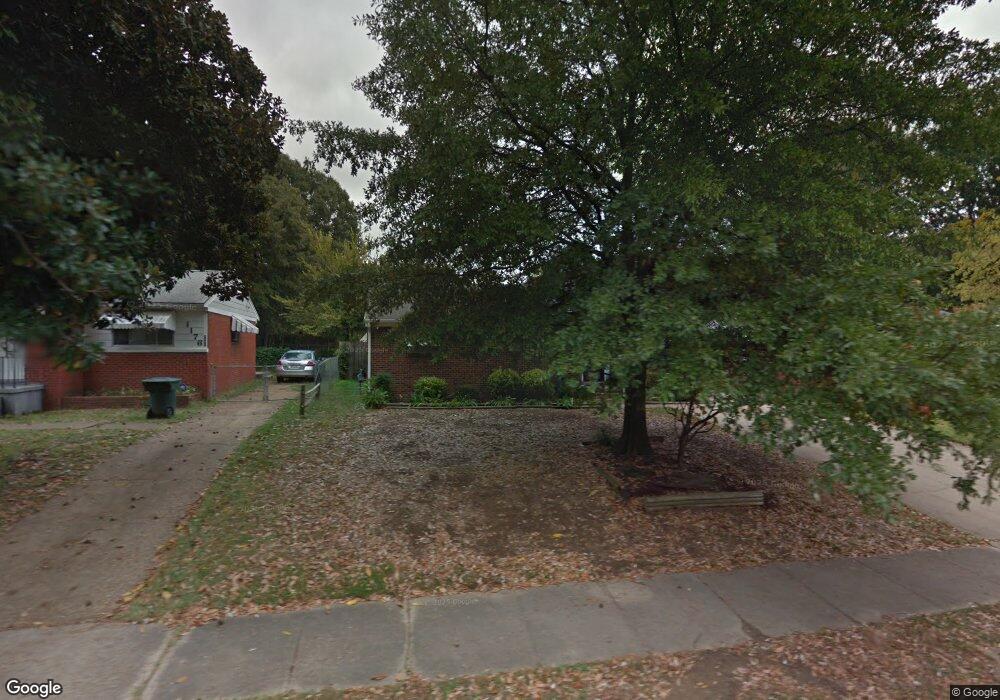
1182 S White Station Rd Memphis, TN 38117
Colonial Acres NeighborhoodEstimated Value: $179,000 - $208,000
3
Beds
1
Bath
1,593
Sq Ft
$126/Sq Ft
Est. Value
About This Home
This home is located at 1182 S White Station Rd, Memphis, TN 38117 and is currently estimated at $200,100, approximately $125 per square foot. 1182 S White Station Rd is a home located in Shelby County with nearby schools including Sea Isle Elementary School, Colonial Middle, and Overton High.
Ownership History
Date
Name
Owned For
Owner Type
Purchase Details
Closed on
Mar 30, 2005
Sold by
Cole Howard R and Cole Wanda M
Bought by
Shipp Marquita
Current Estimated Value
Home Financials for this Owner
Home Financials are based on the most recent Mortgage that was taken out on this home.
Original Mortgage
$93,100
Outstanding Balance
$57,223
Interest Rate
8.87%
Mortgage Type
Fannie Mae Freddie Mac
Estimated Equity
$142,877
Purchase Details
Closed on
Aug 22, 1996
Sold by
Cole Howard R
Bought by
Cole Howard R and Cole Wanda M
Home Financials for this Owner
Home Financials are based on the most recent Mortgage that was taken out on this home.
Original Mortgage
$42,585
Interest Rate
8.17%
Mortgage Type
FHA
Create a Home Valuation Report for This Property
The Home Valuation Report is an in-depth analysis detailing your home's value as well as a comparison with similar homes in the area
Home Values in the Area
Average Home Value in this Area
Purchase History
| Date | Buyer | Sale Price | Title Company |
|---|---|---|---|
| Shipp Marquita | $98,000 | -- | |
| Cole Howard R | -- | Chicago Title Insurance Co |
Source: Public Records
Mortgage History
| Date | Status | Borrower | Loan Amount |
|---|---|---|---|
| Open | Shipp Marquita | $93,100 | |
| Previous Owner | Cole Howard R | $42,585 |
Source: Public Records
Tax History Compared to Growth
Tax History
| Year | Tax Paid | Tax Assessment Tax Assessment Total Assessment is a certain percentage of the fair market value that is determined by local assessors to be the total taxable value of land and additions on the property. | Land | Improvement |
|---|---|---|---|---|
| 2025 | $1,182 | $50,375 | $10,125 | $40,250 |
| 2024 | $1,182 | $34,875 | $6,350 | $28,525 |
| 2023 | $2,124 | $34,875 | $6,350 | $28,525 |
| 2022 | $2,124 | $34,875 | $6,350 | $28,525 |
| 2021 | $2,149 | $34,875 | $6,350 | $28,525 |
| 2020 | $2,031 | $28,025 | $6,350 | $21,675 |
| 2019 | $2,031 | $28,025 | $6,350 | $21,675 |
| 2018 | $2,031 | $28,025 | $6,350 | $21,675 |
| 2017 | $1,152 | $28,025 | $6,350 | $21,675 |
| 2016 | $1,150 | $26,325 | $0 | $0 |
| 2014 | $1,150 | $26,325 | $0 | $0 |
Source: Public Records
Map
Nearby Homes
- 1232 S White Station Rd
- 5076 Dee Rd
- 5067 Wingdale Rd
- 5055 Wingdale Rd
- 5255 Seneca Ave
- 1292 S White Station Rd
- 5050 New Castle Rd
- 1065 S White Station Rd
- 5286 Seneca Ave
- 5283 Dee Rd
- 1130 Wheaton St
- 5287 Seneca Ave
- 5032 Edenshire Ave
- 1321 Wilbec Rd
- 1340 S White Station Rd
- 1022 S White Station Rd
- 5265 Welchshire Ave
- 1190 Estate Dr
- 4944 Mockingbird Ln
- 1090 Estate Dr
- 1188 S White Station Rd
- 1176 S White Station Rd
- 1196 S White Station Rd
- 1183 Wellsville Rd
- 1189 Wellsville Rd
- 1168 S White Station Rd
- 5151 Dee Rd
- 1177 Wellsville Rd
- 1202 S White Station Rd
- 1181 S White Station Rd
- 5163 Dee Rd
- 1201 Wellsville Rd
- 1175 S White Station Rd
- 1187 S White Station Rd
- 1208 S White Station Rd
- 5125 Dee Rd
- 1195 S White Station Rd
- 1207 Wellsville Rd
- 1214 S White Station Rd