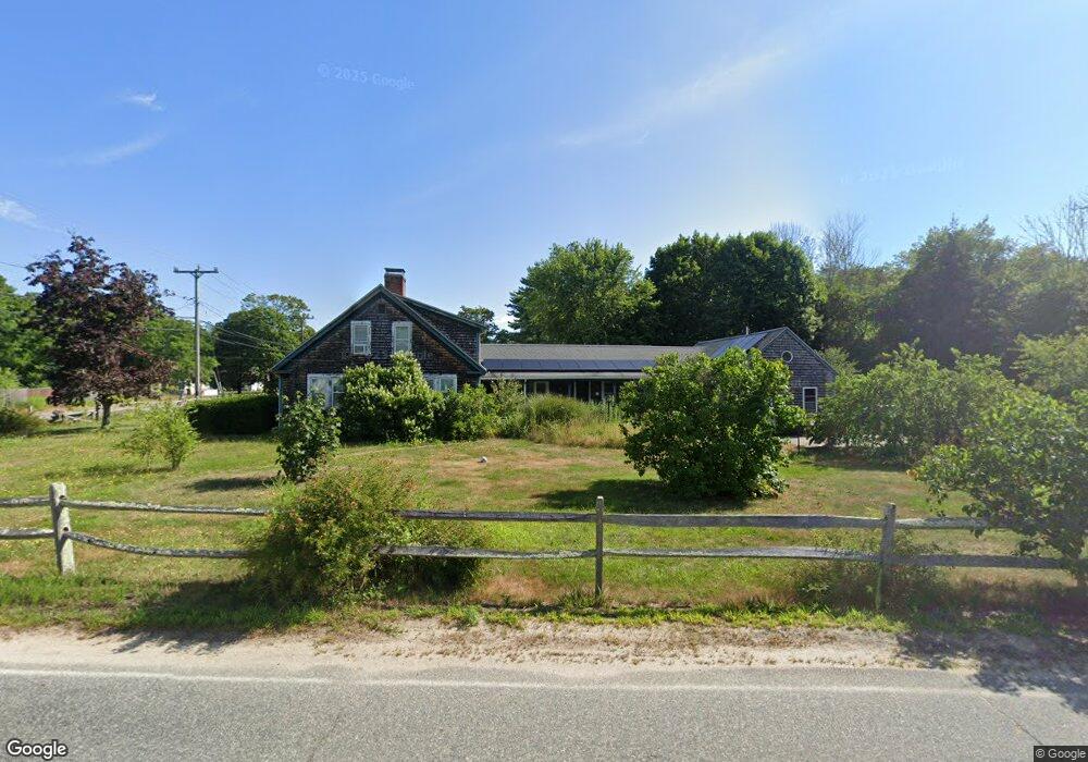
1185 Main St West Wareham, MA 02576
Estimated Value: $595,180 - $723,000
4
Beds
2
Baths
2,410
Sq Ft
$265/Sq Ft
Est. Value
About This Home
This home is located at 1185 Main St, West Wareham, MA 02576 and is currently estimated at $638,295, approximately $264 per square foot. 1185 Main St is a home located in Plymouth County.
Ownership History
Date
Name
Owned For
Owner Type
Purchase Details
Closed on
Aug 17, 2007
Sold by
Arnold Deborah M
Bought by
Hartshorn Mark E and Hartshorn Priscilla M
Current Estimated Value
Home Financials for this Owner
Home Financials are based on the most recent Mortgage that was taken out on this home.
Original Mortgage
$340,000
Outstanding Balance
$215,381
Interest Rate
6.67%
Mortgage Type
Purchase Money Mortgage
Estimated Equity
$422,914
Purchase Details
Closed on
Nov 16, 2000
Sold by
Mossey Richard and Willdigg Cheryl M
Bought by
Arnold Deborah M
Purchase Details
Closed on
Mar 4, 1994
Sold by
Bank Of America Nt&Sa
Bought by
Willdigg Cherly M and Mossey Richard
Purchase Details
Closed on
Jun 17, 1993
Sold by
Scully Robert M
Bought by
Bank Of America Nt&Sa
Create a Home Valuation Report for This Property
The Home Valuation Report is an in-depth analysis detailing your home's value as well as a comparison with similar homes in the area
Home Values in the Area
Average Home Value in this Area
Purchase History
| Date | Buyer | Sale Price | Title Company |
|---|---|---|---|
| Hartshorn Mark E | $365,000 | -- | |
| Hartshorn Mark E | $365,000 | -- | |
| Arnold Deborah M | $175,000 | -- | |
| Arnold Deborah M | $175,000 | -- | |
| Willdigg Cherly M | $100,000 | -- | |
| Willdigg Cherly M | $100,000 | -- | |
| Bank Of America Nt&Sa | $166,776 | -- | |
| Bank Of America Nt & Sa | $166,776 | -- |
Source: Public Records
Mortgage History
| Date | Status | Borrower | Loan Amount |
|---|---|---|---|
| Open | Bank Of America Nt & Sa | $340,000 | |
| Closed | Bank Of America Nt & Sa | $340,000 |
Source: Public Records
Tax History
| Year | Tax Paid | Tax Assessment Tax Assessment Total Assessment is a certain percentage of the fair market value that is determined by local assessors to be the total taxable value of land and additions on the property. | Land | Improvement |
|---|---|---|---|---|
| 2025 | $5,113 | $490,700 | $125,500 | $365,200 |
| 2024 | $5,306 | $472,500 | $100,700 | $371,800 |
| 2023 | $4,597 | $418,100 | $91,500 | $326,600 |
| 2022 | $4,597 | $348,800 | $91,500 | $257,300 |
| 2021 | $4,527 | $336,600 | $91,500 | $245,100 |
| 2020 | $4,300 | $324,300 | $91,500 | $232,800 |
| 2019 | $4,022 | $302,600 | $96,800 | $205,800 |
| 2018 | $3,716 | $272,600 | $96,800 | $175,800 |
| 2017 | $3,566 | $265,100 | $96,800 | $168,300 |
| 2016 | $3,500 | $258,700 | $101,600 | $157,100 |
| 2015 | $3,381 | $258,700 | $101,600 | $157,100 |
| 2014 | $3,265 | $254,100 | $96,600 | $157,500 |
Source: Public Records
Map
Nearby Homes
Your Personal Tour Guide
Ask me questions while you tour the home.