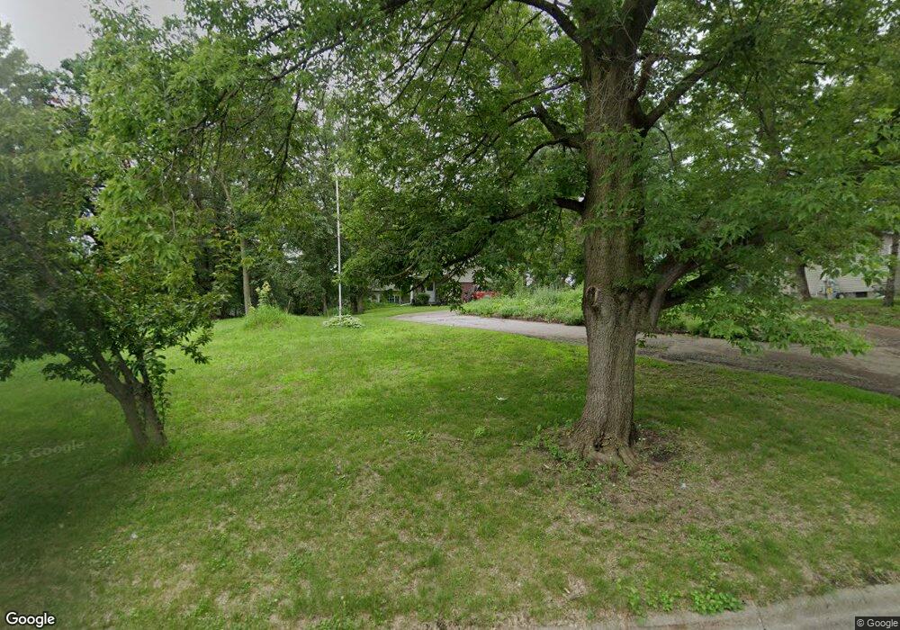
1185 Porter St Clearwater, MN 55320
Estimated Value: $288,000 - $361,000
3
Beds
2
Baths
1,043
Sq Ft
$301/Sq Ft
Est. Value
About This Home
This home is located at 1185 Porter St, Clearwater, MN 55320 and is currently estimated at $313,450, approximately $300 per square foot. 1185 Porter St is a home located in Wright County with nearby schools including Clearview Elementary School and South Junior High School.
Ownership History
Date
Name
Owned For
Owner Type
Purchase Details
Closed on
Sep 21, 2018
Sold by
Dahlin Lloyd S and Dahlin Linda A
Bought by
Suckert Kaitlyn M
Current Estimated Value
Home Financials for this Owner
Home Financials are based on the most recent Mortgage that was taken out on this home.
Original Mortgage
$179,150
Outstanding Balance
$155,908
Interest Rate
4.5%
Mortgage Type
New Conventional
Estimated Equity
$157,542
Purchase Details
Closed on
Sep 17, 2007
Sold by
Hurrle Shelly R and Hurrley Thomas
Bought by
Dahlin Lloyd S and Dahlin Linda A
Create a Home Valuation Report for This Property
The Home Valuation Report is an in-depth analysis detailing your home's value as well as a comparison with similar homes in the area
Home Values in the Area
Average Home Value in this Area
Purchase History
| Date | Buyer | Sale Price | Title Company |
|---|---|---|---|
| Suckert Kaitlyn M | $195,000 | First American Title Ins Co | |
| Dahlin Lloyd S | $189,000 | -- |
Source: Public Records
Mortgage History
| Date | Status | Borrower | Loan Amount |
|---|---|---|---|
| Open | Suckert Kaitlyn M | $179,150 |
Source: Public Records
Tax History Compared to Growth
Tax History
| Year | Tax Paid | Tax Assessment Tax Assessment Total Assessment is a certain percentage of the fair market value that is determined by local assessors to be the total taxable value of land and additions on the property. | Land | Improvement |
|---|---|---|---|---|
| 2025 | $4,470 | $271,400 | $36,000 | $235,400 |
| 2024 | $4,448 | $270,700 | $36,000 | $234,700 |
| 2023 | $3,522 | $275,800 | $36,000 | $239,800 |
| 2022 | $2,870 | $251,800 | $31,000 | $220,800 |
| 2021 | $2,632 | $211,400 | $31,000 | $180,400 |
| 2020 | $2,684 | $196,700 | $31,000 | $165,700 |
| 2019 | $2,576 | $193,300 | $0 | $0 |
| 2018 | $2,450 | $166,800 | $0 | $0 |
| 2017 | $2,338 | $157,800 | $0 | $0 |
| 2016 | $2,162 | $0 | $0 | $0 |
| 2015 | $2,096 | $0 | $0 | $0 |
| 2014 | -- | $0 | $0 | $0 |
Source: Public Records
Map
Nearby Homes
- 146 Bluebird Ln
- 229 Goldfinch Ln
- 132 Goldfinch Ln
- 108 Goldfinch Ln
- 131 Goldfinch Ln
- 97 Goldfinch Ln
- 680 8th St
- 6099 106th St SE
- 830 10th St
- 615 Juliet Ave
- XXX Huber Ave NW
- 440 Lime St
- 440 Prairie St
- TBD Bluff St
- XX Xx Hwy 24
- 400 Prairie St
- 4XX Prairie St
- 535 10th St
- 210XX County Road 75
- 21XXX County Road 75
