11855 Daley Cir Parker, CO 80134
Estimated Value: $1,194,000 - $1,909,000
5
Beds
4
Baths
3,602
Sq Ft
$406/Sq Ft
Est. Value
About This Home
This home is located at 11855 Daley Cir, Parker, CO 80134 and is currently estimated at $1,463,786, approximately $406 per square foot. 11855 Daley Cir is a home located in Douglas County with nearby schools including Mountain View Elementary School, Northeast Elementary School, and Sagewood Middle School.
Ownership History
Date
Name
Owned For
Owner Type
Purchase Details
Closed on
Oct 31, 2005
Sold by
Schoettler Gail S and Stevens Donald L
Bought by
Double S Partnership Lllp
Current Estimated Value
Purchase Details
Closed on
Mar 22, 1993
Sold by
Schoettler Gail S
Bought by
Schoettler Gail S and Stevens Donald L
Purchase Details
Closed on
Feb 21, 1989
Sold by
Schoettler John H
Bought by
Schoettler Gail S
Purchase Details
Closed on
Mar 31, 1975
Sold by
Larson Atlee L
Bought by
Schoettler John H and Schoettler Gail S
Create a Home Valuation Report for This Property
The Home Valuation Report is an in-depth analysis detailing your home's value as well as a comparison with similar homes in the area
Home Values in the Area
Average Home Value in this Area
Purchase History
| Date | Buyer | Sale Price | Title Company |
|---|---|---|---|
| Double S Partnership Lllp | -- | -- | |
| The Schoettler Family Partnership Lllp | -- | -- | |
| Schoettler Gail S | -- | -- | |
| Schoettler Gail S | -- | -- | |
| Schoettler John H | $36,000 | -- |
Source: Public Records
Tax History Compared to Growth
Tax History
| Year | Tax Paid | Tax Assessment Tax Assessment Total Assessment is a certain percentage of the fair market value that is determined by local assessors to be the total taxable value of land and additions on the property. | Land | Improvement |
|---|---|---|---|---|
| 2024 | $6,858 | $89,960 | $41,480 | $48,480 |
| 2023 | $6,934 | $89,960 | $41,480 | $48,480 |
| 2022 | $4,812 | $64,420 | $32,680 | $31,740 |
| 2021 | $4,988 | $64,420 | $32,680 | $31,740 |
| 2020 | $5,002 | $66,140 | $29,860 | $36,280 |
| 2019 | $5,026 | $66,140 | $29,860 | $36,280 |
| 2018 | $4,434 | $58,340 | $31,980 | $26,360 |
| 2017 | $4,128 | $58,340 | $31,980 | $26,360 |
| 2016 | $4,050 | $57,140 | $31,010 | $26,130 |
| 2015 | $4,142 | $57,140 | $31,010 | $26,130 |
| 2014 | $4,274 | $55,400 | $31,010 | $24,390 |
Source: Public Records
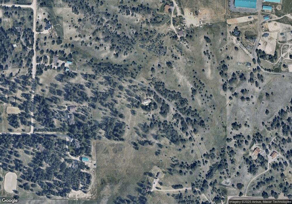
Map
Nearby Homes
- 11421 Random Valley Cir
- 5126 Freddys Trail
- 10914 Remmick Ridge Rd
- 10421 Remmick Ridge Rd
- 5622 Freddys Trail
- SuperHome Plan at Independence - The Grand Collection
- Aspen Plan at Independence - The Grand Collection
- Stonehaven Plan at Independence - The Grand Collection
- 294 Panorama Dr
- 39638 Yorktown Terrace
- 39628 Yorktown Terrace
- Parklane Plan at Independence
- Manzanita Plan at Independence
- Brownstone Plan at Independence
- Brinnon II Plan at Independence
- Quincy Plan at Independence
- Pathmaker Plan at Independence
- 39732 Penn Rd
- Pinnacle Plan at Independence - The Pioneer Collection
- Tabor Plan at Independence - The Pioneer Collection
- 11204 Random Valley Cir
- 11236 Random Valley Cir
- 11198 Random Valley Cir
- 11583 Daley Cir
- 11890 Hilltop Rd
- 11264 Random Valley Cir
- 11182 Random Valley Cir
- 11296 Random Valley Cir
- 11312 Random Valley Cir
- 11275 Random Valley Cir
- 11225 Random Valley Cir
- 11320 Random Valley Cir
- 11341 Random Valley Cir
- 11675 Daley Cir
- 11115 Daley Cir
- 11356 Random Valley Cir
- 11326 Random Valley Cir
- 11116 Random Valley Cir
- 11060 Random Valley Cir
- 11351 Random Valley Cir