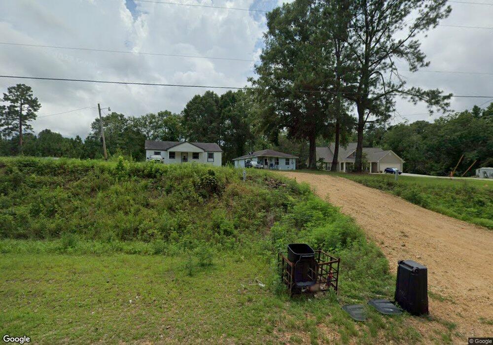
1186 Fernwood Rd McComb, MS 39648
Estimated Value: $111,000 - $184,190
--
Bed
--
Bath
1,199
Sq Ft
$128/Sq Ft
Est. Value
About This Home
This home is located at 1186 Fernwood Rd, McComb, MS 39648 and is currently estimated at $153,397, approximately $127 per square foot. 1186 Fernwood Rd is a home with nearby schools including Eva Gordon Lower Elementary School, Osyka Elementary School, and South Pike Junior High School.
Ownership History
Date
Name
Owned For
Owner Type
Purchase Details
Closed on
May 17, 2021
Sold by
Tobias Dennis Elroy
Bought by
Jennings Joyce M
Current Estimated Value
Home Financials for this Owner
Home Financials are based on the most recent Mortgage that was taken out on this home.
Original Mortgage
$44,000
Outstanding Balance
$5,491
Interest Rate
3.1%
Mortgage Type
Purchase Money Mortgage
Estimated Equity
$147,906
Purchase Details
Closed on
Mar 3, 2008
Sold by
Tobias David
Bought by
Tobias Dennis Elroy
Create a Home Valuation Report for This Property
The Home Valuation Report is an in-depth analysis detailing your home's value as well as a comparison with similar homes in the area
Home Values in the Area
Average Home Value in this Area
Purchase History
| Date | Buyer | Sale Price | Title Company |
|---|---|---|---|
| Jennings Joyce M | -- | None Available | |
| Tobias Dennis Elroy | $36,515 | None Available |
Source: Public Records
Mortgage History
| Date | Status | Borrower | Loan Amount |
|---|---|---|---|
| Open | Jennings Joyce M | $44,000 |
Source: Public Records
Tax History Compared to Growth
Tax History
| Year | Tax Paid | Tax Assessment Tax Assessment Total Assessment is a certain percentage of the fair market value that is determined by local assessors to be the total taxable value of land and additions on the property. | Land | Improvement |
|---|---|---|---|---|
| 2025 | $1,764 | $15,834 | $0 | $0 |
| 2024 | $1,764 | $13,693 | $0 | $0 |
| 2023 | $1,709 | $13,693 | $0 | $0 |
| 2022 | $1,690 | $13,693 | $0 | $0 |
| 2021 | $1,490 | $12,499 | $0 | $0 |
| 2020 | $1,559 | $12,775 | $0 | $0 |
| 2019 | $1,531 | $12,775 | $0 | $0 |
| 2018 | $1,498 | $12,775 | $0 | $0 |
| 2017 | $1,521 | $12,775 | $0 | $0 |
| 2016 | $1,520 | $12,775 | $0 | $0 |
| 2015 | -- | $12,476 | $0 | $0 |
| 2014 | -- | $12,476 | $0 | $0 |
| 2013 | -- | $12,476 | $0 | $0 |
Source: Public Records
Map
Nearby Homes
- ... Biltmore Dr
- 3092 Airport Fernwood Rd
- 1146 Union Church Rd
- 0 Quinlivan Rd
- 4115 Old Hwy 24
- 1002 Lawson Rd
- 1057 Joel Lang Rd
- 224 W Holly St
- 1090 Mallette Cir
- 455 Melvin O Harris St
- 102 W Myrtle St
- X Wild Estate
- 3110 U S 51
- 1009 Bell Haven Rd
- 000 I-55 Hwy
- 1122 Berthadale Rd
- 2159 Oakdale Rd
- 475 W Bay St
- xx Dudley Rimes Silver Dr
- 1074 Pleasant Grove Rd
- 1196 Fernwood Rd
- 1188 Fernwood Rd
- 1176 Fernwood Rd
- 1017 Mckenzie Rd
- 1170 Fernwood Rd
- 1160 Fernwood Rd
- 0 Fernwood Dr Unit BR2022016874
- 1158 Fernwood Rd
- 0 Rance Rd
- 1013 Blueberry Place
- 1019 Rance Rd
- 2021 Fernwood Rd
- 10112 Highway 98 E
- 1033 Rance Rd
- 1139 Fernwood Rd
- 1023 Rance Rd
- 1035 Rance Rd
- 001 Hodges Rd
- 000 Hodges Rd
- 1033 Mckenzie Rd