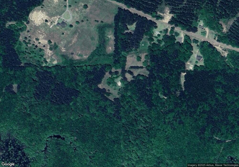
11891 Highway 19 N Philadelphia, MS 39350
Estimated Value: $74,669 - $197,000
--
Bed
--
Bath
923
Sq Ft
$149/Sq Ft
Est. Value
About This Home
This home is located at 11891 Highway 19 N, Philadelphia, MS 39350 and is currently estimated at $137,667, approximately $149 per square foot. 11891 Highway 19 N is a home.
Ownership History
Date
Name
Owned For
Owner Type
Purchase Details
Closed on
Dec 17, 2004
Sold by
Howell Marty Ruth Walker
Bought by
Gully David R and Abby Jan K
Current Estimated Value
Create a Home Valuation Report for This Property
The Home Valuation Report is an in-depth analysis detailing your home's value as well as a comparison with similar homes in the area
Home Values in the Area
Average Home Value in this Area
Purchase History
| Date | Buyer | Sale Price | Title Company |
|---|---|---|---|
| Gully David R | -- | -- |
Source: Public Records
Tax History Compared to Growth
Tax History
| Year | Tax Paid | Tax Assessment Tax Assessment Total Assessment is a certain percentage of the fair market value that is determined by local assessors to be the total taxable value of land and additions on the property. | Land | Improvement |
|---|---|---|---|---|
| 2025 | $318 | $2,970 | $0 | $0 |
| 2024 | $318 | $2,947 | $0 | $0 |
| 2023 | $310 | $2,790 | $0 | $0 |
| 2022 | $313 | $2,809 | $0 | $0 |
| 2021 | $316 | $2,832 | $0 | $0 |
| 2020 | $312 | $2,854 | $0 | $0 |
| 2019 | $307 | $2,791 | $0 | $0 |
| 2018 | $309 | $2,811 | $0 | $0 |
| 2017 | $301 | $2,791 | $0 | $0 |
| 2016 | $297 | $2,739 | $0 | $0 |
| 2015 | -- | $2,610 | $0 | $0 |
| 2014 | -- | $2,563 | $0 | $0 |
Source: Public Records
Map
Nearby Homes
- 10521 Road 393
- 0 Road 393 Unit 25-825
- 0 Road 393 Unit 25-826
- 0 Road 383
- 138 Plantation Point Dr N
- 1012 Kosciusko Rd
- 206 Woodbriar Ln
- 0 S Plantation Unit 25-813
- 0 S Plantation Unit 25-814
- 0 S Plantation Unit 25-812
- 103 Gateway Dr
- 904 Pecan Ave
- 0 Woodland Hills Dr
- 0 Country Ln
- 10251 Mississippi 395
- 736 Forest Park Cir
- 708 Forest Park Cir
- 738 Forest Park Cir
- 100 Highway 19
- 0 Mississippi 19