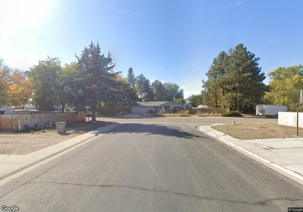
11898 W La Pan Dr Boise, ID 83709
Southwest Boise NeighborhoodEstimated Value: $530,000 - $576,000
3
Beds
3
Baths
1,896
Sq Ft
$291/Sq Ft
Est. Value
About This Home
This home is located at 11898 W La Pan Dr, Boise, ID 83709 and is currently estimated at $551,938, approximately $291 per square foot. 11898 W La Pan Dr is a home located in Ada County with nearby schools including Pepper Ridge Elementary, Lewis & Clark Middle School, and Centennial High School.
Ownership History
Date
Name
Owned For
Owner Type
Purchase Details
Closed on
Apr 27, 2011
Sold by
Fannie Mae
Bought by
Dumont Brandon J
Current Estimated Value
Home Financials for this Owner
Home Financials are based on the most recent Mortgage that was taken out on this home.
Original Mortgage
$130,603
Outstanding Balance
$90,091
Interest Rate
4.72%
Mortgage Type
FHA
Estimated Equity
$461,847
Purchase Details
Closed on
Feb 7, 2011
Sold by
Hume Michelle M and Hume Mark W
Bought by
Federal National Mortgage Association
Create a Home Valuation Report for This Property
The Home Valuation Report is an in-depth analysis detailing your home's value as well as a comparison with similar homes in the area
Home Values in the Area
Average Home Value in this Area
Purchase History
| Date | Buyer | Sale Price | Title Company |
|---|---|---|---|
| Dumont Brandon J | -- | Pioneer Title Company Of Ada | |
| Federal National Mortgage Association | $244,780 | Northwest Titl |
Source: Public Records
Mortgage History
| Date | Status | Borrower | Loan Amount |
|---|---|---|---|
| Open | Dumont Brandon J | $130,603 |
Source: Public Records
Tax History Compared to Growth
Tax History
| Year | Tax Paid | Tax Assessment Tax Assessment Total Assessment is a certain percentage of the fair market value that is determined by local assessors to be the total taxable value of land and additions on the property. | Land | Improvement |
|---|---|---|---|---|
| 2025 | $2,478 | $536,900 | -- | -- |
| 2024 | $2,174 | $500,000 | -- | -- |
| 2023 | $2,174 | $437,300 | $0 | $0 |
| 2022 | $2,855 | $548,100 | $0 | $0 |
| 2021 | $2,597 | $421,400 | $0 | $0 |
| 2020 | $2,244 | $325,300 | $0 | $0 |
| 2019 | $2,702 | $311,100 | $0 | $0 |
| 2018 | $2,162 | $252,300 | $0 | $0 |
| 2017 | $2,076 | $236,800 | $0 | $0 |
| 2016 | $2,076 | $228,200 | $0 | $0 |
| 2015 | $1,739 | $202,600 | $0 | $0 |
| 2012 | -- | $155,000 | $0 | $0 |
Source: Public Records
Map
Nearby Homes
- 11829 W Camas St
- 12152 W Lewisburg Ct
- 12410 W Lewisburg Dr
- 11899 W Blueberry Ct
- 11683 W Aldershot St
- 12158 W Silverking Ct
- 1132 S Amaya Ave
- 11225 W Camas St
- 681 S Kiser Ave
- 704 S Kiser Ave
- 4216 Woodmurra St
- 4202 Woodmurra St
- 4187 E Blueberry St
- 4498 E Goldstone Dr
- 4132 E Silverking Ln
- 10776 W Smoke Ranch Dr
- 2029 S Wilde Creek Way
- 3970 E Overland Rd
- 937 S Nautilus Ave
- 11085 W Bridgetower Dr
- 11898 La Pan Dr
- 11894 La Pan Dr
- 11922 La Pan Dr
- 11876 La Pan Dr
- 11885 W La Pan Dr
- 11885 La Pan Dr
- 11923 La Pan Dr
- 11954 La Pan Dr
- 11880 La Pan Dr
- 11890 La Pan Dr
- 11860 Florida Dr
- 11830 Florida Dr
- 11879 W Lewisburg Ct
- 11884 La Pan Dr
- 11917 W Lewisburg Ct
- 11904 Florida Dr
- 11830 W Florida Dr
- 11855 W Lewisburg Ct
- 11935 W Lewisburg Ct
- 11981 La Pan Dr