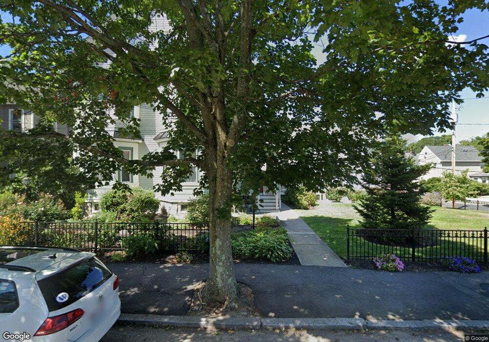
119 Adams St Unit 121 Waltham, MA 02453
South Side NeighborhoodEstimated Value: $1,217,000 - $1,951,867
--
Bed
3
Baths
--
Sq Ft
0.28
Acres
About This Home
This home is located at 119 Adams St Unit 121, Waltham, MA 02453 and is currently estimated at $1,521,622. 119 Adams St Unit 121 is a home located in Middlesex County with nearby schools including Henry Whittemore Elementary School, John W. Mcdevitt Middle School, and Waltham Sr High School.
Ownership History
Date
Name
Owned For
Owner Type
Purchase Details
Closed on
Mar 3, 2020
Sold by
Keith Ft 2012
Bought by
Keith Loxi and Keith Lorna
Current Estimated Value
Purchase Details
Closed on
Jan 8, 2013
Sold by
Keith Arthur C
Bought by
Keith Ft
Purchase Details
Closed on
Aug 1, 1975
Bought by
Keith Ft
Create a Home Valuation Report for This Property
The Home Valuation Report is an in-depth analysis detailing your home's value as well as a comparison with similar homes in the area
Home Values in the Area
Average Home Value in this Area
Purchase History
| Date | Buyer | Sale Price | Title Company |
|---|---|---|---|
| Keith Loxi | -- | None Available | |
| Keith Ft | -- | -- | |
| Keith Ft | -- | -- |
Source: Public Records
Mortgage History
| Date | Status | Borrower | Loan Amount |
|---|---|---|---|
| Previous Owner | Keith Ft | $50,000 |
Source: Public Records
Tax History Compared to Growth
Tax History
| Year | Tax Paid | Tax Assessment Tax Assessment Total Assessment is a certain percentage of the fair market value that is determined by local assessors to be the total taxable value of land and additions on the property. | Land | Improvement |
|---|---|---|---|---|
| 2025 | $16,073 | $1,636,800 | $427,200 | $1,209,600 |
| 2024 | $14,581 | $1,512,600 | $427,200 | $1,085,400 |
| 2023 | $14,833 | $1,437,300 | $389,200 | $1,048,100 |
| 2022 | $15,121 | $1,357,400 | $355,300 | $1,002,100 |
| 2021 | $14,499 | $1,280,800 | $321,500 | $959,300 |
| 2020 | $14,286 | $1,195,500 | $304,600 | $890,900 |
| 2019 | $12,831 | $1,013,500 | $301,500 | $712,000 |
| 2018 | $11,466 | $909,300 | $279,200 | $630,100 |
| 2017 | $11,102 | $883,900 | $253,800 | $630,100 |
| 2016 | $10,457 | $854,300 | $224,200 | $630,100 |
| 2015 | $9,669 | $736,400 | $220,000 | $516,400 |
Source: Public Records
Map
Nearby Homes
- 15 Alder St Unit 1
- 73 Orange St Unit 2
- 47 Alder St Unit 6
- 40 Myrtle St Unit 9
- 42 Alder St
- 85 Crescent St
- 61 Hall St Unit 1
- 61 Hall St Unit 9
- 61 Hall St Unit 2
- 61 Hall St Unit 7
- 31-37 Washington Ave
- 81 Alder St
- 55-57 Crescent St
- 11 Derby St
- 24 Tolman St Unit A
- 312 Newton St Unit 1A
- 138 Myrtle St Unit 2
- 308 Newton St Unit 1
- 162 Myrtle St Unit 1
- 39 Floyd St Unit 2
- 33 Cherry St Unit 2
- 33 Cherry St Unit 1
- 123 Adams St
- 107 Adams St
- 55 Cherry St (Top Flr Right Side) Unit 4
- 55 Cherry St (1st Flr Left Side) Unit 1
- 32 Ash St
- 32 Ash St Unit 2
- 49 Cherry St
- 53 Cherry St Unit 1
- 29 Cherry St Unit 3
- 29 Cherry St Unit 4
- 29 Cherry St Unit 1
- 122-124 Adams St Unit 124
- 122 Adams St Unit 124
- 122 Adams St Unit 122
- 128 Adams St Unit 2
- 50 Cherry St Unit 2
- 131 Adams St Unit 133
- 133 Adams St