119 Bluestone Dr Nashua, NH 03060
Southeast Nashua NeighborhoodEstimated Value: $300,873 - $345,000
2
Beds
1
Bath
920
Sq Ft
$342/Sq Ft
Est. Value
About This Home
This home is located at 119 Bluestone Dr, Nashua, NH 03060 and is currently estimated at $314,468, approximately $341 per square foot. 119 Bluestone Dr is a home located in Hillsborough County with nearby schools including Sunset Heights Elementary School, Elm Street Middle School, and Nashua High School South.
Ownership History
Date
Name
Owned For
Owner Type
Purchase Details
Closed on
May 27, 2004
Sold by
Peterson Alfred
Bought by
Snow Susan B
Current Estimated Value
Home Financials for this Owner
Home Financials are based on the most recent Mortgage that was taken out on this home.
Original Mortgage
$138,120
Outstanding Balance
$66,485
Interest Rate
5.88%
Mortgage Type
Purchase Money Mortgage
Estimated Equity
$247,983
Create a Home Valuation Report for This Property
The Home Valuation Report is an in-depth analysis detailing your home's value as well as a comparison with similar homes in the area
Home Values in the Area
Average Home Value in this Area
Purchase History
| Date | Buyer | Sale Price | Title Company |
|---|---|---|---|
| Snow Susan B | $141,300 | -- |
Source: Public Records
Mortgage History
| Date | Status | Borrower | Loan Amount |
|---|---|---|---|
| Open | Snow Susan B | $138,120 |
Source: Public Records
Tax History Compared to Growth
Tax History
| Year | Tax Paid | Tax Assessment Tax Assessment Total Assessment is a certain percentage of the fair market value that is determined by local assessors to be the total taxable value of land and additions on the property. | Land | Improvement |
|---|---|---|---|---|
| 2024 | $3,816 | $240,000 | $0 | $240,000 |
| 2023 | $4,133 | $226,700 | $0 | $226,700 |
| 2022 | $4,096 | $226,700 | $0 | $226,700 |
| 2021 | $2,886 | $124,300 | $0 | $124,300 |
| 2020 | $2,810 | $124,300 | $0 | $124,300 |
| 2019 | $2,705 | $124,300 | $0 | $124,300 |
| 2018 | $2,636 | $124,300 | $0 | $124,300 |
| 2017 | $2,455 | $95,200 | $0 | $95,200 |
| 2016 | $2,387 | $95,200 | $0 | $95,200 |
| 2015 | $2,335 | $95,200 | $0 | $95,200 |
| 2014 | $2,290 | $95,200 | $0 | $95,200 |
Source: Public Records
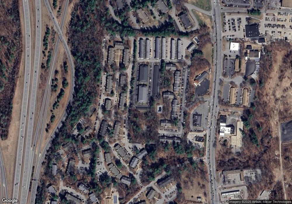
Map
Nearby Homes
- 92 Bluestone Dr
- 73 Bluestone Dr
- 4 Autumn Leaf Dr Unit 8
- 160 Daniel Webster Hwy Unit 328
- 210 Brook Village Rd Unit U43
- 210 Brook Village Rd Unit U38
- 125 Lille Rd
- 4 Heritage Village Dr Unit 211
- 54 Linton St
- 9 Byron Dr
- 2 Strawberry Bank Rd Unit 17
- 61 Spindlewick Dr
- 4 Strawberry Bank Rd Unit 1
- 4 Strawberry Bank Rd Unit 12
- 7 Saint James Place Unit 724
- 8 Saint James Place Unit U803
- 24 Shadwell Rd
- 29 Dickens St
- 84 Hawthorne Village Rd Unit U414
- 285 E Dunstable Rd
- 99 Bluestone Dr
- 99 Bluestone Dr Unit 99
- 99 Bluestone Dr Unit B
- 120 Bluestone Dr
- 117 Bluestone Dr
- 107 Bluestone Dr
- 110 Bluestone Dr
- 97 Bluestone Dr
- 118 Bluestone Dr
- 108 Bluestone Dr
- 108 Bluestone Dr
- 108 Bluestone Dr Unit 108
- 100 Bluestone Dr
- 98 Bluestone Dr
- 115 Bluestone Dr
- 105 Bluestone Dr
- 95 Bluestone Dr
- 116 Bluestone Dr
- 106 Bluestone Dr
- 96 Bluestone Dr