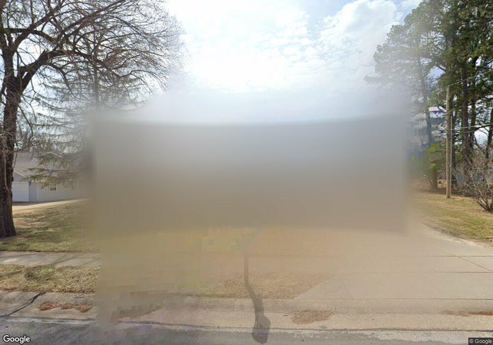
119 Brookside Ln Ballwin, MO 63021
Estimated Value: $268,068 - $325,000
3
Beds
1
Bath
1,128
Sq Ft
$266/Sq Ft
Est. Value
About This Home
This home is located at 119 Brookside Ln, Ballwin, MO 63021 and is currently estimated at $300,017, approximately $265 per square foot. 119 Brookside Ln is a home located in St. Louis County with nearby schools including Ballwin Elementary School, Selvidge Middle School, and Marquette Sr. High School.
Ownership History
Date
Name
Owned For
Owner Type
Purchase Details
Closed on
Feb 22, 2013
Sold by
Wirick Michael J and Hesse Tammy S
Bought by
Hesse Tammy S
Current Estimated Value
Home Financials for this Owner
Home Financials are based on the most recent Mortgage that was taken out on this home.
Original Mortgage
$172,320
Outstanding Balance
$120,238
Interest Rate
3.37%
Mortgage Type
FHA
Estimated Equity
$179,779
Purchase Details
Closed on
Mar 3, 1997
Sold by
Muse Shirley C
Bought by
Wirick Michael J and Wirick Tammy S
Home Financials for this Owner
Home Financials are based on the most recent Mortgage that was taken out on this home.
Original Mortgage
$105,113
Interest Rate
7.89%
Mortgage Type
FHA
Create a Home Valuation Report for This Property
The Home Valuation Report is an in-depth analysis detailing your home's value as well as a comparison with similar homes in the area
Home Values in the Area
Average Home Value in this Area
Purchase History
| Date | Buyer | Sale Price | Title Company |
|---|---|---|---|
| Hesse Tammy S | -- | Orntic St Louis | |
| Wirick Michael J | -- | -- |
Source: Public Records
Mortgage History
| Date | Status | Borrower | Loan Amount |
|---|---|---|---|
| Open | Hesse Tammy S | $172,320 | |
| Closed | Wirick Michael J | $105,113 |
Source: Public Records
Tax History
| Year | Tax Paid | Tax Assessment Tax Assessment Total Assessment is a certain percentage of the fair market value that is determined by local assessors to be the total taxable value of land and additions on the property. | Land | Improvement |
|---|---|---|---|---|
| 2025 | $3,442 | $52,440 | $29,070 | $23,370 |
| 2024 | $3,442 | $49,100 | $24,230 | $24,870 |
| 2023 | $3,439 | $49,100 | $24,230 | $24,870 |
| 2022 | $2,827 | $37,420 | $24,230 | $13,190 |
| 2021 | $2,807 | $37,420 | $24,230 | $13,190 |
| 2020 | $2,643 | $33,580 | $18,660 | $14,920 |
| 2019 | $2,654 | $33,580 | $18,660 | $14,920 |
| 2018 | $2,557 | $30,500 | $14,840 | $15,660 |
| 2017 | $2,497 | $30,500 | $14,840 | $15,660 |
| 2016 | $2,306 | $27,070 | $10,430 | $16,640 |
Source: Public Records
Map
Nearby Homes
- 429 Fairview Ct
- 275 Essen Ct Unit TBB
- 212 Lakeside Dr
- 313 Saint Lawrence Dr
- 3 Chappel Ct
- 312 Ballwin Ave
- 756 Alexander Mark Way
- 332 Remington Way Dr
- 408 Saint Lawrence Dr
- 401 Hillcrest Blvd
- 247 Ramsey Ln
- 729 Tuscan Valley Ct
- 798 Canary Dr
- 899 Oklahoma Ave
- 112 Shirley Ln
- 521 Kehrs Mill Rd
- 604 Nandale Ln
- 947 Bellestri Dr
- 533 Golfwood Dr
- 313 Brightfield Dr
- 121 Brookside Ln
- 220 Robin Hill Ln
- 218 Robin Hill Ln
- 222 Robin Hill Ln
- 120 Brookside Ln
- 125 Brookside Ln
- 118 Brookside Ln
- 133 Brookside Ln
- 129 Brookside Ln
- 224 Robin Hill Ln
- 214 Streiff Ct
- 216 Robin Hill Ln
- 213 Streiff Ct
- 124 Brookside Ln
- 217 Robin Hill Ln
- 219 Robin Hill Ln
- 126 Brookside Ln
- 215 Robin Hill Ln
- 128 Brookside Ln
- 221 Robin Hill Ln
Your Personal Tour Guide
Ask me questions while you tour the home.