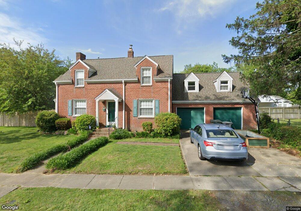
119 Chesterfield Rd Hampton, VA 23661
Wythe NeighborhoodEstimated Value: $267,000 - $314,000
4
Beds
2
Baths
1,842
Sq Ft
$157/Sq Ft
Est. Value
About This Home
This home is located at 119 Chesterfield Rd, Hampton, VA 23661 and is currently estimated at $289,129, approximately $156 per square foot. 119 Chesterfield Rd is a home located in Hampton City with nearby schools including Hunter B. Andrews PK-8 School, C. Alton Lindsay Middle School, and Hampton High School.
Ownership History
Date
Name
Owned For
Owner Type
Purchase Details
Closed on
Aug 20, 2001
Sold by
Browder Michael L
Bought by
James Parri G
Current Estimated Value
Home Financials for this Owner
Home Financials are based on the most recent Mortgage that was taken out on this home.
Original Mortgage
$100,900
Outstanding Balance
$38,178
Interest Rate
7.21%
Estimated Equity
$250,951
Create a Home Valuation Report for This Property
The Home Valuation Report is an in-depth analysis detailing your home's value as well as a comparison with similar homes in the area
Home Values in the Area
Average Home Value in this Area
Purchase History
| Date | Buyer | Sale Price | Title Company |
|---|---|---|---|
| James Parri G | $119,900 | -- |
Source: Public Records
Mortgage History
| Date | Status | Borrower | Loan Amount |
|---|---|---|---|
| Open | James Parri G | $100,900 |
Source: Public Records
Tax History
| Year | Tax Paid | Tax Assessment Tax Assessment Total Assessment is a certain percentage of the fair market value that is determined by local assessors to be the total taxable value of land and additions on the property. | Land | Improvement |
|---|---|---|---|---|
| 2025 | $2,827 | $241,800 | $71,400 | $170,400 |
| 2024 | $2,601 | $226,200 | $71,400 | $154,800 |
| 2023 | $2,717 | $222,000 | $67,200 | $154,800 |
| 2022 | $2,550 | $216,100 | $63,000 | $153,100 |
| 2021 | $2,476 | $189,200 | $52,500 | $136,700 |
| 2020 | $2,225 | $179,400 | $50,400 | $129,000 |
| 2019 | $2,208 | $178,100 | $50,400 | $127,700 |
| 2018 | $2,351 | $172,100 | $50,400 | $121,700 |
| 2017 | $2,228 | $0 | $0 | $0 |
| 2016 | $2,228 | $172,100 | $0 | $0 |
| 2015 | $2,475 | $0 | $0 | $0 |
| 2014 | $2,465 | $192,000 | $49,800 | $142,200 |
Source: Public Records
Map
Nearby Homes
- 119 Wythe Pkwy
- 138 Robinson Rd
- 135 Pochin Place
- 2915 Chesapeake Ave
- 1508 Chesapeake Ave
- 222 Wythe Pkwy
- 1506 Chesapeake Ave
- 254 Pocahontas Place
- 238 Pochin Place
- 89 Snug Harbor Dr
- 142 Clifton St
- 237 Piedmont Ave
- 2612 Winona Dr E
- 515 Pocahontas Place
- 512 Pocahontas Place
- 200 Claremont Ave
- 1705 Shell Rd
- 138 Hampton Roads Ave
- 606 Delaware Ave
- 332 Catalpa Ave
- 2309 Crescent Dr
- 2307 Crescent Dr
- 121 Chesterfield Rd
- 116 Chesterfield Rd
- 118 Chesterfield Rd
- 114 Chesterfield Rd
- 109 Chesterfield Rd
- 2305 Crescent Dr
- 123 Chesterfield Rd
- 112 Chesterfield Rd
- 122 Chesterfield Rd
- 107 Chesterfield Rd
- 125 Chesterfield Rd
- 120 Wythe Pkwy
- 108 Wythe Pkwy
- 124 Chesterfield Rd
- 2301 Crescent Dr
- 122 Wythe Pkwy
- 105 Chesterfield Rd
- 127 Chesterfield Rd
Your Personal Tour Guide
Ask me questions while you tour the home.