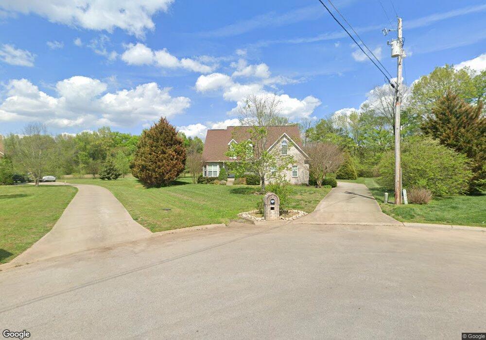
119 Leland Ct E Murfreesboro, TN 37128
Estimated Value: $551,572 - $685,000
--
Bed
3
Baths
2,617
Sq Ft
$239/Sq Ft
Est. Value
About This Home
This home is located at 119 Leland Ct E, Murfreesboro, TN 37128 and is currently estimated at $624,643, approximately $238 per square foot. 119 Leland Ct E is a home located in Rutherford County with nearby schools including Rockvale Elementary School, Rockvale Middle School, and Rockvale High School.
Ownership History
Date
Name
Owned For
Owner Type
Purchase Details
Closed on
Jul 31, 2009
Sold by
Rankin Jon R
Bought by
Melton Jacob R
Current Estimated Value
Home Financials for this Owner
Home Financials are based on the most recent Mortgage that was taken out on this home.
Original Mortgage
$273,946
Outstanding Balance
$179,069
Interest Rate
5.26%
Estimated Equity
$445,574
Purchase Details
Closed on
May 6, 2005
Sold by
Mkw Dev Co
Bought by
Rankin Jon R and Rankin Kathy
Home Financials for this Owner
Home Financials are based on the most recent Mortgage that was taken out on this home.
Original Mortgage
$233,838
Interest Rate
5.88%
Create a Home Valuation Report for This Property
The Home Valuation Report is an in-depth analysis detailing your home's value as well as a comparison with similar homes in the area
Home Values in the Area
Average Home Value in this Area
Purchase History
| Date | Buyer | Sale Price | Title Company |
|---|---|---|---|
| Melton Jacob R | $279,000 | -- | |
| Rankin Jon R | $292,298 | -- |
Source: Public Records
Mortgage History
| Date | Status | Borrower | Loan Amount |
|---|---|---|---|
| Open | Rankin Jon R | $273,946 | |
| Previous Owner | Rankin Jon R | $233,838 | |
| Previous Owner | Rankin Jon R | $43,844 |
Source: Public Records
Tax History Compared to Growth
Tax History
| Year | Tax Paid | Tax Assessment Tax Assessment Total Assessment is a certain percentage of the fair market value that is determined by local assessors to be the total taxable value of land and additions on the property. | Land | Improvement |
|---|---|---|---|---|
| 2025 | $2,098 | $111,825 | $14,250 | $97,575 |
| 2024 | $2,098 | $111,825 | $14,250 | $97,575 |
| 2023 | $2,098 | $111,825 | $14,250 | $97,575 |
| 2022 | $1,807 | $111,825 | $14,250 | $97,575 |
| 2021 | $1,687 | $76,025 | $14,250 | $61,775 |
| 2020 | $1,687 | $76,025 | $14,250 | $61,775 |
| 2019 | $1,687 | $76,025 | $14,250 | $61,775 |
| 2018 | $1,596 | $76,025 | $0 | $0 |
| 2017 | $1,816 | $67,750 | $0 | $0 |
| 2016 | $1,816 | $67,750 | $0 | $0 |
| 2015 | $1,816 | $67,750 | $0 | $0 |
| 2014 | $1,685 | $67,750 | $0 | $0 |
| 2013 | -- | $69,375 | $0 | $0 |
Source: Public Records
Map
Nearby Homes
- 3910 Rowland Rd
- 3904 Rowland Rd
- 2614 Holly Springs Dr
- 1405 Dawbarn Dr
- 2707 Holly Springs Dr
- 2707 Congress Dr
- 3814 Carriage Dr
- 2835 Canfield Dr
- 3909 Delzotto Dr
- 3925 Delzotto Dr
- 4008 Michelle St
- 4024 Tawnya Charles Ln
- 4013 Tawnya Charles Ln
- 4016 Tawnya Charles Ln
- 4009 Tawnya Charles Ln
- 4014 Clara Woods Way
- 4007 Clara Woods Way
- 128 Candice Ct
- 4019 Clara Woods Way
- 0 Darrell Dr
- 122 Leland Ct E
- 115 Leland Ct E
- 111 Leland Ct E
- 114 Leland Ct E
- 118 Leland Ct E
- 110 Leland Ct E
- 107 Leland Ct E
- 3918 Rowland Rd
- 3914 Rowland Rd
- 3912 Rowland Rd
- 3924 Rowland Rd
- 3928 Rowland Rd
- 2003 Leland Ct W
- 2004 Leland Ct W
- 3930 Rowland Rd
- 3911 Rowland Rd
- 3927 Rowland Rd
- 2007 Leland Ct W
- 3902 Rowland Rd
- 3907 Rowland Rd