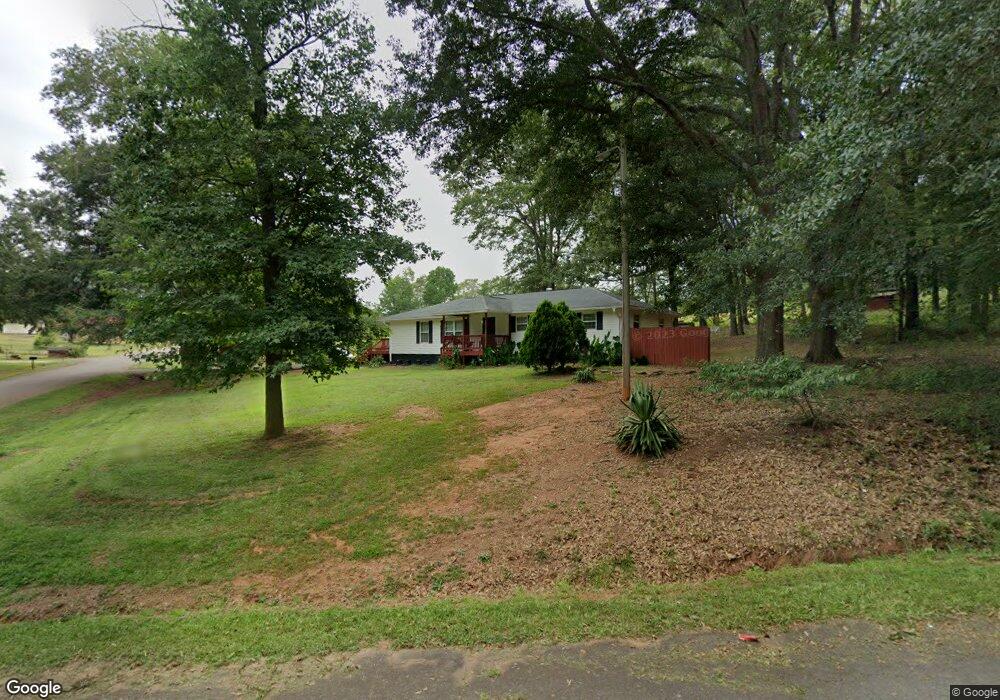
119 Lois Dr Anderson, SC 29624
Estimated Value: $129,000 - $239,000
3
Beds
--
Bath
1,549
Sq Ft
$113/Sq Ft
Est. Value
About This Home
This home is located at 119 Lois Dr, Anderson, SC 29624 and is currently estimated at $175,195, approximately $113 per square foot. 119 Lois Dr is a home located in Anderson County with nearby schools including Crescent High School.
Ownership History
Date
Name
Owned For
Owner Type
Purchase Details
Closed on
Sep 22, 2020
Sold by
Jones Inez P
Bought by
King St Family Home Llc
Current Estimated Value
Purchase Details
Closed on
Feb 2, 2007
Sold by
Evans Davis Lois Evans and Evans Clark Ethelene
Bought by
Jones Inez P
Home Financials for this Owner
Home Financials are based on the most recent Mortgage that was taken out on this home.
Original Mortgage
$63,000
Interest Rate
6.08%
Mortgage Type
Purchase Money Mortgage
Create a Home Valuation Report for This Property
The Home Valuation Report is an in-depth analysis detailing your home's value as well as a comparison with similar homes in the area
Home Values in the Area
Average Home Value in this Area
Purchase History
| Date | Buyer | Sale Price | Title Company |
|---|---|---|---|
| King St Family Home Llc | -- | None Available | |
| Jones Inez P | $53,000 | None Available |
Source: Public Records
Mortgage History
| Date | Status | Borrower | Loan Amount |
|---|---|---|---|
| Previous Owner | Jones Inez P | $63,000 |
Source: Public Records
Tax History Compared to Growth
Tax History
| Year | Tax Paid | Tax Assessment Tax Assessment Total Assessment is a certain percentage of the fair market value that is determined by local assessors to be the total taxable value of land and additions on the property. | Land | Improvement |
|---|---|---|---|---|
| 2024 | $2,164 | $6,520 | $820 | $5,700 |
| 2023 | $2,154 | $6,520 | $820 | $5,700 |
| 2022 | $2,094 | $6,520 | $820 | $5,700 |
| 2021 | $1,807 | $5,180 | $600 | $4,580 |
| 2020 | $1,799 | $5,180 | $600 | $4,580 |
| 2019 | $1,799 | $5,180 | $600 | $4,580 |
| 2018 | $1,776 | $5,180 | $600 | $4,580 |
| 2017 | $1,737 | $5,180 | $600 | $4,580 |
| 2016 | $1,737 | $5,160 | $600 | $4,560 |
| 2015 | $1,754 | $5,160 | $600 | $4,560 |
| 2014 | $1,750 | $5,160 | $600 | $4,560 |
Source: Public Records
Map
Nearby Homes
- 134 Elrod Rd
- 126 Elrod Rd
- 239 Samuel Camp Rd
- 3115 Highway 28 S
- 1111 Kay Dr
- 120 George Edward Dr
- 122 George Edward Dr
- 114 George Edward Dr
- 2821 Middleton Rd
- Lot 8 High Shoals Rd
- 4101 Abbeville Hwy
- 216 Cloverhill Dr
- 231 Cloverhill Dr
- 00 Clinkscales Rd
- 144 Cloverhill Dr
- 133 Cedar Rd
- 2803 Airline Rd
- 623 Clinkscales Rd
- ESSEX Plan at Creekside