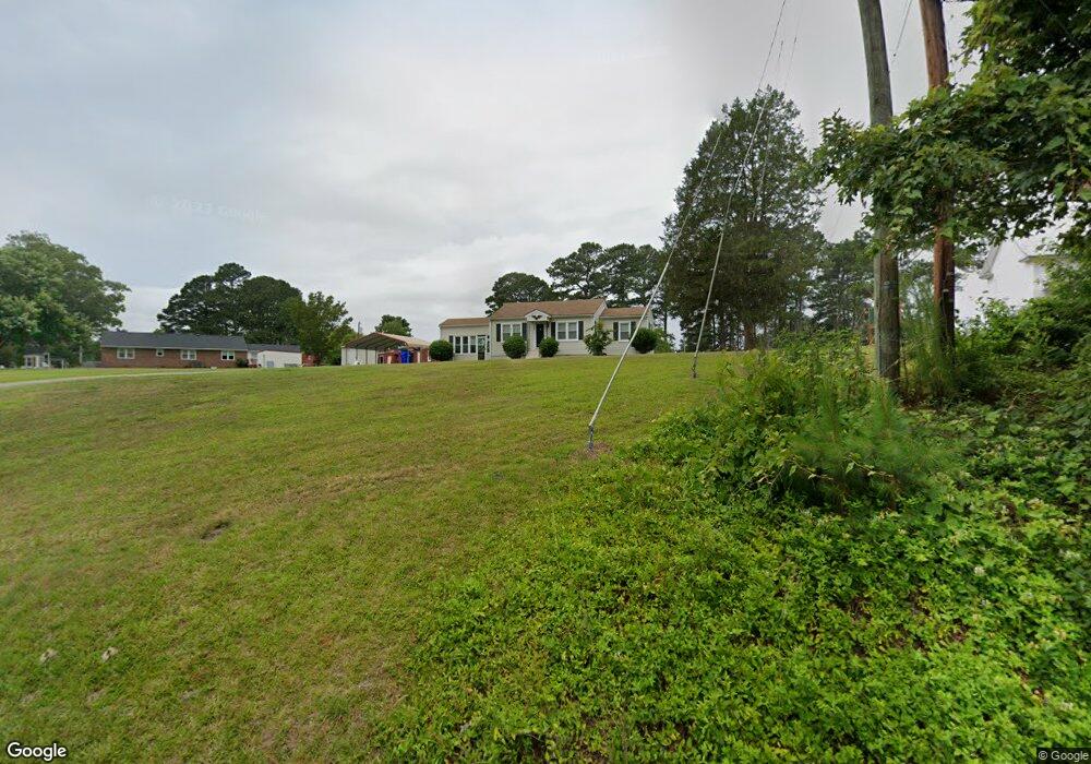
119 Manning Rd Suffolk, VA 23434
Holy Neck NeighborhoodEstimated Value: $163,000 - $239,000
Studio
--
Bath
792
Sq Ft
$242/Sq Ft
Est. Value
About This Home
This home is located at 119 Manning Rd, Suffolk, VA 23434 and is currently estimated at $191,836, approximately $242 per square foot. 119 Manning Rd is a home located in Suffolk City with nearby schools including Kilby Shores Elementary School, Forest Glen Middle School, and Lakeland High School.
Ownership History
Date
Name
Owned For
Owner Type
Purchase Details
Closed on
Nov 18, 2022
Sold by
Brandt Angela M
Bought by
Lori H Panther Llc
Current Estimated Value
Home Financials for this Owner
Home Financials are based on the most recent Mortgage that was taken out on this home.
Original Mortgage
$91,000
Outstanding Balance
$87,896
Interest Rate
6.94%
Mortgage Type
New Conventional
Estimated Equity
$103,940
Create a Home Valuation Report for This Property
The Home Valuation Report is an in-depth analysis detailing your home's value as well as a comparison with similar homes in the area
Home Values in the Area
Average Home Value in this Area
Purchase History
| Date | Buyer | Sale Price | Title Company |
|---|---|---|---|
| Lori H Panther Llc | $130,000 | Seashore Title |
Source: Public Records
Mortgage History
| Date | Status | Borrower | Loan Amount |
|---|---|---|---|
| Open | Lori H Panther Llc | $91,000 |
Source: Public Records
Tax History
| Year | Tax Paid | Tax Assessment Tax Assessment Total Assessment is a certain percentage of the fair market value that is determined by local assessors to be the total taxable value of land and additions on the property. | Land | Improvement |
|---|---|---|---|---|
| 2025 | $2,311 | $173,900 | $59,400 | $114,500 |
| 2024 | $2,311 | $163,300 | $53,900 | $109,400 |
| 2023 | $2,140 | $158,100 | $53,900 | $104,200 |
| 2022 | $1,551 | $142,300 | $53,900 | $88,400 |
| 2021 | $1,437 | $129,500 | $53,900 | $75,600 |
| 2020 | $1,388 | $125,000 | $53,900 | $71,100 |
| 2019 | $1,336 | $120,400 | $53,900 | $66,500 |
| 2018 | $1,364 | $115,000 | $53,900 | $61,100 |
| 2017 | $1,181 | $110,400 | $53,900 | $56,500 |
| 2016 | $1,181 | $110,400 | $53,900 | $56,500 |
| 2015 | $701 | $110,400 | $53,900 | $56,500 |
| 2014 | $701 | $110,400 | $53,900 | $56,500 |
Source: Public Records
Map
Nearby Homes
- 19 Grove Ave
- 1523 Art Ct
- 1516 Wilkins Dr
- 1514 Brittle Dr
- 1717 Colonial Ave
- 202 Grove Ave
- 118 Winterview Dr
- 2037 Brians Ln
- 221 Delaney Dr
- 1323 Pheasant Cir
- 1450 Lipton Cir
- 4047 Brians Ln
- 5001 Melanie Ct
- 5003 Melanie Ct
- 5008 Melanie Ct
- 5009 Melanie Ct
- 103 Tupelo Way
- 4043 Brians Ln
- 326 Tarn Ct
- 321 Tarn Ct
- 123 Manning Rd
- 114 Barrett Dr
- 111 Manning Rd
- 110 Barrett Dr
- 125 Manning Rd
- 120 Manning Rd
- 116 Manning Rd
- 116 Barrett Dr
- 124 Manning Rd
- 1603 Holland Rd
- 1546 Wilkins Dr
- 129 Manning Rd
- 128 Manning Rd
- 117 Barrett Dr
- 1551 Wilkins Dr
- 1544 Wilkins Dr
- 111 Barrett Dr
- 1607 Ronald Dr
- 1549 Wilkins Dr
- 131 Manning Rd
Your Personal Tour Guide
Ask me questions while you tour the home.