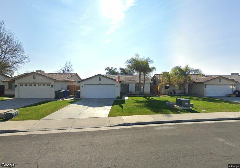
119 Misty Meadow Dr Bakersfield, CA 93308
Parkview Estates NeighborhoodEstimated Value: $343,835 - $381,000
4
Beds
2
Baths
1,357
Sq Ft
$264/Sq Ft
Est. Value
About This Home
This home is located at 119 Misty Meadow Dr, Bakersfield, CA 93308 and is currently estimated at $357,709, approximately $263 per square foot. 119 Misty Meadow Dr is a home located in Kern County with nearby schools including Highland Elementary School, Standard Middle School, and North High School.
Ownership History
Date
Name
Owned For
Owner Type
Purchase Details
Closed on
Mar 17, 2004
Sold by
Stuart Thomas Inc
Bought by
Crum Michael and Crum Wanda
Current Estimated Value
Home Financials for this Owner
Home Financials are based on the most recent Mortgage that was taken out on this home.
Original Mortgage
$132,707
Outstanding Balance
$62,108
Interest Rate
5.69%
Mortgage Type
FHA
Estimated Equity
$295,601
Purchase Details
Closed on
Aug 28, 2003
Sold by
North Country Meadows Inc
Bought by
Stuart Thomas Inc and Lenox Homes
Home Financials for this Owner
Home Financials are based on the most recent Mortgage that was taken out on this home.
Original Mortgage
$88,700
Interest Rate
6.3%
Mortgage Type
Construction
Create a Home Valuation Report for This Property
The Home Valuation Report is an in-depth analysis detailing your home's value as well as a comparison with similar homes in the area
Home Values in the Area
Average Home Value in this Area
Purchase History
| Date | Buyer | Sale Price | Title Company |
|---|---|---|---|
| Crum Michael | $135,000 | Commonwealth Title | |
| Stuart Thomas Inc | $26,000 | Commonwealth Title |
Source: Public Records
Mortgage History
| Date | Status | Borrower | Loan Amount |
|---|---|---|---|
| Open | Crum Michael | $132,707 | |
| Previous Owner | Stuart Thomas Inc | $88,700 | |
| Closed | Crum Michael | $4,043 |
Source: Public Records
Tax History Compared to Growth
Tax History
| Year | Tax Paid | Tax Assessment Tax Assessment Total Assessment is a certain percentage of the fair market value that is determined by local assessors to be the total taxable value of land and additions on the property. | Land | Improvement |
|---|---|---|---|---|
| 2025 | $3,413 | $191,633 | $42,642 | $148,991 |
| 2024 | $3,302 | $187,876 | $41,806 | $146,070 |
| 2023 | $3,302 | $184,193 | $40,987 | $143,206 |
| 2022 | $3,206 | $180,583 | $40,184 | $140,399 |
| 2021 | $3,102 | $177,044 | $39,397 | $137,647 |
| 2020 | $2,997 | $175,230 | $38,994 | $136,236 |
| 2019 | $2,958 | $175,230 | $38,994 | $136,236 |
| 2018 | $2,858 | $168,428 | $37,481 | $130,947 |
| 2017 | $2,841 | $165,127 | $36,747 | $128,380 |
| 2016 | $2,579 | $161,890 | $36,027 | $125,863 |
| 2015 | $2,538 | $159,459 | $35,486 | $123,973 |
| 2014 | $2,480 | $156,000 | $39,000 | $117,000 |
Source: Public Records
Map
Nearby Homes
- 202 Sunny Meadow Dr
- 3307 Pacer St
- 200 Electra Ave
- 3505 Pacer St
- 201 Day Ave
- 316 Pilot Ave
- 401 Pilot Ave
- 303 Fern Meadow Dr
- 247 Deep Creek Dr
- 261 Winter Meadow Way
- 325 W Pilot Ave
- 3504 Timberline St
- 327 Fern Meadow Dr
- 3512 Timberline St
- 238 Tanner Michael Dr
- 512 Day Ave
- 2810 N Chester Ave
- 288 Sherman Peak Dr
- 2904 Worthington Ave
- 3724 Rock Meadow Ct
- 123 Misty Meadow Dr
- 115 Misty Meadow Dr
- 127 Misty Meadow Dr
- 111 Misty Meadow Dr
- 116 Sunny Meadow Dr
- 112 Sunny Meadow Dr
- 120 Sunny Meadow Dr
- 108 Sunny Meadow Dr
- 131 Misty Meadow Dr
- 107 Misty Meadow Dr
- 124 Sunny Meadow Dr
- 104 Sunny Meadow Dr
- 122 Misty Meadow Dr
- 118 Misty Meadow Dr
- 128 Sunny Meadow Dr
- 126 Misty Meadow Dr
- 135 Misty Meadow Dr
- 114 Misty Meadow Dr
- 103 Misty Meadow Dr
- 130 Misty Meadow Dr