119 Mount Celo Rd Bristol, NH 03222
Estimated Value: $241,000 - $316,000
2
Beds
2
Baths
931
Sq Ft
$309/Sq Ft
Est. Value
About This Home
This home is located at 119 Mount Celo Rd, Bristol, NH 03222 and is currently estimated at $287,334, approximately $308 per square foot. 119 Mount Celo Rd is a home with nearby schools including Bristol Elementary School.
Ownership History
Date
Name
Owned For
Owner Type
Purchase Details
Closed on
Mar 26, 2019
Sold by
Ingalls Leslie H and Ingalls Jacqueline S
Bought by
Ingalls Ft
Current Estimated Value
Purchase Details
Closed on
Nov 6, 2001
Sold by
Sheenan Thomas J
Bought by
Ingles Leslie H and Ingles Jacqueline S
Home Financials for this Owner
Home Financials are based on the most recent Mortgage that was taken out on this home.
Original Mortgage
$60,000
Interest Rate
6.82%
Create a Home Valuation Report for This Property
The Home Valuation Report is an in-depth analysis detailing your home's value as well as a comparison with similar homes in the area
Home Values in the Area
Average Home Value in this Area
Purchase History
| Date | Buyer | Sale Price | Title Company |
|---|---|---|---|
| Ingalls Ft | -- | -- | |
| Ingles Leslie H | $75,000 | -- |
Source: Public Records
Mortgage History
| Date | Status | Borrower | Loan Amount |
|---|---|---|---|
| Previous Owner | Ingles Leslie H | $60,000 |
Source: Public Records
Tax History
| Year | Tax Paid | Tax Assessment Tax Assessment Total Assessment is a certain percentage of the fair market value that is determined by local assessors to be the total taxable value of land and additions on the property. | Land | Improvement |
|---|---|---|---|---|
| 2025 | $2,477 | $188,200 | $93,500 | $94,700 |
| 2024 | $2,636 | $111,600 | $54,600 | $57,000 |
| 2023 | $2,539 | $111,600 | $54,600 | $57,000 |
| 2022 | $2,183 | $104,000 | $54,600 | $49,400 |
| 2021 | $2,102 | $104,000 | $54,600 | $49,400 |
| 2020 | $2,152 | $104,000 | $54,600 | $49,400 |
| 2019 | $2,141 | $93,900 | $50,300 | $43,600 |
| 2018 | $2,047 | $93,900 | $50,300 | $43,600 |
| 2017 | $2,078 | $93,900 | $50,300 | $43,600 |
| 2016 | $1,936 | $93,900 | $50,300 | $43,600 |
| 2015 | $2,190 | $108,800 | $57,200 | $51,600 |
| 2014 | $2,190 | $108,800 | $57,200 | $51,600 |
| 2013 | $2,196 | $108,800 | $57,200 | $51,600 |
Source: Public Records
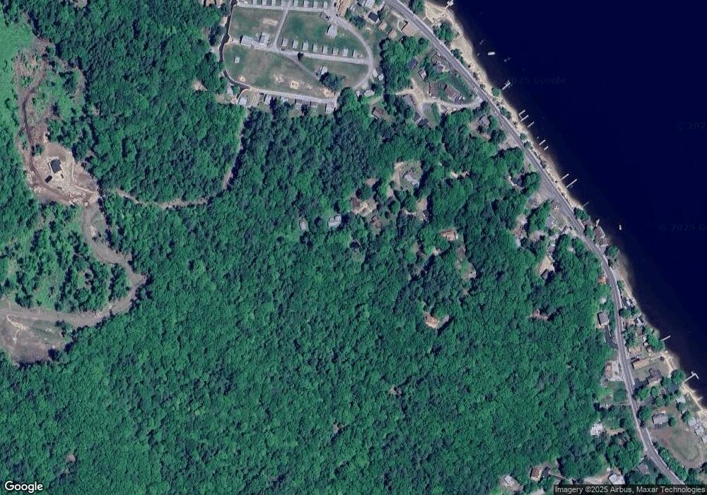
Map
Nearby Homes
- 26 Don Gerry Rd
- 75 Lakewood Pines Rd Unit 20
- 35 Lakewood Pines Rd Unit 3
- 43 Elm St
- 94 Mandi Ln
- 60 Wellington Village Dr Unit 5
- 21 Village West Dr Unit 14
- 66 Summer St
- 60 Summer St
- 30 Beech St Unit 4C
- 30 Beech St Unit 2D
- 40 Beech St Unit A
- 40 Beech St Unit B
- 342 Whittemore Point Rd N
- 862 Mayhew Turnpike Unit 13
- 00 Peaked Hill Rd Unit 7.1, 7.2, 7.3, 7.4,
- 711 W Shore Rd
- 80 Patten Rd
- 200 Walker Rd
- 00 Borough Rd Unit 1,2
- 120 Mount Celo Rd
- 114 Mount Celo Rd
- 106 Mount Celo Rd
- 24 Wildwood Ave
- 15 Wildwood Rd Unit and Lot 1 Mount Celo
- 109 Mount Celo Rd
- 91 Mount Celo Rd
- 25 Wildwood Ave
- 56 Wildwood Ave
- 31 Don Gerry Rd Unit 17
- 25 Don Gerry Rd Unit 25
- 27 Don Gerry Rd
- 27 Don Gerry Rd Unit 27
- 27 Don Gerry Rd Unit 10
- 151 W Shore Rd Unit 9
- 151 W Shore Rd Unit 26
- 151 W Shore Rd Unit 31
- 151 W Shore Rd Unit 16
- 151 W Shore Rd Unit 17
- 151 W Shore Rd
Your Personal Tour Guide
Ask me questions while you tour the home.