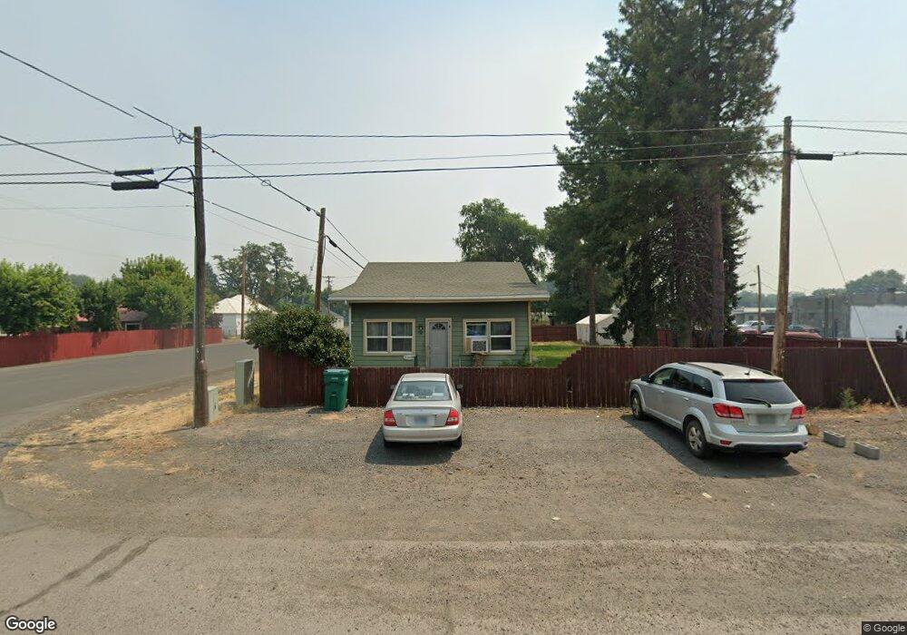
119 N Main St Merrill, OR 97633
Estimated Value: $324,434
3
Beds
1
Bath
1,008
Sq Ft
$322/Sq Ft
Est. Value
About This Home
This home is located at 119 N Main St, Merrill, OR 97633 and is currently estimated at $324,434, approximately $321 per square foot. 119 N Main St is a home located in Klamath County with nearby schools including Merrill Elementary School and Lost River High School.
Ownership History
Date
Name
Owned For
Owner Type
Purchase Details
Closed on
May 8, 2025
Sold by
Walker John R
Bought by
J Walker Rural Prop Llc
Current Estimated Value
Purchase Details
Closed on
Sep 18, 2012
Sold by
Walker John W and Walker Kenna
Bought by
Walker John R and Walker Brenda L
Purchase Details
Closed on
Jul 31, 2007
Sold by
Walker John R and Walker Brenda L
Bought by
Walker John W and Maltman Kenna
Home Financials for this Owner
Home Financials are based on the most recent Mortgage that was taken out on this home.
Original Mortgage
$84,000
Interest Rate
7.5%
Mortgage Type
Adjustable Rate Mortgage/ARM
Create a Home Valuation Report for This Property
The Home Valuation Report is an in-depth analysis detailing your home's value as well as a comparison with similar homes in the area
Home Values in the Area
Average Home Value in this Area
Purchase History
| Date | Buyer | Sale Price | Title Company |
|---|---|---|---|
| J Walker Rural Prop Llc | -- | None Listed On Document | |
| Walker John R | $77,000 | Amerititle | |
| Walker John W | $105,000 | Multiple |
Source: Public Records
Mortgage History
| Date | Status | Borrower | Loan Amount |
|---|---|---|---|
| Previous Owner | Walker John W | $84,000 |
Source: Public Records
Tax History Compared to Growth
Tax History
| Year | Tax Paid | Tax Assessment Tax Assessment Total Assessment is a certain percentage of the fair market value that is determined by local assessors to be the total taxable value of land and additions on the property. | Land | Improvement |
|---|---|---|---|---|
| 2024 | $743 | $58,730 | -- | -- |
| 2023 | $744 | $58,730 | $0 | $0 |
| 2022 | $724 | $55,360 | $0 | $0 |
| 2021 | $701 | $53,750 | $0 | $0 |
| 2020 | $679 | $52,190 | $0 | $0 |
| 2019 | $661 | $50,670 | $0 | $0 |
| 2018 | $617 | $49,200 | $0 | $0 |
| 2017 | $601 | $47,770 | $0 | $0 |
| 2016 | $473 | $46,380 | $0 | $0 |
| 2015 | $592 | $45,030 | $0 | $0 |
| 2014 | -- | $43,720 | $0 | $0 |
| 2013 | -- | $42,450 | $0 | $0 |
Source: Public Records
Map
Nearby Homes
- 0 Oregon 39 Unit Lot 2 220203560
- 0 Oregon 39 Unit 1100
- 0 Oregon 39 Unit 220168688
- 217 N Washington St
- 226 W 2nd St
- 425 W 1st St
- 424 N Garfield St
- 428 N Polk St
- 638 E 1st St
- 330 N Elm St Unit Parcel 2
- 18610 Taylor Rd
- 0 Dodds Hollow Rd Unit 895073 220200218
- 10580 Buesing Rd
- 17356 Hill Rd
- 22990 Highway 50
- 10145 Matney Way
- 9452 Matney Way
- 4000 Lower Klamath Lake Rd
- 127 Siskiyou St
- 332 First St
- 205 N Main St
- 131 E Front St
- 123 E Front St
- 122 E Front
- 124 N Main St
- 215 N Main St
- 136 W 1st St
- 22122 Oregon 39
- 221 N Main St
- 212 N Main St
- 222 Washington St
- 117 N Washington St
- 107 E Front St
- 133 N Monroe St
- 135 Washington St
- 205 Washington St
- 203 N Monroe St
- 129 W Front
- 217 Washington St
- 234 Washington St