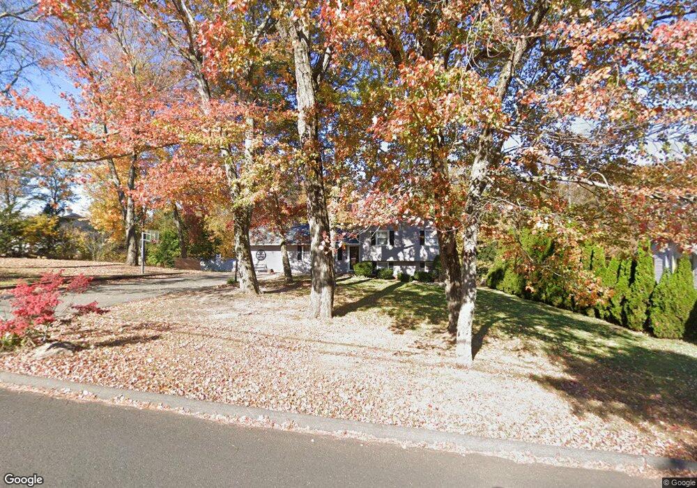
119 Ransom Hall Rd Wolcott, CT 06716
Estimated Value: $338,000 - $461,000
3
Beds
2
Baths
1,008
Sq Ft
$371/Sq Ft
Est. Value
About This Home
This home is located at 119 Ransom Hall Rd, Wolcott, CT 06716 and is currently estimated at $373,836, approximately $370 per square foot. 119 Ransom Hall Rd is a home located in New Haven County with nearby schools including Tyrrell Middle School and Wolcott High School.
Ownership History
Date
Name
Owned For
Owner Type
Purchase Details
Closed on
Oct 5, 1999
Sold by
Sickles Brian E and Sickles Bethann
Bought by
Pawlak Carrie
Current Estimated Value
Home Financials for this Owner
Home Financials are based on the most recent Mortgage that was taken out on this home.
Original Mortgage
$141,550
Interest Rate
7.85%
Mortgage Type
Purchase Money Mortgage
Create a Home Valuation Report for This Property
The Home Valuation Report is an in-depth analysis detailing your home's value as well as a comparison with similar homes in the area
Home Values in the Area
Average Home Value in this Area
Purchase History
| Date | Buyer | Sale Price | Title Company |
|---|---|---|---|
| Pawlak Carrie | $149,000 | -- |
Source: Public Records
Mortgage History
| Date | Status | Borrower | Loan Amount |
|---|---|---|---|
| Open | Pawlak Carrie | $143,348 | |
| Closed | Pawlak Carrie | $141,550 | |
| Previous Owner | Pawlak Carrie | $25,000 | |
| Previous Owner | Pawlak Carrie | $85,000 |
Source: Public Records
Tax History
| Year | Tax Paid | Tax Assessment Tax Assessment Total Assessment is a certain percentage of the fair market value that is determined by local assessors to be the total taxable value of land and additions on the property. | Land | Improvement |
|---|---|---|---|---|
| 2025 | $5,783 | $160,950 | $39,070 | $121,880 |
| 2024 | $5,323 | $160,950 | $39,070 | $121,880 |
| 2023 | $5,129 | $160,950 | $39,070 | $121,880 |
| 2022 | $4,957 | $160,950 | $39,070 | $121,880 |
| 2021 | $4,540 | $137,000 | $37,080 | $99,920 |
| 2020 | $4,489 | $135,470 | $37,080 | $98,390 |
| 2019 | $4,489 | $135,470 | $37,080 | $98,390 |
| 2018 | $4,362 | $135,470 | $37,080 | $98,390 |
| 2017 | $4,236 | $135,470 | $37,080 | $98,390 |
| 2016 | $4,155 | $143,730 | $37,740 | $105,990 |
Source: Public Records
Map
Nearby Homes
- 13 Margaret Terrace
- 0 Coe Rd
- 143 Bound Line Rd
- 20 Upson Rd
- 00 Woodtick Rd
- 69 Munson Rd
- 65 Munson Rd
- 20 Wolf Hill Rd Unit 1A
- 0 Woodtick Rd Unit 24119429
- 210 Munson Rd Unit 2-D
- 210 Munson Rd Unit 1-H
- 210 Munson Rd Unit 2-F
- 210 Munson Rd
- 210 Munson Rd Unit 2-G
- 210 Munson Rd Unit 2-C
- 210 Munson Rd Unit 2-E
- 19 Wagon Trail
- 866 Wolcott Rd
- 124 East St
- 63 Lyman Rd
- 123 Ransom Hall Rd
- 115 Ransom Hall Rd
- 127 Ransom Hall Rd
- 129 Ransom Hall Rd
- 110 Ransom Hall Rd
- 108 Ransom Hall Rd
- 1 Colman Dr Unit B
- 1 Colman Dr
- 91 Ransom Hall Rd
- 2 Colman Dr
- 135 Ransom Hall Rd
- 107 Ransom Hall Rd
- 800 Woodtick Rd
- 86 Ransom Hall Rd
- 141 Ransom Hall Rd
- 83 Ransom Hall Rd
- 854 Woodtick Rd
- 812 Woodtick Rd
- 149 Ransom Hall Rd
- 156 Ransom Hall Rd
Your Personal Tour Guide
Ask me questions while you tour the home.