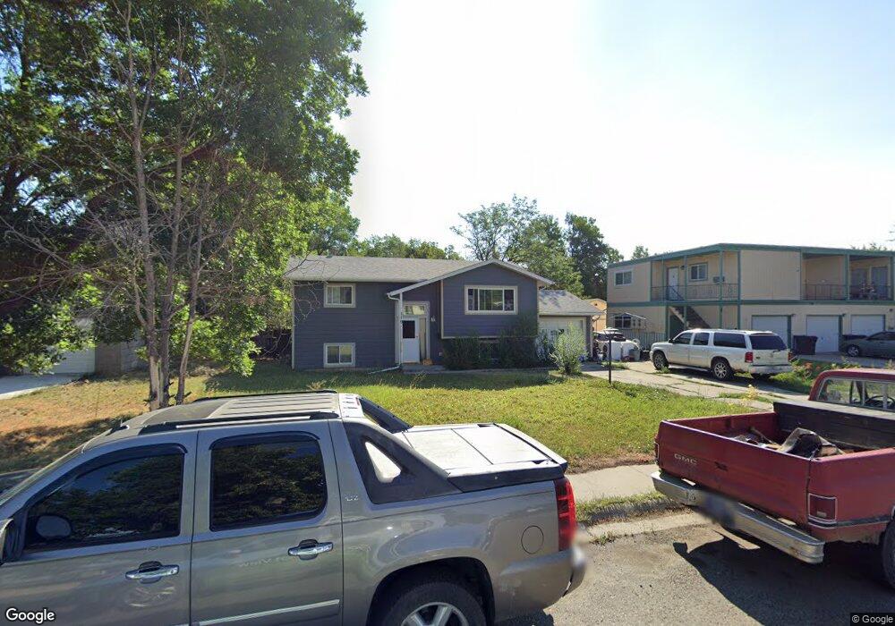
119 S 12th St W Billings, MT 59101
East Central Billings NeighborhoodEstimated Value: $258,000 - $308,000
3
Beds
1
Bath
1,818
Sq Ft
$160/Sq Ft
Est. Value
About This Home
This home is located at 119 S 12th St W, Billings, MT 59101 and is currently estimated at $291,468, approximately $160 per square foot. 119 S 12th St W is a home located in Yellowstone County with nearby schools including Washington School, Lewis & Clark Junior High School, and Billings West High School.
Ownership History
Date
Name
Owned For
Owner Type
Purchase Details
Closed on
Mar 12, 2024
Sold by
Peterson Jeremy D and Peterson Tiffany J
Bought by
Gillespie Gunnar
Current Estimated Value
Home Financials for this Owner
Home Financials are based on the most recent Mortgage that was taken out on this home.
Original Mortgage
$218,250
Outstanding Balance
$214,661
Interest Rate
6.69%
Mortgage Type
New Conventional
Estimated Equity
$76,807
Purchase Details
Closed on
Jun 23, 2014
Sold by
Peterson Jeremy D
Bought by
Peterson Jeremy D and Peterson Tiffany J
Create a Home Valuation Report for This Property
The Home Valuation Report is an in-depth analysis detailing your home's value as well as a comparison with similar homes in the area
Home Values in the Area
Average Home Value in this Area
Purchase History
| Date | Buyer | Sale Price | Title Company |
|---|---|---|---|
| Gillespie Gunnar | -- | First Montana Title | |
| Peterson Jeremy D | -- | None Available |
Source: Public Records
Mortgage History
| Date | Status | Borrower | Loan Amount |
|---|---|---|---|
| Open | Gillespie Gunnar | $218,250 |
Source: Public Records
Tax History Compared to Growth
Tax History
| Year | Tax Paid | Tax Assessment Tax Assessment Total Assessment is a certain percentage of the fair market value that is determined by local assessors to be the total taxable value of land and additions on the property. | Land | Improvement |
|---|---|---|---|---|
| 2025 | $2,211 | $244,800 | $41,563 | $203,237 |
| 2024 | $2,211 | $223,100 | $41,417 | $181,683 |
| 2023 | $2,329 | $230,100 | $41,417 | $188,683 |
| 2022 | $2,287 | $200,000 | $0 | $0 |
| 2021 | $2,225 | $200,000 | $0 | $0 |
| 2020 | $2,069 | $178,500 | $0 | $0 |
| 2019 | $1,977 | $178,500 | $0 | $0 |
| 2018 | $1,867 | $164,500 | $0 | $0 |
| 2017 | $1,813 | $164,500 | $0 | $0 |
| 2016 | $1,646 | $150,100 | $0 | $0 |
| 2015 | $1,609 | $150,100 | $0 | $0 |
| 2014 | $1,482 | $72,981 | $0 | $0 |
Source: Public Records
Map
Nearby Homes
- 141 S 12th St W
- 1212 Concord Dr
- 231 S 12th St W
- 1304 Eldorado Dr
- 226 Moore Ln
- 1113 Lynn Ave
- 1231 Saint Johns Ave
- 112 11th St W
- 1122 Howard Ave
- 1019 Miles Ave
- 12 Macarthur Ave
- 927 Miles Ave
- 925 Miles Ave
- 812 Miles Ave
- 19 Patton Ave
- 1346 Broadwater Ave
- 305 17th St W
- 626 Cook Ave
- 1310 Yellowstone Ave Unit 6
- 1310 Yellowstone Ave Unit 11
- 123 S 12th St W
- 113 S 12th St W
- 1204 Fairvale Dr
- 1203 Fairvale Dr
- 122 Foster Ln
- 107 S 12th St W
- 124 Foster Ln
- 116 Foster Ln
- 124 124 1/2 Foster Ln
- 1208 Fairvale Dr
- 1207 Fairvale Dr
- 130 Foster Ln
- 112 Foster Ln
- 147 S 12th St W
- 1212 Fairvale Dr
- 1203 Glencoe Dr
- 1211 Fairvale Dr
- 101 S 12th St W
- 54 Foster Ln
- 1204 Eldorado Dr