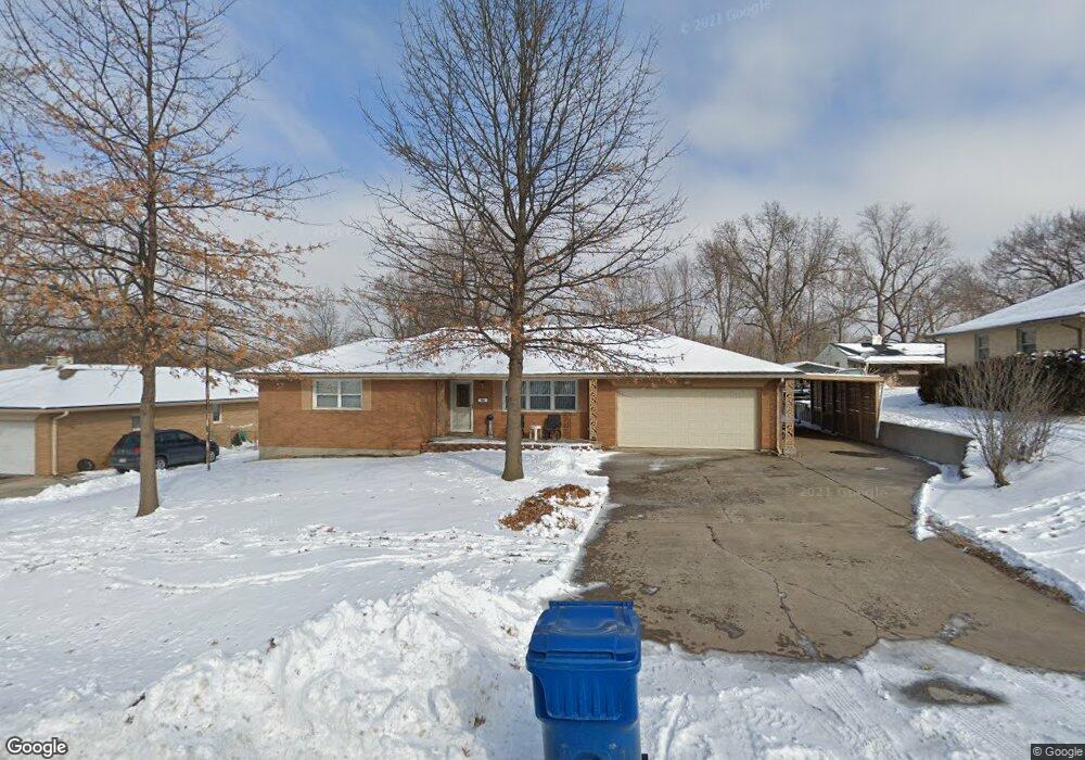
11910 E 32nd St S Independence, MO 64052
Three Trails NeighborhoodEstimated Value: $237,716 - $307,000
3
Beds
2
Baths
1,717
Sq Ft
$159/Sq Ft
Est. Value
About This Home
This home is located at 11910 E 32nd St S, Independence, MO 64052 and is currently estimated at $272,929, approximately $158 per square foot. 11910 E 32nd St S is a home located in Jackson County with nearby schools including Three Trails Elementary School, Clifford H. Nowlin Middle School, and Van Horn High School.
Ownership History
Date
Name
Owned For
Owner Type
Purchase Details
Closed on
Sep 30, 2004
Sold by
Jacob James P and Jacob Carol S
Bought by
Stallman Kenneth N and Stallman Joyce L
Current Estimated Value
Purchase Details
Closed on
Nov 22, 2002
Sold by
Lasater Larry F and Lasater Peggy A
Bought by
Jacob James P and Smith Carol S
Home Financials for this Owner
Home Financials are based on the most recent Mortgage that was taken out on this home.
Original Mortgage
$111,600
Interest Rate
6.13%
Mortgage Type
Purchase Money Mortgage
Purchase Details
Closed on
Oct 10, 1996
Sold by
Boyd Alice R
Bought by
Lasater Larry F and Lasater Peggy A
Create a Home Valuation Report for This Property
The Home Valuation Report is an in-depth analysis detailing your home's value as well as a comparison with similar homes in the area
Home Values in the Area
Average Home Value in this Area
Purchase History
| Date | Buyer | Sale Price | Title Company |
|---|---|---|---|
| Stallman Kenneth N | -- | Ctic | |
| Jacob James P | -- | Stewart Title Of Kansas City | |
| Lasater Larry F | -- | -- |
Source: Public Records
Mortgage History
| Date | Status | Borrower | Loan Amount |
|---|---|---|---|
| Previous Owner | Jacob James P | $111,600 |
Source: Public Records
Tax History
| Year | Tax Paid | Tax Assessment Tax Assessment Total Assessment is a certain percentage of the fair market value that is determined by local assessors to be the total taxable value of land and additions on the property. | Land | Improvement |
|---|---|---|---|---|
| 2025 | $2,303 | $37,145 | $3,352 | $33,793 |
| 2024 | $2,247 | $32,300 | $5,523 | $26,777 |
| 2023 | $2,247 | $32,300 | $5,523 | $26,777 |
| 2022 | $2,431 | $31,920 | $5,900 | $26,020 |
| 2021 | $2,422 | $31,920 | $5,900 | $26,020 |
| 2020 | $2,176 | $27,922 | $5,900 | $22,022 |
| 2019 | $2,144 | $27,922 | $5,900 | $22,022 |
| 2018 | $2,191 | $27,724 | $5,676 | $22,048 |
| 2016 | $2,186 | $27,029 | $3,718 | $23,311 |
Source: Public Records
Map
Nearby Homes
- 3209 S Norton Ave
- 3037 S Scott Ave
- 1316 W 29th Terrace S
- 2925 S Norwood Ave
- 3301 S Vermont Ave
- 1319 W 29th St S
- 3221 S Crysler Ave
- 12108 Markham Rd
- 1223 W 32nd St
- 2519 S Claremont Ave
- 2805 S Fuller Ave
- 12502 E 33rd St S
- 1408 W 28th St S
- 1524 W Sheley Rd
- 1403 W 27th Terrace S
- 3601 Shady Bend Dr
- 1217 W 36 St S
- 12806 E 33rd St S
- 2917 Mason Ave
- 11120 E 36th St S
- 11906 E 32nd St S
- 11912 E 32nd St S
- 11901 Mar Bec Trail
- 11816 E 32nd St S
- 3113 S Norton Ave
- 11900 Mar Bec Trail
- 3111 S Norton Ave
- 11907 Mar Bec Trail
- 3107 S Norton Ave
- 11906 Mar Bec Trail
- 12001 Oak Ridge Rd
- 3105 S Norton Ave
- 3122 S Forest Ave
- 3114 S Norton Ave
- 11510 E 32nd St S
- 3112 S Norton Ave
- 12005 Oak Ridge Rd
- 3103 S Norton Ave
- 11912 Mar Bec Trail
- 11913 Mar Bec Trail
Your Personal Tour Guide
Ask me questions while you tour the home.