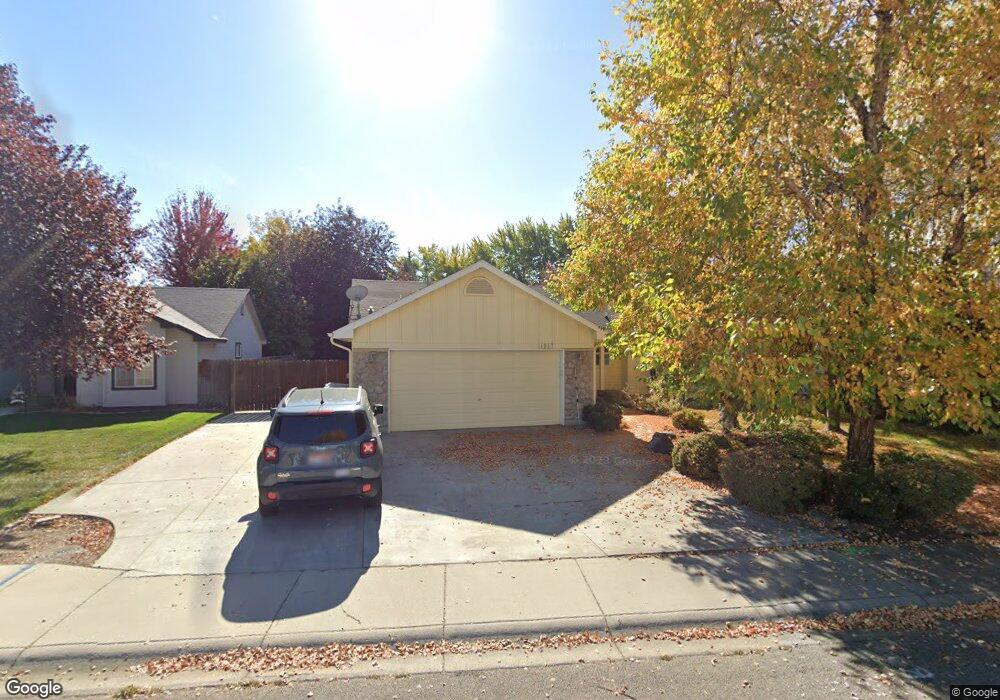
11917 W Lewisburg Ct Boise, ID 83709
Southwest Boise NeighborhoodEstimated Value: $429,166 - $448,000
3
Beds
2
Baths
1,348
Sq Ft
$326/Sq Ft
Est. Value
About This Home
This home is located at 11917 W Lewisburg Ct, Boise, ID 83709 and is currently estimated at $438,792, approximately $325 per square foot. 11917 W Lewisburg Ct is a home located in Ada County with nearby schools including Pepper Ridge Elementary, Lewis & Clark Middle School, and Centennial High School.
Ownership History
Date
Name
Owned For
Owner Type
Purchase Details
Closed on
Nov 23, 2020
Sold by
Cavins Jean and Cavins Alanda Jean
Bought by
Persinger Stephanie L and Persinger Kylie A
Current Estimated Value
Purchase Details
Closed on
Aug 2, 2011
Sold by
Rohr Carla J
Bought by
Cavins A Jean
Purchase Details
Closed on
Feb 22, 1999
Sold by
Statewide Construction Inc
Bought by
Rohr Carla J
Home Financials for this Owner
Home Financials are based on the most recent Mortgage that was taken out on this home.
Original Mortgage
$91,700
Interest Rate
6.77%
Mortgage Type
VA
Create a Home Valuation Report for This Property
The Home Valuation Report is an in-depth analysis detailing your home's value as well as a comparison with similar homes in the area
Home Values in the Area
Average Home Value in this Area
Purchase History
| Date | Buyer | Sale Price | Title Company |
|---|---|---|---|
| Persinger Stephanie L | -- | None Listed On Document | |
| Cavins A Jean | -- | Pioneer Title Company Of Ada | |
| Rohr Carla J | -- | Pioneer Title Company |
Source: Public Records
Mortgage History
| Date | Status | Borrower | Loan Amount |
|---|---|---|---|
| Previous Owner | Rohr Carla J | $91,700 |
Source: Public Records
Tax History Compared to Growth
Tax History
| Year | Tax Paid | Tax Assessment Tax Assessment Total Assessment is a certain percentage of the fair market value that is determined by local assessors to be the total taxable value of land and additions on the property. | Land | Improvement |
|---|---|---|---|---|
| 2025 | $2,642 | $405,300 | -- | -- |
| 2024 | $2,649 | $399,700 | -- | -- |
| 2023 | $2,649 | $380,600 | $0 | $0 |
| 2022 | $3,068 | $454,700 | $0 | $0 |
| 2021 | $3,086 | $352,200 | $0 | $0 |
| 2020 | $1,772 | $277,900 | $0 | $0 |
| 2019 | $2,076 | $262,200 | $0 | $0 |
| 2018 | $1,763 | $224,200 | $0 | $0 |
| 2017 | $1,545 | $201,800 | $0 | $0 |
| 2016 | $1,419 | $182,400 | $0 | $0 |
| 2015 | $1,307 | $178,000 | $0 | $0 |
| 2012 | -- | $128,500 | $0 | $0 |
Source: Public Records
Map
Nearby Homes
- 11829 W Camas St
- 12152 W Lewisburg Ct
- 11683 W Aldershot St
- 12410 W Lewisburg Dr
- 1132 S Amaya Ave
- 11899 W Blueberry Ct
- 681 S Kiser Ave
- 704 S Kiser Ave
- 11225 W Camas St
- 12158 W Silverking Ct
- 4216 Woodmurra St
- 4202 Woodmurra St
- 4187 E Blueberry St
- 10776 W Smoke Ranch Dr
- 11085 W Bridgetower Dr
- 4498 E Goldstone Dr
- 4132 E Silverking Ln
- 3970 E Overland Rd
- 937 S Nautilus Ave
- 10866 W Sandhurst Dr
- 11935 W Lewisburg Ct
- 11879 W Lewisburg Ct
- 11953 W Lewisburg Ct
- 11855 W Lewisburg Ct
- 11894 La Pan Dr
- 11922 La Pan Dr
- 11971 W Lewisburg Ct
- 11914 W Lewisburg Ct
- 11878 W Lewisburg Ct
- 11932 W Lewisburg Ct
- 11954 La Pan Dr
- 11847 W Lewisburg Ct
- 11890 La Pan Dr
- 11950 W Lewisburg Ct
- 11856 W Lewisburg Ct
- 11898 La Pan Dr
- 11999 W Lewisburg Ct
- 11968 W Lewisburg Ct
- 11898 W La Pan Dr
- 11841 W Lewisburg Ct