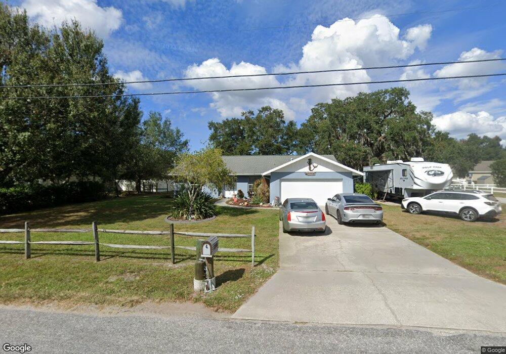
11930 69th St E Parrish, FL 34219
Estimated Value: $352,000 - $380,000
3
Beds
2
Baths
1,431
Sq Ft
$254/Sq Ft
Est. Value
About This Home
This home is located at 11930 69th St E, Parrish, FL 34219 and is currently estimated at $363,431, approximately $253 per square foot. 11930 69th St E is a home located in Manatee County with nearby schools including Barbara A. Harvey Elementary School, Buffalo Creek Middle School, and Parrish Community High School.
Ownership History
Date
Name
Owned For
Owner Type
Purchase Details
Closed on
Jul 14, 2000
Sold by
Parrish J W
Bought by
Abbott Guthrie Jason H and Abbott Guthrie Collette L
Current Estimated Value
Home Financials for this Owner
Home Financials are based on the most recent Mortgage that was taken out on this home.
Original Mortgage
$119,710
Outstanding Balance
$43,776
Interest Rate
8.54%
Mortgage Type
FHA
Estimated Equity
$319,655
Create a Home Valuation Report for This Property
The Home Valuation Report is an in-depth analysis detailing your home's value as well as a comparison with similar homes in the area
Home Values in the Area
Average Home Value in this Area
Purchase History
| Date | Buyer | Sale Price | Title Company |
|---|---|---|---|
| Abbott Guthrie Jason H | $120,500 | -- |
Source: Public Records
Mortgage History
| Date | Status | Borrower | Loan Amount |
|---|---|---|---|
| Open | Abbott Guthrie Jason H | $119,710 |
Source: Public Records
Tax History
| Year | Tax Paid | Tax Assessment Tax Assessment Total Assessment is a certain percentage of the fair market value that is determined by local assessors to be the total taxable value of land and additions on the property. | Land | Improvement |
|---|---|---|---|---|
| 2025 | $1,628 | $142,387 | -- | -- |
| 2023 | $1,628 | $134,344 | $0 | $0 |
| 2022 | $1,568 | $130,431 | $0 | $0 |
| 2021 | $1,487 | $126,632 | $0 | $0 |
| 2020 | $1,466 | $124,884 | $0 | $0 |
| 2019 | $1,431 | $122,076 | $0 | $0 |
| 2018 | $1,407 | $119,800 | $0 | $0 |
| 2017 | $1,295 | $117,336 | $0 | $0 |
| 2016 | $1,284 | $114,923 | $0 | $0 |
Source: Public Records
Map
Nearby Homes
- 7121 122nd Ave E
- 12300 Parrish Cemetary Rd
- 6209 116th Ave E
- 6306 115th Ave E
- 11880 Us Highway 301 N
- 11452 64th St E
- 6203 115th Ave E
- 6927 Indus Valley Cir
- 7107 Indus Valley Cir
- 11415 61st St E
- 12345 Parrish Cemetary Rd
- 11809 Catawba Cove
- 6307 114th Ave E
- 6413 114th Ave E
- 12346 U S 301
- 1628 Rio Vista Terrace
- 1517 Rio Vista Terrace
- 12355 Doris Rd
- 11412 78th St E
- 5405 120th Ave E
- 11920 69th St E
- 6919 120th Ave E
- 11950 69th St E
- 11910 69th St E
- 6925 120th Ave E
- 6920 120th Ave E
- 6912 119th Ave E
- 11902 69th St E
- 11945 71st St E
- 11955 71st St E
- 12006 69th St E
- 11903 69th St E
- 11925 71st St E
- 6907 119th Ave E
- 11855 69th St E
- 12010 69th St E
- 6911 119th Ave E
- 6915 119th Ave E
- 6913 119th Ave E
- 11954 71st St E
Your Personal Tour Guide
Ask me questions while you tour the home.