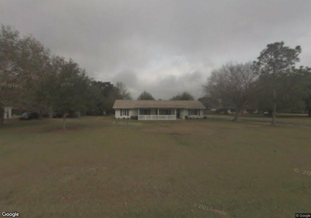
11936 73rd St E Parrish, FL 34219
Estimated Value: $400,000 - $465,653
4
Beds
3
Baths
1,800
Sq Ft
$238/Sq Ft
Est. Value
About This Home
This home is located at 11936 73rd St E, Parrish, FL 34219 and is currently estimated at $428,663, approximately $238 per square foot. 11936 73rd St E is a home located in Manatee County with nearby schools including Barbara A. Harvey Elementary School, Buffalo Creek Middle School, and Parrish Community High School.
Ownership History
Date
Name
Owned For
Owner Type
Purchase Details
Closed on
Dec 21, 1995
Sold by
Whidden Scott E and Whidden Christine R
Bought by
Whidden Scott E and Whidden Christine R
Current Estimated Value
Purchase Details
Closed on
Mar 17, 1995
Sold by
Mackay Gerald M and Mackay Mary T
Bought by
Whidden Scott E and Montone Christine R
Home Financials for this Owner
Home Financials are based on the most recent Mortgage that was taken out on this home.
Original Mortgage
$58,500
Interest Rate
8.89%
Create a Home Valuation Report for This Property
The Home Valuation Report is an in-depth analysis detailing your home's value as well as a comparison with similar homes in the area
Home Values in the Area
Average Home Value in this Area
Purchase History
| Date | Buyer | Sale Price | Title Company |
|---|---|---|---|
| Whidden Scott E | -- | -- | |
| Whidden Scott E | $65,000 | -- |
Source: Public Records
Mortgage History
| Date | Status | Borrower | Loan Amount |
|---|---|---|---|
| Previous Owner | Whidden Scott E | $58,500 |
Source: Public Records
Tax History
| Year | Tax Paid | Tax Assessment Tax Assessment Total Assessment is a certain percentage of the fair market value that is determined by local assessors to be the total taxable value of land and additions on the property. | Land | Improvement |
|---|---|---|---|---|
| 2025 | $2,002 | $170,402 | -- | -- |
| 2023 | $2,002 | $160,777 | $0 | $0 |
| 2022 | $1,933 | $156,094 | $0 | $0 |
| 2021 | $1,840 | $151,548 | $0 | $0 |
| 2020 | $1,826 | $149,456 | $0 | $0 |
| 2019 | $1,788 | $146,096 | $0 | $0 |
| 2018 | $1,761 | $143,372 | $0 | $0 |
| 2017 | $1,626 | $140,423 | $0 | $0 |
| 2016 | $1,615 | $137,535 | $0 | $0 |
Source: Public Records
Map
Nearby Homes
- 7121 122nd Ave E
- 12300 Parrish Cemetary Rd
- 11809 Catawba Cove
- 12346 U S 301
- 6927 Indus Valley Cir
- 7107 Indus Valley Cir
- 12345 Parrish Cemetary Rd
- 8514 Arrow Creek Dr
- 8518 Arrow Creek Dr
- 11735 Full Moon Loop
- 11743 Full Moon Loop
- 11746 Full Moon Loop
- 12310 Oak Hill Way
- 1628 Rio Vista Terrace
- 1517 Rio Vista Terrace
- 11955 Richmond Trail
- 11963 Richmond Trail
- 12342 Oak Hill Way
- 12350 Oak Hill Way
- 8522 Canyon Creek Trail
Your Personal Tour Guide
Ask me questions while you tour the home.