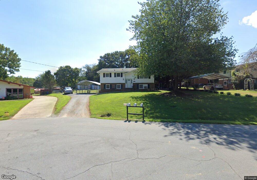
1195 Adams Cir Conover, NC 28613
Estimated Value: $206,000 - $241,000
3
Beds
2
Baths
993
Sq Ft
$224/Sq Ft
Est. Value
About This Home
This home is located at 1195 Adams Cir, Conover, NC 28613 and is currently estimated at $222,208, approximately $223 per square foot. 1195 Adams Cir is a home located in Catawba County with nearby schools including Lyle Creek Elementary School, River Bend Middle School, and Bunker Hill High School.
Ownership History
Date
Name
Owned For
Owner Type
Purchase Details
Closed on
Mar 14, 2011
Sold by
James Jennifer and James Bruce
Bought by
James Jennifer and James Bruce
Current Estimated Value
Home Financials for this Owner
Home Financials are based on the most recent Mortgage that was taken out on this home.
Original Mortgage
$68,000
Outstanding Balance
$46,767
Interest Rate
4.81%
Mortgage Type
New Conventional
Estimated Equity
$175,441
Purchase Details
Closed on
Nov 1, 1998
Bought by
Miller Cathy Carroll and Miller Dean
Create a Home Valuation Report for This Property
The Home Valuation Report is an in-depth analysis detailing your home's value as well as a comparison with similar homes in the area
Home Values in the Area
Average Home Value in this Area
Purchase History
| Date | Buyer | Sale Price | Title Company |
|---|---|---|---|
| James Jennifer | -- | Boston National | |
| Miller Cathy Carroll | $88,000 | -- |
Source: Public Records
Mortgage History
| Date | Status | Borrower | Loan Amount |
|---|---|---|---|
| Open | James Jennifer | $68,000 |
Source: Public Records
Tax History Compared to Growth
Tax History
| Year | Tax Paid | Tax Assessment Tax Assessment Total Assessment is a certain percentage of the fair market value that is determined by local assessors to be the total taxable value of land and additions on the property. | Land | Improvement |
|---|---|---|---|---|
| 2025 | $1,070 | $204,800 | $16,100 | $188,700 |
| 2024 | $1,070 | $204,800 | $16,100 | $188,700 |
| 2023 | $1,029 | $117,800 | $13,700 | $104,100 |
| 2022 | $819 | $117,800 | $13,700 | $104,100 |
| 2021 | $819 | $117,800 | $13,700 | $104,100 |
| 2020 | $819 | $117,800 | $13,700 | $104,100 |
| 2019 | $819 | $117,800 | $0 | $0 |
| 2018 | $716 | $103,000 | $13,300 | $89,700 |
| 2017 | $716 | $0 | $0 | $0 |
| 2016 | $716 | $0 | $0 | $0 |
| 2015 | $640 | $102,990 | $13,300 | $89,690 |
| 2014 | $640 | $106,700 | $12,300 | $94,400 |
Source: Public Records
Map
Nearby Homes
- 1371 Millrace Dr
- 5101 Mill Pond Dr
- 5079 Archdale Dr
- 4874 Stone Dr Unit 125
- 4932 Sandstone Dr
- 5413 Dusty Rd
- 5309 Hall St
- 5826 St Peters Church Rd
- 28.8 Acres +/- Carver House Rd
- 25 Acres+/- Carver House Rd
- 4645 Rifle Range Rd
- 4793 Panama Dr
- 4965 Elmhurst Dr NE
- 2270 Houston Mill Rd
- 4921 Elmhurst Dr NE
- 1862 Green Leaf Ct
- 4008 Pinecrest Dr NE
- 6256 Monford Dr
- 4850 Woodwinds Dr NE
- 1320 Misty Ln Unit 13
- 1201 Adams Cir
- 1185 Adams Cir
- 1206 Stephens St
- 1196 Stephens St
- 1216 Stephens St
- 1262 Pine Hill Rd
- 1175 Adams Cir
- 1198 Adams Cir
- 1194 Adams Cir
- 1186 Stephens St
- 1228 Stephens St
- 1186 Adams Cir
- 1178 Adams Cir
- 1209 Stephens St
- 1199 Stephens St
- 1221 Stephens St
- 1189 Stephens St
- 1269 Pine Hill Rd
- 1170 Adams Cir
- 1187 Pecan St