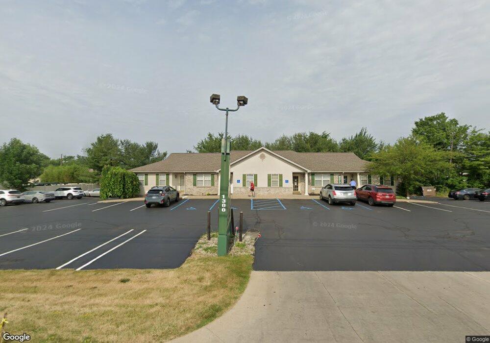
1196 S Canfield Niles Rd Youngstown, OH 44515
Austintown NeighborhoodEstimated Value: $143,040 - $162,000
2
Beds
1
Bath
960
Sq Ft
$160/Sq Ft
Est. Value
About This Home
This home is located at 1196 S Canfield Niles Rd, Youngstown, OH 44515 and is currently estimated at $153,510, approximately $159 per square foot. 1196 S Canfield Niles Rd is a home located in Mahoning County with nearby schools including Austintown Elementary School, Austintown Intermediate School, and Austintown Middle School.
Ownership History
Date
Name
Owned For
Owner Type
Purchase Details
Closed on
Jun 29, 2011
Sold by
Vross Charles R
Bought by
Degenaro Kymberly
Current Estimated Value
Purchase Details
Closed on
Aug 16, 2005
Sold by
Vross Charles R
Bought by
State Of Ohio
Purchase Details
Closed on
Oct 16, 1997
Sold by
Clegg Kerth E
Bought by
Vross Charles R
Home Financials for this Owner
Home Financials are based on the most recent Mortgage that was taken out on this home.
Original Mortgage
$62,315
Interest Rate
7.65%
Purchase Details
Closed on
Dec 22, 1989
Bought by
Clegg Keith E
Create a Home Valuation Report for This Property
The Home Valuation Report is an in-depth analysis detailing your home's value as well as a comparison with similar homes in the area
Home Values in the Area
Average Home Value in this Area
Purchase History
| Date | Buyer | Sale Price | Title Company |
|---|---|---|---|
| Degenaro Kymberly | -- | Attorney | |
| State Of Ohio | $10,290 | -- | |
| Vross Charles R | $60,500 | -- | |
| Clegg Keith E | $39,000 | -- |
Source: Public Records
Mortgage History
| Date | Status | Borrower | Loan Amount |
|---|---|---|---|
| Previous Owner | Vross Charles R | $62,315 |
Source: Public Records
Tax History Compared to Growth
Tax History
| Year | Tax Paid | Tax Assessment Tax Assessment Total Assessment is a certain percentage of the fair market value that is determined by local assessors to be the total taxable value of land and additions on the property. | Land | Improvement |
|---|---|---|---|---|
| 2024 | $1,490 | $32,530 | $7,040 | $25,490 |
| 2023 | $1,467 | $32,530 | $7,040 | $25,490 |
| 2022 | $1,429 | $25,400 | $7,040 | $18,360 |
| 2021 | $1,429 | $25,400 | $7,040 | $18,360 |
| 2020 | $1,435 | $25,400 | $7,040 | $18,360 |
| 2019 | $1,420 | $22,870 | $7,040 | $15,830 |
| 2018 | $1,366 | $22,870 | $7,040 | $15,830 |
| 2017 | $1,437 | $22,870 | $7,040 | $15,830 |
| 2016 | $1,511 | $25,100 | $7,040 | $18,060 |
| 2015 | $1,465 | $25,100 | $7,040 | $18,060 |
| 2014 | -- | $25,100 | $7,040 | $18,060 |
| 2013 | $1,455 | $25,100 | $7,040 | $18,060 |
Source: Public Records
Map
Nearby Homes
- 5318 Pinecrest Ave
- 701 Oberlin Place
- 5559 London Dr
- 5640 Baylor Ave
- 5179 Willow Crest Ave
- 5678 Cider Mill Crossing
- 5256 S Saratoga Ave
- 316 S Inglewood Ave
- 5109 W Elmwood Ave
- 148 Marcia Dr
- 0 Madrid Dr
- 3794-3796 Mahoning Ave
- 5677 Mahoning Ave
- 124 S Inglewood Ave
- 519 Wilcox Rd Unit A
- 557 Wilcox Rd Unit A
- 1707 Westhampton Dr
- 1228 Cavalcade Dr
- 370 Wilcox Rd
- 125 Fitch Blvd Unit 224
- 1250 S Canfield Niles Rd
- 1280 S Canfield Niles Rd
- 609 Harvard Place
- 1103 S Canfield Niles Rd
- 619 Harvard Place
- 631 Harvard Place
- 970 S Canfield Niles Rd
- 1055 S Canfield Niles Rd
- 645 Harvard Place
- 599 Harvard Place
- 661 Harvard Place
- 961 S Canfield Niles Rd
- 600 Harvard Place
- 620 Harvard Place
- 675 Harvard Place
- 632 Harvard Place
- 610 Harvard Place
- 646 Harvard Place
- 5398 Pinecrest Ave
- 662 Harvard Place
