1199 Maud Rd Waukon, IA 52172
Estimated Value: $307,000 - $571,000
2
Beds
1
Bath
3,456
Sq Ft
$120/Sq Ft
Est. Value
About This Home
This home is located at 1199 Maud Rd, Waukon, IA 52172 and is currently estimated at $415,159, approximately $120 per square foot. 1199 Maud Rd is a home located in Allamakee County with nearby schools including West Campus Elementary School, East Campus Elementary School, and Waukon Middle School.
Ownership History
Date
Name
Owned For
Owner Type
Purchase Details
Closed on
Jul 19, 2005
Sold by
Kramer David C and Kramer Mary L
Bought by
Yoder Raymond D and Yoder Lorene D
Current Estimated Value
Home Financials for this Owner
Home Financials are based on the most recent Mortgage that was taken out on this home.
Original Mortgage
$75,000
Interest Rate
5.74%
Mortgage Type
Construction
Create a Home Valuation Report for This Property
The Home Valuation Report is an in-depth analysis detailing your home's value as well as a comparison with similar homes in the area
Home Values in the Area
Average Home Value in this Area
Purchase History
| Date | Buyer | Sale Price | Title Company |
|---|---|---|---|
| Yoder Raymond D | $29,500 | None Available |
Source: Public Records
Mortgage History
| Date | Status | Borrower | Loan Amount |
|---|---|---|---|
| Open | Yoder Raymond D | $26,500 | |
| Open | Yoder Raymond D | $135,000 | |
| Closed | Yoder Raymond D | $10,000 | |
| Closed | Yoder Raymond D | $20,000 | |
| Closed | Yoder Raymond D | $89,000 | |
| Closed | Yoder Raymond D | $75,000 |
Source: Public Records
Tax History Compared to Growth
Tax History
| Year | Tax Paid | Tax Assessment Tax Assessment Total Assessment is a certain percentage of the fair market value that is determined by local assessors to be the total taxable value of land and additions on the property. | Land | Improvement |
|---|---|---|---|---|
| 2024 | $2,482 | $226,200 | $11,800 | $214,400 |
| 2023 | $2,482 | $226,200 | $11,800 | $214,400 |
| 2022 | $1,928 | $159,900 | $9,800 | $150,100 |
| 2021 | $1,966 | $161,000 | $10,900 | $150,100 |
| 2020 | $1,966 | $156,600 | $10,700 | $145,900 |
| 2019 | $1,874 | $153,500 | $0 | $0 |
| 2018 | $1,810 | $153,500 | $0 | $0 |
| 2017 | $1,810 | $141,700 | $0 | $0 |
| 2016 | $1,614 | $141,300 | $0 | $0 |
| 2015 | $1,614 | $79,300 | $0 | $0 |
| 2014 | $830 | $79,300 | $0 | $0 |
Source: Public Records
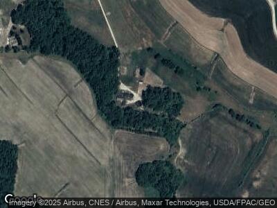
Map
Nearby Homes
- 2181 Iowa 76
- 685 Bear Hollow Rd
- 0 Dry Hollow Rd
- XXX Iron Mine Dr
- 1726 Wynn Wood Ln
- 890 Forest Mills Rd
- 303 E Main St
- 0 Parcel Id#1031376005 Unit 20211907
- 0 Parcel Id#1031351004 Unit 20211906
- 0 Parcel Id#1031376012 Unit 20211905
- 0 Parcel Id#1031376013 Unit 20211902
- 0 Parcel Id#1031351006 Unit 20211900
- 0 Parcel Id#1031351007 Unit 20211899
- 0 Parcel Id#1506100051 Unit 20211897
- 0 SW 11th Ave Unit 20222752
- Allamakee Co. Ia Parcel Id#
- 1017 2nd St SW
- 603 1st St NE
- 208 2nd St NW
- 609 5th St NW