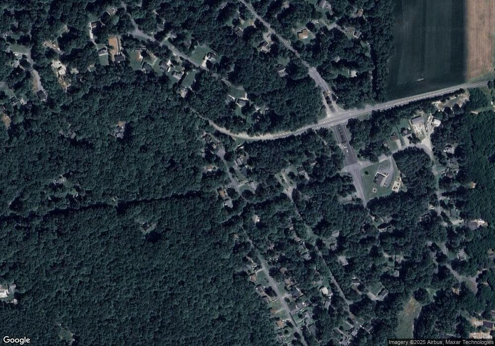
12 Bonsell Cove Ruther Glen, VA 22546
Estimated Value: $336,000 - $359,000
3
Beds
2
Baths
1,632
Sq Ft
$210/Sq Ft
Est. Value
About This Home
This home is located at 12 Bonsell Cove, Ruther Glen, VA 22546 and is currently estimated at $343,382, approximately $210 per square foot. 12 Bonsell Cove is a home located in Caroline County with nearby schools including Caroline Middle School and Caroline High School.
Ownership History
Date
Name
Owned For
Owner Type
Purchase Details
Closed on
Jun 3, 2022
Sold by
Mamula Christopher W
Bought by
Mamula Robert P
Current Estimated Value
Purchase Details
Closed on
Aug 31, 2004
Sold by
Simborski Ashley M
Bought by
Held Samuel
Home Financials for this Owner
Home Financials are based on the most recent Mortgage that was taken out on this home.
Original Mortgage
$61,000
Interest Rate
6.01%
Mortgage Type
New Conventional
Purchase Details
Closed on
Oct 27, 2003
Sold by
Edwards Richard
Bought by
Simborski Ashley
Home Financials for this Owner
Home Financials are based on the most recent Mortgage that was taken out on this home.
Original Mortgage
$118,146
Interest Rate
6.15%
Mortgage Type
FHA
Purchase Details
Closed on
Oct 9, 2000
Sold by
Duca Robert A
Bought by
Edwards Richard P
Home Financials for this Owner
Home Financials are based on the most recent Mortgage that was taken out on this home.
Original Mortgage
$78,278
Interest Rate
7.89%
Create a Home Valuation Report for This Property
The Home Valuation Report is an in-depth analysis detailing your home's value as well as a comparison with similar homes in the area
Home Values in the Area
Average Home Value in this Area
Purchase History
| Date | Buyer | Sale Price | Title Company |
|---|---|---|---|
| Mamula Robert P | $80,000 | Barlow Robert J | |
| Mamula Robert P | $80,000 | None Listed On Document | |
| Held Samuel | $161,000 | -- | |
| Simborski Ashley | $120,000 | -- | |
| Edwards Richard P | $76,950 | -- |
Source: Public Records
Mortgage History
| Date | Status | Borrower | Loan Amount |
|---|---|---|---|
| Previous Owner | Held Samuel | $61,000 | |
| Previous Owner | Simborski Ashley | $118,146 | |
| Previous Owner | Edwards Richard P | $78,278 |
Source: Public Records
Tax History Compared to Growth
Tax History
| Year | Tax Paid | Tax Assessment Tax Assessment Total Assessment is a certain percentage of the fair market value that is determined by local assessors to be the total taxable value of land and additions on the property. | Land | Improvement |
|---|---|---|---|---|
| 2025 | $251,944 | $327,200 | $50,000 | $277,200 |
| 2024 | $1,450 | $188,300 | $46,000 | $142,300 |
| 2023 | $1,450 | $188,300 | $46,000 | $142,300 |
| 2022 | $1,450 | $188,300 | $46,000 | $142,300 |
| 2021 | $1,450 | $188,300 | $46,000 | $142,300 |
| 2020 | $1,175 | $141,600 | $30,000 | $111,600 |
| 2019 | $1,175 | $141,600 | $30,000 | $111,600 |
| 2018 | $1,175 | $141,600 | $30,000 | $111,600 |
| 2017 | $1,175 | $141,600 | $30,000 | $111,600 |
| 2016 | -- | $141,600 | $30,000 | $111,600 |
| 2015 | $852 | $118,400 | $41,000 | $77,400 |
| 2014 | $852 | $118,400 | $41,000 | $77,400 |
Source: Public Records
Map
Nearby Homes
- 291 Land Or Dr
- 227 Stafford Dr
- 459 Land Or Dr
- 210 Hollyside Dr
- 10 Mahon Cir
- 227 Kent Dr
- 762 Canterbury Dr
- 600 Abbey Dr
- 753 Canterbury Dr
- 20 Greenvale Ct
- 310 Crump Dr
- 373 Land Or Dr
- 63 Bishop Cove
- 370 Land Or Dr
- 80 Albertson Ct
- 259 Manchester Dr
- 612 Wright Dr
- 649 Welsh Dr
- 208 Sea Cliff Dr
- 514 Redground Dr
