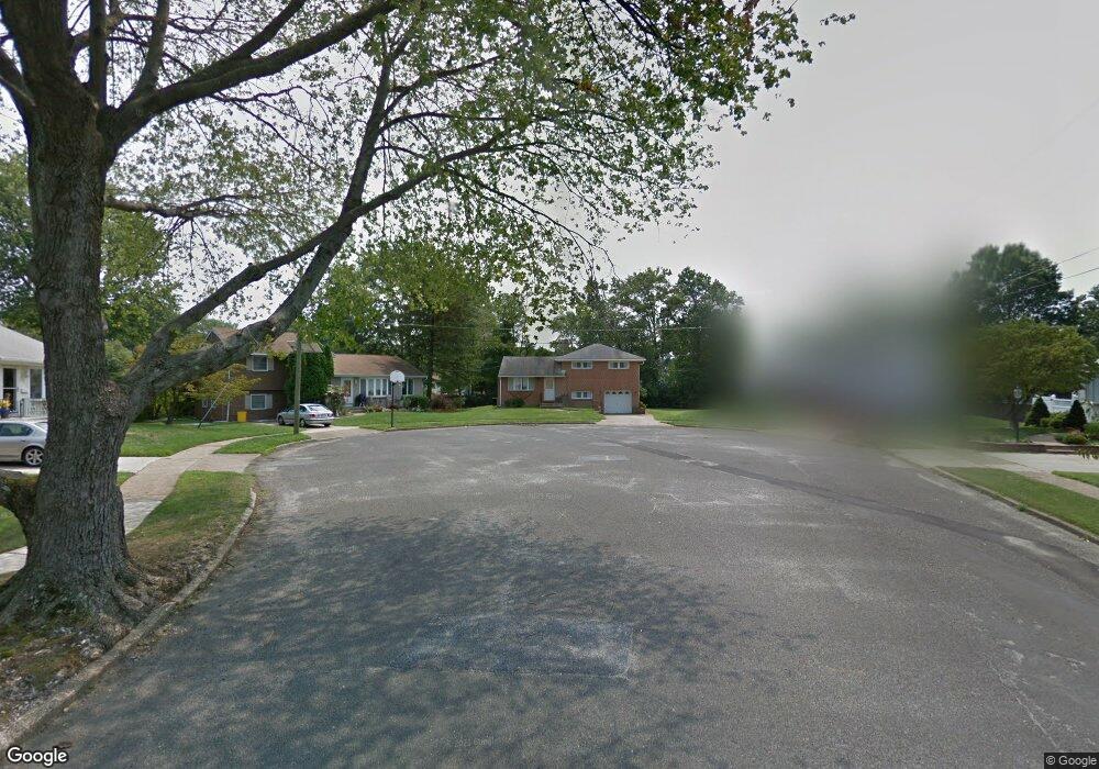
12 Briar Rd Maple Shade, NJ 08052
Estimated Value: $253,963 - $334,000
--
Bed
--
Bath
1,243
Sq Ft
$247/Sq Ft
Est. Value
About This Home
This home is located at 12 Briar Rd, Maple Shade, NJ 08052 and is currently estimated at $306,491, approximately $246 per square foot. 12 Briar Rd is a home located in Burlington County with nearby schools including Maude M. Wilkins Elementary School, Ralph J Steinhauer Elementary School, and Howard R Yocum School.
Ownership History
Date
Name
Owned For
Owner Type
Purchase Details
Closed on
Sep 8, 2025
Sold by
Margaret A Nicholson Irrevocable Trust
Bought by
Sample David K
Current Estimated Value
Purchase Details
Closed on
Jan 14, 2025
Sold by
Nicholson Margaret A
Bought by
Margaret A Nicholson Irrevocable Trust and Nicholson
Purchase Details
Closed on
Oct 30, 1985
Bought by
Nicholson James B and Nicholson Margaret A
Create a Home Valuation Report for This Property
The Home Valuation Report is an in-depth analysis detailing your home's value as well as a comparison with similar homes in the area
Home Values in the Area
Average Home Value in this Area
Purchase History
| Date | Buyer | Sale Price | Title Company |
|---|---|---|---|
| Sample David K | -- | None Listed On Document | |
| Margaret A Nicholson Irrevocable Trust | -- | None Listed On Document | |
| Margaret A Nicholson Irrevocable Trust | -- | None Listed On Document | |
| Nicholson James B | -- | -- |
Source: Public Records
Tax History Compared to Growth
Tax History
| Year | Tax Paid | Tax Assessment Tax Assessment Total Assessment is a certain percentage of the fair market value that is determined by local assessors to be the total taxable value of land and additions on the property. | Land | Improvement |
|---|---|---|---|---|
| 2025 | $5,637 | $148,500 | $51,900 | $96,600 |
| 2024 | $5,474 | $148,500 | $51,900 | $96,600 |
| 2023 | $5,474 | $148,500 | $51,900 | $96,600 |
| 2022 | $5,389 | $148,500 | $51,900 | $96,600 |
| 2021 | $4,625 | $148,500 | $51,900 | $96,600 |
| 2020 | $5,352 | $148,500 | $51,900 | $96,600 |
| 2019 | $5,156 | $148,500 | $51,900 | $96,600 |
| 2018 | $5,067 | $148,500 | $51,900 | $96,600 |
| 2017 | $4,757 | $148,500 | $51,900 | $96,600 |
| 2016 | $4,683 | $148,500 | $51,900 | $96,600 |
| 2015 | $4,576 | $148,500 | $51,900 | $96,600 |
| 2014 | $4,429 | $148,500 | $51,900 | $96,600 |
Source: Public Records
Map
Nearby Homes
- 327 S Coles Ave
- 319 S Coles Ave
- 5 Paul Rd
- 2 Gainor Ave
- 57 S Terrace Ave
- 111 Chestnut St Unit 208
- 111 Chestnut St Unit 404
- 480 W Front St
- 8275 Maple Ave
- 8515 Bryn Mawr Ave
- 50 Mara Ct
- 306 Cherry Hill Blvd
- 47 Mara Ct
- 102 Avignon Way
- 24 Maple Ave
- 410 S Forklanding Rd
- 120 E Center Ave
- 29 W Broadway
- 112 S Maple Ave
- 301 N Coles Ave
- 10 Briar Rd
- 9 Briar Rd
- 22 E Woodcrest Ave
- 24 E Woodcrest Ave
- 26 E Woodcrest Ave
- 99 W Woodcrest Ave
- 20 E Woodcrest Ave
- 95 W Woodcrest Ave
- 8 Briar Rd
- 91 W Woodcrest Ave
- 7 Briar Rd
- 89 W Woodcrest Ave
- 85 W Woodcrest Ave
- 83 W Woodcrest Ave
- 18 E Woodcrest Ave
- 6 Briar Rd
- 5 Briar Rd
- 16 E Woodcrest Ave
- 79 W Woodcrest Ave
- 4 Briar Rd