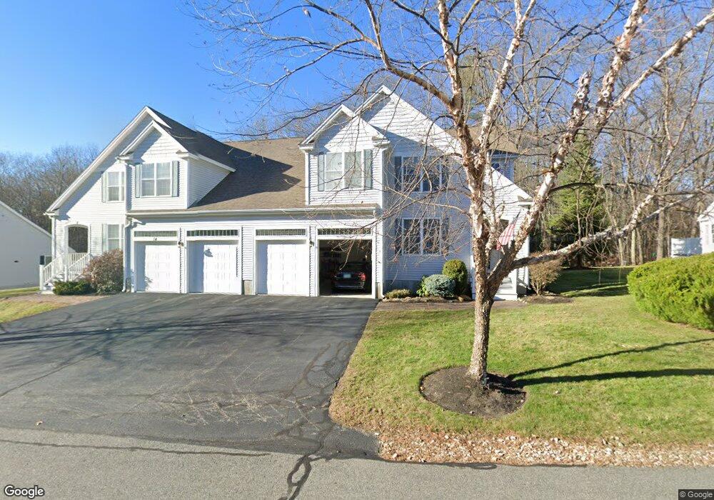
12 Cortland Ave Stratham, NH 03885
Estimated Value: $708,000 - $946,000
3
Beds
3
Baths
3,175
Sq Ft
$253/Sq Ft
Est. Value
About This Home
This home is located at 12 Cortland Ave, Stratham, NH 03885 and is currently estimated at $802,864, approximately $252 per square foot. 12 Cortland Ave is a home located in Rockingham County with nearby schools including Stratham Memorial School, Cooperative Middle School, and Exeter High School.
Ownership History
Date
Name
Owned For
Owner Type
Purchase Details
Closed on
Feb 28, 2023
Sold by
Million
Bought by
Leepson Max and Leepson Megan
Current Estimated Value
Home Financials for this Owner
Home Financials are based on the most recent Mortgage that was taken out on this home.
Original Mortgage
$407,400
Outstanding Balance
$393,735
Interest Rate
6.15%
Mortgage Type
Purchase Money Mortgage
Estimated Equity
$409,129
Create a Home Valuation Report for This Property
The Home Valuation Report is an in-depth analysis detailing your home's value as well as a comparison with similar homes in the area
Home Values in the Area
Average Home Value in this Area
Purchase History
| Date | Buyer | Sale Price | Title Company |
|---|---|---|---|
| Leepson Max | $603,000 | None Available |
Source: Public Records
Mortgage History
| Date | Status | Borrower | Loan Amount |
|---|---|---|---|
| Open | Leepson Max | $407,400 |
Source: Public Records
Tax History Compared to Growth
Tax History
| Year | Tax Paid | Tax Assessment Tax Assessment Total Assessment is a certain percentage of the fair market value that is determined by local assessors to be the total taxable value of land and additions on the property. | Land | Improvement |
|---|---|---|---|---|
| 2024 | $10,034 | $764,800 | $0 | $764,800 |
| 2023 | $8,523 | $407,600 | $0 | $407,600 |
| 2022 | $7,626 | $407,600 | $0 | $407,600 |
| 2021 | $7,549 | $407,600 | $0 | $407,600 |
| 2020 | $7,724 | $407,600 | $0 | $407,600 |
| 2019 | $7,594 | $407,600 | $0 | $407,600 |
| 2018 | $7,075 | $336,900 | $0 | $336,900 |
| 2017 | $6,839 | $336,900 | $0 | $336,900 |
| 2016 | $6,873 | $336,900 | $0 | $336,900 |
| 2015 | $6,704 | $336,900 | $0 | $336,900 |
| 2014 | $6,708 | $336,900 | $0 | $336,900 |
| 2013 | $6,769 | $344,500 | $0 | $344,500 |
Source: Public Records
Map
Nearby Homes
- 16 Parkman Brook Ln
- 133R Stratham Heights Rd
- 50 Thornhill Rd
- Homesite 1 Windsong Place
- Homesite 4 Windsong Place
- 31 Pinewood Dr
- 18 Treat Farm Rd
- 8 Winterberry Ln
- 91 Lovering Rd
- 22 Stratham Heights Rd
- 2 Sterling Hill Ln Unit 211
- 1 Sterling Hill Ln Unit 116
- 177 Winnicutt Rd
- 5 Sterling Hill Ln Unit 531
- 5 Sterling Hill Ln Unit 514
- 3 Sterling Hill Ln Unit 324
- 44 High St
- 61 Acadia Ln Unit 310
- 5 Pond View Dr
- 116 Robin Hood Dr
- 2 Blossom Ln
- 11 Cortland Ave
- 2 Blossom Ln Unit 50
- 1 Blossom Ln Unit 42
- 10 Cortland Ave
- 14 Cortland Ave
- 16 Cortland Ave
- 18 Cortland Ave
- 21 Cortland Ave
- 19 Cortland Ave
- 8 Blossom Ln
- 10 Blossom Ln
- 7 Blossom Ln
- 5 Blossom Ln
- 3 Blossom Ln
- 1 Blossom Ln
- 17 Cortland Ave
- 5 Blossom Ln Unit 44
- 18 Cortland Ave Unit 58
- 16 Cortland Ave Unit 59