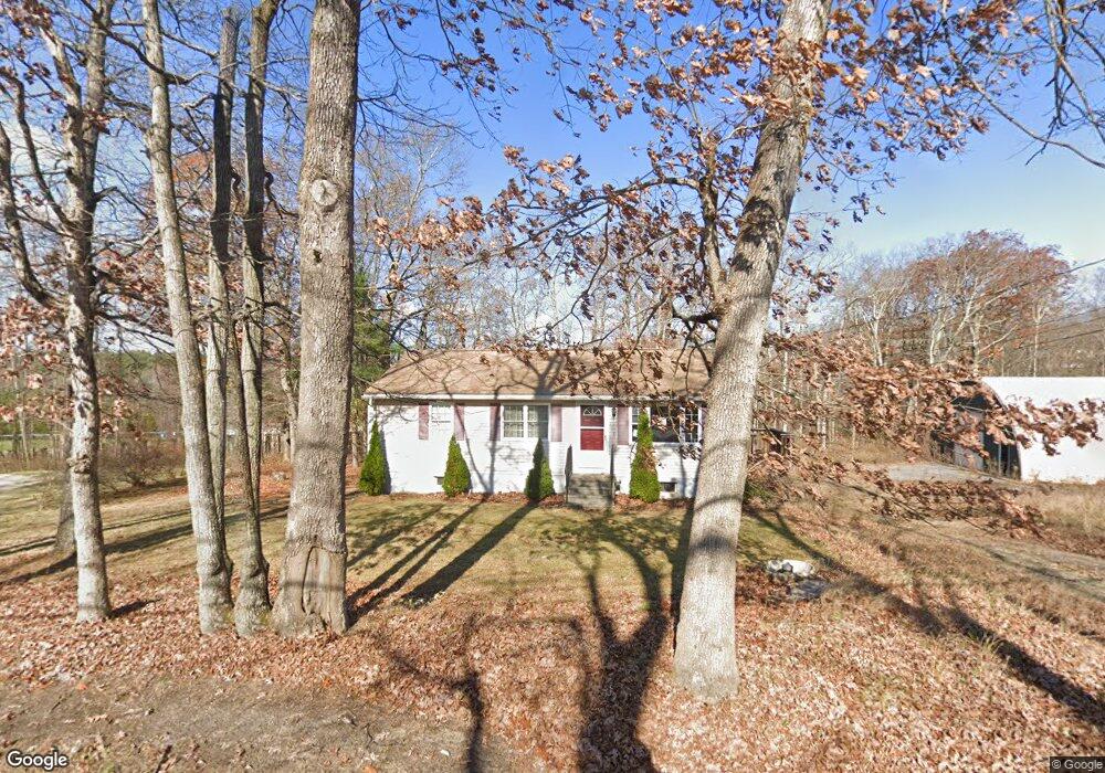
12 Flint Rd Charlton, MA 01507
3
Beds
1
Bath
992
Sq Ft
58,588
Sq Ft Lot
About This Home
This home is located at 12 Flint Rd, Charlton, MA 01507. 12 Flint Rd is a home located in Worcester County with nearby schools including Shepherd Hill Regional High School and ViewPoint Christian Academy.
Ownership History
Date
Name
Owned For
Owner Type
Purchase Details
Closed on
Oct 24, 2000
Sold by
Laplante Vera M
Bought by
Laplante Cindy L
Home Financials for this Owner
Home Financials are based on the most recent Mortgage that was taken out on this home.
Original Mortgage
$60,000
Interest Rate
7.88%
Mortgage Type
Commercial
Create a Home Valuation Report for This Property
The Home Valuation Report is an in-depth analysis detailing your home's value as well as a comparison with similar homes in the area
Home Values in the Area
Average Home Value in this Area
Purchase History
| Date | Buyer | Sale Price | Title Company |
|---|---|---|---|
| Laplante Cindy L | $60,000 | -- | |
| Laplante Cindy L | $60,000 | -- |
Source: Public Records
Mortgage History
| Date | Status | Borrower | Loan Amount |
|---|---|---|---|
| Open | Laplante Cindy L | $146,000 | |
| Closed | Laplante Cindy L | $60,000 | |
| Previous Owner | Laplante Cindy L | $116,309 |
Source: Public Records
Tax History
| Year | Tax Paid | Tax Assessment Tax Assessment Total Assessment is a certain percentage of the fair market value that is determined by local assessors to be the total taxable value of land and additions on the property. | Land | Improvement |
|---|---|---|---|---|
| 2025 | $3,506 | $315,000 | $80,500 | $234,500 |
| 2024 | $3,320 | $292,800 | $77,500 | $215,300 |
| 2023 | $3,504 | $287,900 | $74,600 | $213,300 |
| 2022 | $3,493 | $262,800 | $73,400 | $189,400 |
| 2021 | $3,559 | $237,100 | $71,600 | $165,500 |
| 2020 | $3,453 | $231,100 | $65,600 | $165,500 |
| 2019 | $3,413 | $231,100 | $65,600 | $165,500 |
| 2018 | $3,120 | $231,100 | $65,600 | $165,500 |
| 2017 | $2,995 | $212,400 | $59,700 | $152,700 |
| 2016 | $2,927 | $212,400 | $59,700 | $152,700 |
| 2015 | $2,850 | $212,400 | $59,700 | $152,700 |
| 2014 | $2,793 | $220,600 | $64,200 | $156,400 |
Source: Public Records
Map
Nearby Homes
- 7 L Stevens Rd Unit B
- 9 L Stevens Rd Unit B
- 9 L Stevens Rd Unit A
- 91 Burlingame Rd
- 25 N Main St Unit A
- 0 Freeman Rd Unit 73369281
- 8 Northside Rd
- 30 Bond Rd
- 6 Gillespie Rd
- 34 Worcester Rd
- 34 Northside Rd
- 0 Worcester Rd
- 0 Blood Rd
- 35 J Davis Rd
- 6 S Sullivan Rd
- 7 Stevens Park Rd Unit A
- 68 - 74 Sturbridge Rd
- Lot 7 Harrington Rd
- 8 Wamsutta Ridge Rd
- L2 Partridge Hill Rd
Your Personal Tour Guide
Ask me questions while you tour the home.