12 Greene St Wilton, NH 03086
Estimated Value: $462,996 - $502,000
3
Beds
2
Baths
1,984
Sq Ft
$247/Sq Ft
Est. Value
About This Home
This home is located at 12 Greene St, Wilton, NH 03086 and is currently estimated at $489,499, approximately $246 per square foot. 12 Greene St is a home located in Hillsborough County with nearby schools including Florence Rideout Elementary School, Wilton-Lyndeborough Cooperative Middle School, and Wilton-Lyndeborough Cooperative High School.
Ownership History
Date
Name
Owned For
Owner Type
Purchase Details
Closed on
Sep 26, 2008
Sold by
Oconnell Timothy J and Douglass Kristen M
Bought by
Pickell Robert C and Pickell Jamie
Current Estimated Value
Home Financials for this Owner
Home Financials are based on the most recent Mortgage that was taken out on this home.
Original Mortgage
$218,700
Interest Rate
6.57%
Mortgage Type
Purchase Money Mortgage
Purchase Details
Closed on
Dec 12, 2000
Sold by
Comtois David E
Bought by
Oconnell Timothy J
Create a Home Valuation Report for This Property
The Home Valuation Report is an in-depth analysis detailing your home's value as well as a comparison with similar homes in the area
Home Values in the Area
Average Home Value in this Area
Purchase History
| Date | Buyer | Sale Price | Title Company |
|---|---|---|---|
| Pickell Robert C | $240,000 | -- | |
| Oconnell Timothy J | $164,000 | -- |
Source: Public Records
Mortgage History
| Date | Status | Borrower | Loan Amount |
|---|---|---|---|
| Open | Oconnell Timothy J | $193,669 | |
| Closed | Oconnell Timothy J | $221,980 | |
| Closed | Oconnell Timothy J | $218,700 | |
| Previous Owner | Oconnell Timothy J | $27,675 |
Source: Public Records
Tax History Compared to Growth
Tax History
| Year | Tax Paid | Tax Assessment Tax Assessment Total Assessment is a certain percentage of the fair market value that is determined by local assessors to be the total taxable value of land and additions on the property. | Land | Improvement |
|---|---|---|---|---|
| 2024 | $7,705 | $309,800 | $121,900 | $187,900 |
| 2023 | $6,878 | $309,800 | $121,900 | $187,900 |
| 2022 | $6,400 | $309,800 | $121,900 | $187,900 |
| 2021 | $5,954 | $309,800 | $121,900 | $187,900 |
| 2020 | $6,466 | $220,000 | $86,400 | $133,600 |
| 2019 | $6,389 | $220,000 | $86,400 | $133,600 |
| 2018 | $6,327 | $220,000 | $86,400 | $133,600 |
| 2017 | $5,977 | $220,000 | $86,400 | $133,600 |
| 2016 | $5,803 | $220,300 | $86,400 | $133,900 |
| 2015 | $6,029 | $228,900 | $102,600 | $126,300 |
| 2014 | $5,906 | $228,900 | $102,600 | $126,300 |
| 2013 | $5,956 | $228,900 | $102,600 | $126,300 |
Source: Public Records
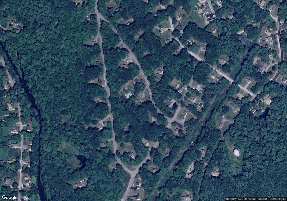
Map
Nearby Homes
- 81 Abbot Hill Acres
- 18 Richfield Way
- 88 McGettigan Rd Unit 88-6-1
- 27 Island St
- 10 Mill St
- 8 Maple St
- F-88-10 Aria Hill Dr
- F-88-11 Aria Hill Dr
- F-88-12 Aria Hill Dr
- F/88-5 McGettigan Rd
- F/88-4 McGettigan Rd
- F-88-7 Aria Hill Dr
- Lot F-88-9 Aria Hill Dr
- 134 Falcon Ridge Rd Unit 23
- Lots 4 & 7 Gibbons & Robbins Rd
- 0 Marden Rd
- 30 Holden Ln
- 59 Goldsmith Rd
- 60 Goldsmith Rd
- 119 Boynton Hill Rd