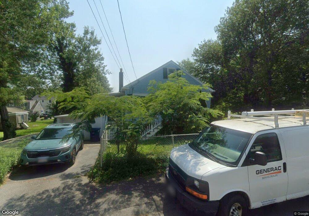
12 Grove St Fairhaven, MA 02719
Pope Beach NeighborhoodEstimated Value: $367,000 - $373,000
2
Beds
1
Bath
722
Sq Ft
$513/Sq Ft
Est. Value
About This Home
This home is located at 12 Grove St, Fairhaven, MA 02719 and is currently estimated at $370,185, approximately $512 per square foot. 12 Grove St is a home located in Bristol County with nearby schools including Fairhaven High School, City On A Hill Charter Public School New Bedford, and St. Joseph School.
Ownership History
Date
Name
Owned For
Owner Type
Purchase Details
Closed on
Jun 24, 2004
Sold by
Perkins Dianne E
Bought by
Perkins Dianne E and Mullin Richard E
Current Estimated Value
Purchase Details
Closed on
May 17, 2000
Sold by
Brunelle Henry and Brunelle Eleanor
Bought by
Perkins Harry T and Perkins Dianne E
Home Financials for this Owner
Home Financials are based on the most recent Mortgage that was taken out on this home.
Original Mortgage
$80,000
Interest Rate
8.19%
Mortgage Type
Purchase Money Mortgage
Create a Home Valuation Report for This Property
The Home Valuation Report is an in-depth analysis detailing your home's value as well as a comparison with similar homes in the area
Home Values in the Area
Average Home Value in this Area
Purchase History
| Date | Buyer | Sale Price | Title Company |
|---|---|---|---|
| Perkins Dianne E | -- | -- | |
| Perkins Harry T | $115,000 | -- |
Source: Public Records
Mortgage History
| Date | Status | Borrower | Loan Amount |
|---|---|---|---|
| Previous Owner | Perkins Harry T | $39,304 | |
| Previous Owner | Perkins Harry T | $80,000 |
Source: Public Records
Tax History Compared to Growth
Tax History
| Year | Tax Paid | Tax Assessment Tax Assessment Total Assessment is a certain percentage of the fair market value that is determined by local assessors to be the total taxable value of land and additions on the property. | Land | Improvement |
|---|---|---|---|---|
| 2025 | $29 | $313,200 | $169,300 | $143,900 |
| 2024 | $2,833 | $306,900 | $169,300 | $137,600 |
| 2023 | $2,753 | $276,700 | $148,300 | $128,400 |
| 2022 | $2,665 | $260,800 | $137,800 | $123,000 |
| 2021 | $2,533 | $224,400 | $124,700 | $99,700 |
| 2020 | $2,482 | $224,400 | $124,700 | $99,700 |
| 2019 | $2,276 | $195,000 | $103,400 | $91,600 |
| 2018 | $2,174 | $185,000 | $98,400 | $86,600 |
| 2017 | $2,143 | $178,000 | $98,400 | $79,600 |
| 2016 | $2,083 | $171,000 | $98,400 | $72,600 |
| 2015 | $2,042 | $168,100 | $98,400 | $69,700 |
Source: Public Records
Map
Nearby Homes
- 15 Bayview Ave
- 190 Sconticut Neck Rd
- 70 Hathaway St
- 40 Highland Ave
- 15 Baxter Ave
- 22 John St
- 3 Harbor Mist Dr
- 16 Reservation Rd
- 17 Turner Ave
- 19 Smith St
- 2 Washburn Ave
- 11 Lawton St
- 14 Summit Dr
- 389 Sconticut Neck Rd
- 706 Ocean Meadows
- 18 Maple Ave
- 450 Bridge St
- 133 Pleasant St
- 32 Green St
- 8 Sunset Beach Rd