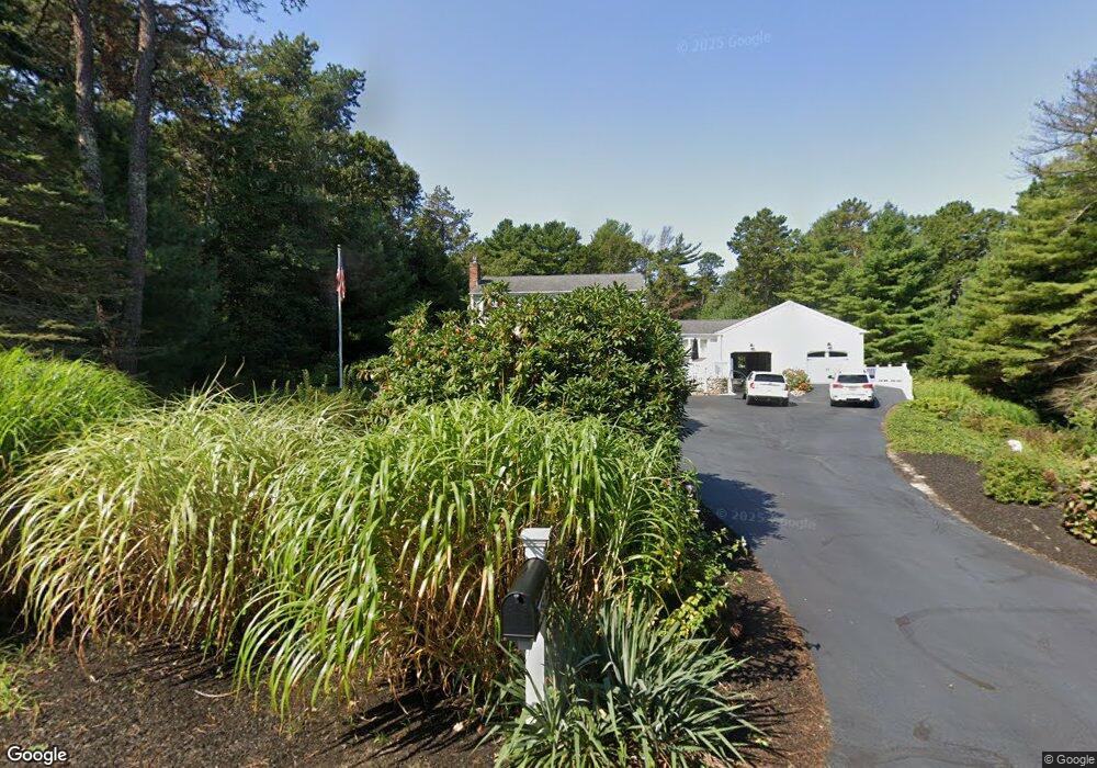
12 Kristi Way West Barnstable, MA 02668
West Barnstable NeighborhoodEstimated Value: $848,711 - $1,071,000
5
Beds
3
Baths
2,701
Sq Ft
$357/Sq Ft
Est. Value
About This Home
This home is located at 12 Kristi Way, West Barnstable, MA 02668 and is currently estimated at $962,928, approximately $356 per square foot. 12 Kristi Way is a home located in Barnstable County with nearby schools including Barnstable United Elementary School, West Barnstable Elementary School, and Barnstable Intermediate School.
Ownership History
Date
Name
Owned For
Owner Type
Purchase Details
Closed on
May 28, 1998
Sold by
Leola J Wnuck Ret
Bought by
Tucker Richard H
Current Estimated Value
Create a Home Valuation Report for This Property
The Home Valuation Report is an in-depth analysis detailing your home's value as well as a comparison with similar homes in the area
Home Values in the Area
Average Home Value in this Area
Purchase History
| Date | Buyer | Sale Price | Title Company |
|---|---|---|---|
| Tucker Richard H | $222,500 | -- |
Source: Public Records
Mortgage History
| Date | Status | Borrower | Loan Amount |
|---|---|---|---|
| Open | Tucker Richard H | $355,200 | |
| Closed | Tucker Richard H | $35,000 | |
| Closed | Tucker Richard H | $240,000 |
Source: Public Records
Tax History Compared to Growth
Tax History
| Year | Tax Paid | Tax Assessment Tax Assessment Total Assessment is a certain percentage of the fair market value that is determined by local assessors to be the total taxable value of land and additions on the property. | Land | Improvement |
|---|---|---|---|---|
| 2025 | $7,138 | $764,200 | $173,600 | $590,600 |
| 2024 | $6,276 | $731,500 | $173,600 | $557,900 |
| 2023 | $5,837 | $640,700 | $157,800 | $482,900 |
| 2022 | $5,396 | $485,700 | $116,900 | $368,800 |
| 2021 | $2,888 | $456,000 | $116,900 | $339,100 |
| 2020 | $4,938 | $407,400 | $116,900 | $290,500 |
| 2019 | $2,960 | $411,900 | $116,900 | $295,000 |
| 2018 | $4,674 | $377,200 | $123,000 | $254,200 |
| 2017 | $4,525 | $369,700 | $123,000 | $246,700 |
| 2016 | $4,406 | $367,500 | $120,800 | $246,700 |
| 2015 | $4,521 | $378,000 | $121,900 | $256,100 |
Source: Public Records
Map
Nearby Homes
- 329 Woodside Rd
- 250 The Plains Rd
- 50 Currycomb Cir
- 80 Saddler Ln
- 74 Saddler Ln
- 88 Joe Thompson Rd
- 40 Appaloosa Way
- 1044 Old Falmouth Rd
- 1028 Old Falmouth Rd
- 158 Lakeside Dr
- 128 Lakeside Dr
- 87 Foxglove Rd
- 282 Parker Rd
- 38 Lakeside Dr
- 62 3 Ponds Dr
- 62 Three Ponds Dr
- 2400 Meetinghouse Way
- 339 Cedar St
- 42 Sandy Valley Rd
- 6 Black Oak Rd
- 202 Woodside Rd
- 1730 Osterville West Barnstabl
- 34 Kristi Way
- 234 Woodside Rd
- 0 Woodside Rd
- 264 Woodside Rd
- 193 Woodside Rd
- 229 Woodside Rd
- 184 Woodside Rd
- 175 Woodside Rd
- 251 Woodside Rd
- 35 Pioneer Path
- 170 Woodside Rd
- 175 Woodside Rd Unit W00
- 286 Woodside Rd
- 79 Pioneer Path
- 275 Woodside Rd
- 55 Pioneer Path
- 291 Woodside Rd
- 155 Woodside Rd