12 Lands End Ln Unit 2 Moultonborough, NH 03254
Estimated Value: $745,000 - $1,302,000
3
Beds
3
Baths
2,197
Sq Ft
$423/Sq Ft
Est. Value
About This Home
This home is located at 12 Lands End Ln Unit 2, Moultonborough, NH 03254 and is currently estimated at $930,218, approximately $423 per square foot. 12 Lands End Ln Unit 2 is a home located in Carroll County with nearby schools including Moultonborough Central School and Moultonborough Academy High School.
Ownership History
Date
Name
Owned For
Owner Type
Purchase Details
Closed on
Oct 8, 2004
Sold by
Lee Michael J and Lee Debra A
Bought by
Brewer Michael G and Brewer Patricia
Current Estimated Value
Home Financials for this Owner
Home Financials are based on the most recent Mortgage that was taken out on this home.
Original Mortgage
$520,000
Interest Rate
5.84%
Mortgage Type
Purchase Money Mortgage
Create a Home Valuation Report for This Property
The Home Valuation Report is an in-depth analysis detailing your home's value as well as a comparison with similar homes in the area
Home Values in the Area
Average Home Value in this Area
Purchase History
| Date | Buyer | Sale Price | Title Company |
|---|---|---|---|
| Brewer Michael G | $520,000 | -- |
Source: Public Records
Mortgage History
| Date | Status | Borrower | Loan Amount |
|---|---|---|---|
| Open | Brewer Michael G | $364,000 | |
| Closed | Brewer Michael G | $520,000 |
Source: Public Records
Tax History Compared to Growth
Tax History
| Year | Tax Paid | Tax Assessment Tax Assessment Total Assessment is a certain percentage of the fair market value that is determined by local assessors to be the total taxable value of land and additions on the property. | Land | Improvement |
|---|---|---|---|---|
| 2024 | $3,458 | $612,100 | $0 | $612,100 |
| 2023 | $2,371 | $416,000 | $0 | $416,000 |
| 2022 | $1,827 | $382,300 | $0 | $382,300 |
| 2021 | $2,503 | $358,600 | $0 | $358,600 |
| 2020 | $2,732 | $383,100 | $0 | $383,100 |
| 2019 | $3,610 | $504,900 | $0 | $504,900 |
| 2018 | $3,968 | $497,800 | $0 | $497,800 |
| 2017 | $4,345 | $497,600 | $0 | $497,600 |
| 2016 | $4,345 | $497,100 | $0 | $497,100 |
| 2015 | $4,149 | $460,500 | $0 | $460,500 |
| 2014 | $4,080 | $460,500 | $0 | $460,500 |
| 2013 | $4,002 | $460,500 | $0 | $460,500 |
Source: Public Records
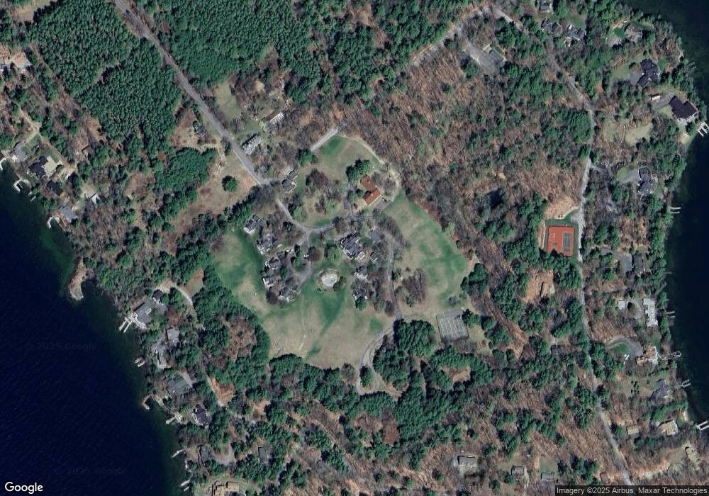
Map
Nearby Homes
- 9 Starboard Ln Unit 1
- 00 Rivers Rd
- 167 Long Island Rd
- 10 Woodridge Rd
- 00 Beede Rd
- 16 Long Island Rd
- 14 Island View Dr
- 5 Bennett Farm Rd
- 31 Rays Way
- 323 Governor Wentworth Hwy
- 101 Tuftonboro Neck Rd
- 2 Jordan Way
- 7 Flint Dr
- 63 Varney Point Road Right
- 1 Woodbridge Lsp Rd
- 24 Dock Rd Unit 22
- 24 Dock Rd Unit 18
- 47 Varney Point Road Right
- 24 Shirley Way
- 197 Scenic Dr Unit 3
- 12 Lands End Ln Unit 12D
- 12 Lands End Ln Unit 4
- 12 Lands End Ln Unit 3
- 12 Lands End Ln Unit 2
- 12 Lands End Ln Unit 1
- 12 Lands End Ln Unit 12B
- 12 Lands End Ln Unit B
- 12 Lands End Ln Unit B
- 12 Lands End Ln
- 12 Lands End Ln Unit 12D
- 12D W/DOCK Lands End
- 12D W/DOCK Lands End Unit 12D
- 16 Lands End Ln
- 36 Lands End Ln Unit 3
- 7 Lands End Ln Unit 7
- 7 Lands End Ln Unit 7A
- 5 Land's End Unit 30/5
- 6 Lands End Ln
- 6 Lands End Ln Unit 2
- 6 Lands End Ln Unit 3