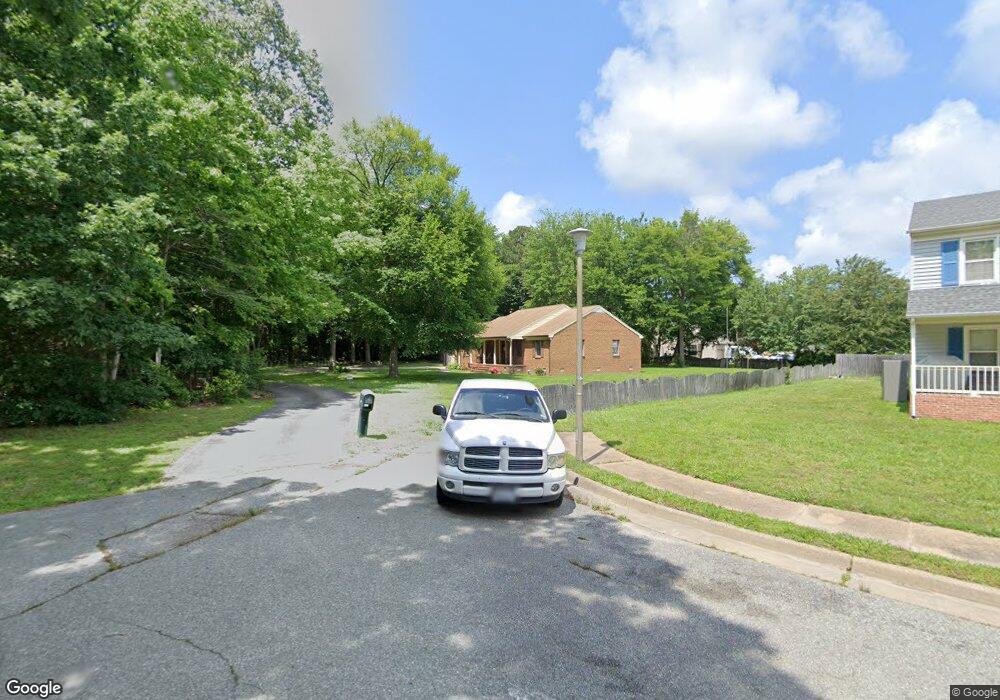
12 Leahs Trace Hampton, VA 23666
Northampton NeighborhoodEstimated Value: $360,000 - $456,000
3
Beds
2
Baths
2,174
Sq Ft
$185/Sq Ft
Est. Value
About This Home
This home is located at 12 Leahs Trace, Hampton, VA 23666 and is currently estimated at $401,957, approximately $184 per square foot. 12 Leahs Trace is a home located in Hampton City with nearby schools including Forrest Elementary School, Cesar Tarrant Middle School, and Bethel High School.
Ownership History
Date
Name
Owned For
Owner Type
Purchase Details
Closed on
Sep 17, 2001
Sold by
Sealy Joseph A
Bought by
Hayes Edison O
Current Estimated Value
Home Financials for this Owner
Home Financials are based on the most recent Mortgage that was taken out on this home.
Original Mortgage
$145,000
Outstanding Balance
$54,628
Interest Rate
6.99%
Estimated Equity
$347,329
Create a Home Valuation Report for This Property
The Home Valuation Report is an in-depth analysis detailing your home's value as well as a comparison with similar homes in the area
Home Values in the Area
Average Home Value in this Area
Purchase History
| Date | Buyer | Sale Price | Title Company |
|---|---|---|---|
| Hayes Edison O | $184,900 | -- |
Source: Public Records
Mortgage History
| Date | Status | Borrower | Loan Amount |
|---|---|---|---|
| Open | Hayes Edison O | $145,000 |
Source: Public Records
Tax History
| Year | Tax Paid | Tax Assessment Tax Assessment Total Assessment is a certain percentage of the fair market value that is determined by local assessors to be the total taxable value of land and additions on the property. | Land | Improvement |
|---|---|---|---|---|
| 2025 | $4,814 | $445,500 | $77,700 | $367,800 |
| 2024 | $4,253 | $369,800 | $77,700 | $292,100 |
| 2023 | $4,189 | $361,100 | $66,600 | $294,500 |
| 2022 | $4,268 | $361,700 | $61,100 | $300,600 |
| 2021 | $3,979 | $310,400 | $55,500 | $254,900 |
| 2020 | $3,474 | $280,200 | $55,500 | $224,700 |
| 2019 | $3,434 | $276,900 | $55,500 | $221,400 |
| 2018 | $3,363 | $263,600 | $50,000 | $213,600 |
| 2017 | $3,363 | $0 | $0 | $0 |
| 2016 | $3,363 | $263,600 | $0 | $0 |
| 2015 | $3,363 | $0 | $0 | $0 |
| 2014 | $3,215 | $244,700 | $58,700 | $186,000 |
Source: Public Records
Map
Nearby Homes
- 838 Sharpley Ave
- 8 Leahs Trace
- 839 Sharpley Ave
- 6 Leahs Trace
- 836 Sharpley Ave
- 837 Sharpley Ave
- 58 Cornwall Terrace
- 7 Leahs Trace
- 835 Sharpley Ave
- 56 Cornwall Terrace
- 5 Leahs Trace
- 16 Roberts Trace
- 54 Cornwall Terrace
- 14 Roberts Trace
- 3 Leahs Trace
- 2 Leahs Trace
- 12 Roberts Trace
- 8 Brantleys Trace
- 6 Brantleys Trace
- 59 Cornwall Terrace
Your Personal Tour Guide
Ask me questions while you tour the home.