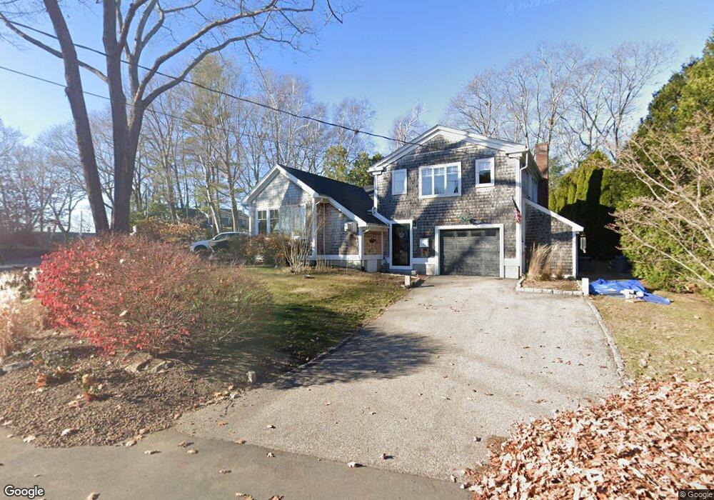
12 Locke Rd New Castle, NH 03854
New Castle Island NeighborhoodEstimated Value: $1,721,490 - $2,512,000
3
Beds
3
Baths
2,100
Sq Ft
$1,035/Sq Ft
Est. Value
About This Home
This home is located at 12 Locke Rd, New Castle, NH 03854 and is currently estimated at $2,174,373, approximately $1,035 per square foot. 12 Locke Rd is a home located in Rockingham County.
Ownership History
Date
Name
Owned For
Owner Type
Purchase Details
Closed on
Dec 1, 2010
Sold by
Danielski Michael C
Bought by
Dinsmore Dennis G and Dinsmore Kathleen L
Current Estimated Value
Home Financials for this Owner
Home Financials are based on the most recent Mortgage that was taken out on this home.
Original Mortgage
$450,000
Interest Rate
4.22%
Mortgage Type
Purchase Money Mortgage
Purchase Details
Closed on
Jan 6, 2004
Sold by
S & S Carpenter Bldg & and S
Bought by
Hollister Katherine A
Purchase Details
Closed on
Feb 14, 2003
Sold by
James F Roche T
Bought by
S & S Carpenter Bldg &
Create a Home Valuation Report for This Property
The Home Valuation Report is an in-depth analysis detailing your home's value as well as a comparison with similar homes in the area
Home Values in the Area
Average Home Value in this Area
Purchase History
| Date | Buyer | Sale Price | Title Company |
|---|---|---|---|
| Dinsmore Dennis G | $725,000 | -- | |
| Hollister Katherine A | $680,000 | -- | |
| S & S Carpenter Bldg & | $359,900 | -- |
Source: Public Records
Mortgage History
| Date | Status | Borrower | Loan Amount |
|---|---|---|---|
| Open | S & S Carpenter Bldg & | $437,000 | |
| Closed | S & S Carpenter Bldg & | $450,000 | |
| Previous Owner | S & S Carpenter Bldg & | $150,000 |
Source: Public Records
Tax History Compared to Growth
Tax History
| Year | Tax Paid | Tax Assessment Tax Assessment Total Assessment is a certain percentage of the fair market value that is determined by local assessors to be the total taxable value of land and additions on the property. | Land | Improvement |
|---|---|---|---|---|
| 2024 | $7,067 | $1,311,200 | $853,900 | $457,300 |
| 2023 | $6,530 | $1,311,200 | $853,900 | $457,300 |
| 2022 | $5,900 | $1,311,200 | $853,900 | $457,300 |
| 2021 | $6,268 | $1,311,200 | $853,900 | $457,300 |
| 2020 | $5,503 | $873,500 | $577,900 | $295,600 |
| 2019 | $5,407 | $873,500 | $577,900 | $295,600 |
| 2018 | $5,241 | $873,500 | $577,900 | $295,600 |
| 2016 | $5,110 | $873,500 | $577,900 | $295,600 |
| 2015 | $4,723 | $737,900 | $462,900 | $275,000 |
| 2014 | $4,870 | $737,900 | $462,900 | $275,000 |
| 2013 | $4,715 | $737,900 | $462,900 | $275,000 |
Source: Public Records
Map
Nearby Homes
- 18 Mainmast Cir
- 14 Colonial Ln
- 175 Wentworth Rd
- 57 Old Bay Rd
- 17 Elm Ct
- 15 Atkinson St
- 24 Seabreeze Ln
- 167 Little Harbor Rd
- 163 Little Harbor Rd
- 205 Whipple Rd
- 112 Wentworth Rd
- 116 Whipple Rd
- 72 Pepperrell Rd
- 12 Gillis Dr Unit 3
- 325 Marcy St
- 112 Mechanic St
- 210 South St
- 33 Gardner St
- 405 Pleasant St
- 137 Walker Bungalow Rd