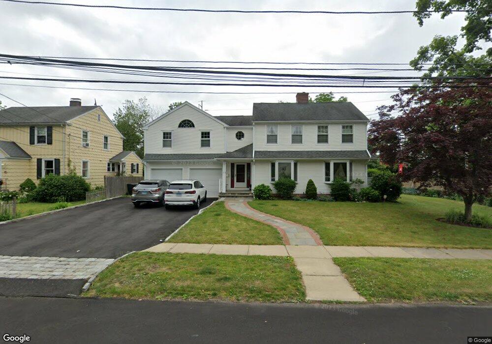
12 Ludlowe Rd Fairfield, CT 06824
Fairfield Center NeighborhoodEstimated Value: $629,000 - $1,470,420
4
Beds
5
Baths
2,918
Sq Ft
$423/Sq Ft
Est. Value
About This Home
This home is located at 12 Ludlowe Rd, Fairfield, CT 06824 and is currently estimated at $1,234,605, approximately $423 per square foot. 12 Ludlowe Rd is a home located in Fairfield County with nearby schools including Riverfield Elementary School, Roger Ludlowe Middle School, and Fairfield Ludlowe High School.
Ownership History
Date
Name
Owned For
Owner Type
Purchase Details
Closed on
Oct 3, 1988
Sold by
Halsted Linda R
Bought by
Mack David G
Current Estimated Value
Purchase Details
Closed on
Jul 1, 1988
Sold by
Green Andrew D
Bought by
Halsted Linda R
Create a Home Valuation Report for This Property
The Home Valuation Report is an in-depth analysis detailing your home's value as well as a comparison with similar homes in the area
Home Values in the Area
Average Home Value in this Area
Purchase History
| Date | Buyer | Sale Price | Title Company |
|---|---|---|---|
| Mack David G | $220,000 | -- | |
| Halsted Linda R | $220,000 | -- |
Source: Public Records
Mortgage History
| Date | Status | Borrower | Loan Amount |
|---|---|---|---|
| Open | Halsted Linda R | $120,000 | |
| Open | Halsted Linda R | $578,500 | |
| Closed | Halsted Linda R | $99,000 |
Source: Public Records
Tax History Compared to Growth
Tax History
| Year | Tax Paid | Tax Assessment Tax Assessment Total Assessment is a certain percentage of the fair market value that is determined by local assessors to be the total taxable value of land and additions on the property. | Land | Improvement |
|---|---|---|---|---|
| 2025 | $15,938 | $561,400 | $277,200 | $284,200 |
| 2024 | $15,663 | $561,400 | $277,200 | $284,200 |
| 2023 | $15,444 | $561,400 | $277,200 | $284,200 |
| 2022 | $15,293 | $561,400 | $277,200 | $284,200 |
| 2021 | $15,147 | $561,400 | $277,200 | $284,200 |
| 2020 | $14,565 | $543,690 | $245,280 | $298,410 |
| 2019 | $14,565 | $543,690 | $245,280 | $298,410 |
| 2018 | $14,332 | $543,690 | $245,280 | $298,410 |
| 2017 | $14,038 | $543,690 | $245,280 | $298,410 |
| 2016 | $13,837 | $543,690 | $245,280 | $298,410 |
| 2015 | $13,915 | $561,330 | $272,510 | $288,820 |
| 2014 | $13,696 | $561,330 | $272,510 | $288,820 |
Source: Public Records
Map
Nearby Homes
- 21 Beaumont St
- 43 Helen St
- 245 Unquowa Rd Unit 34
- 245 Unquowa Rd Unit 33
- 226 Ruane St
- 57 Beaumont Place
- 209 S Pine Creek Rd
- 127 Paul Place
- 88 Overhill Rd
- 100 Overhill Rd
- 294 Catherine Terrace
- 85 Patrick Dr
- 400 Bronson Rd
- 196 Catherine Terrace
- 345 Reef Rd Unit B6
- 345 Reef Rd Unit C9
- 647 Bronson Rd
- 2 Mellow St
- 137 Millard St
- 53 Hilltop Dr